Temperatures are slowly on the rise from the south this weekend, but snow and ice will still feature quite widely.
Winter proper continues further north today, but to the south temperatures are beginning to rise slowly and a thaw will be setting in, with that milder air edging ever further north through the weekend.
There's been more snow overnight, with showers continuing to affect northeastern England and eastern Scotland. Plus we've had a weakening band of snow moving north through the Midlands and northern England, which is soon to reach southern Scotland. To the south of all that, with milder air, rain showers have moved into the southwest, although these will fall as sleet and snow as they move further north during the day.
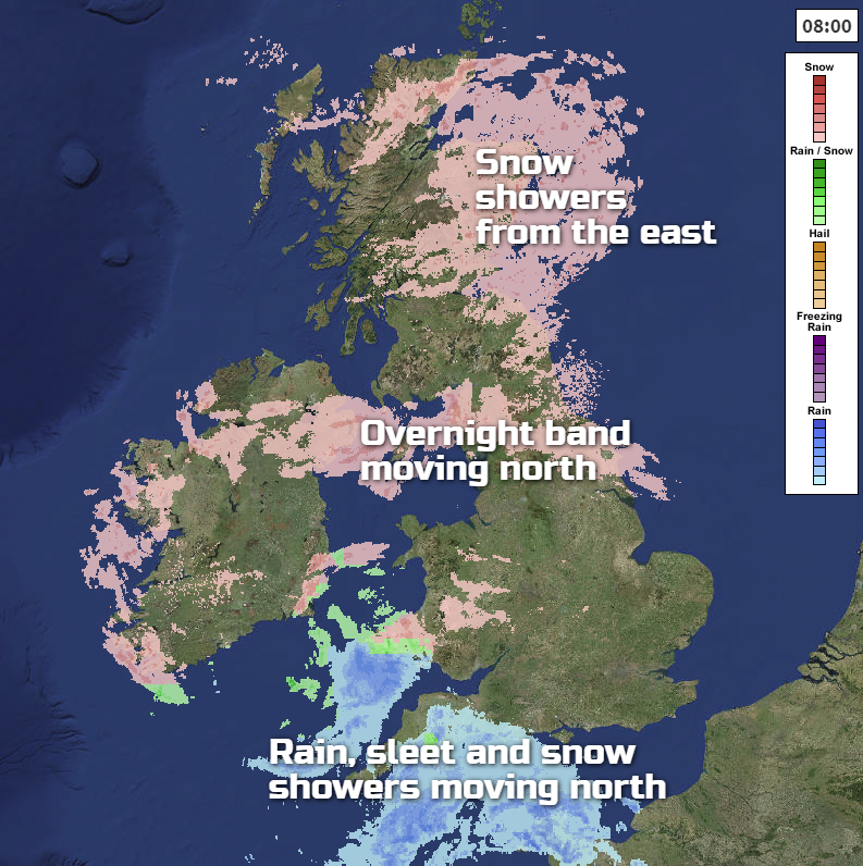
For the rest of Saturday, the mostly light snow showers in the northeast will continue. The band of snow in southern Scotland will also tend to fizzle out, leaving the main action of the day further south. Initially, that's in the form of some showery rain affecting southern England. But once that gets it's act together later this afternoon and into the evening, to push further north, it'll be back to snow again into the Midlands (probably M4 north), Wales and eventually other parts of England into Sunday. With milder air tucking in behind, it may well turn to rain or sleet on it's trailing edge, especially in eastern parts. With more showers of rain, sleet and hill snow following in from the south on Sunday too.
As that initial band of (mostly) snow reaches northern England during the first part of Sunday, it does look likely to pep up further east. That process continues as it moves into Scotland too, so some further accumulations are on the way. The animation below shows what's currently forecast to happen from this evening and through Sunday.
Temperatures this weekend will be quite varied. Saturday will see highs of -2 to 2c for much of Scotland, northern England, Wales, Northern and Southern Ireland along with central England. Southern England will reach the heady heights of 4-7c. Sunday will see the milder air move further north, with a good part of England and Wales up to 4-7c. From the far north of England northward it's colder though at -1 to 2c again though, with much of Ireland somewhere in between.
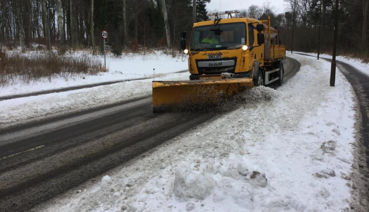
With temperatures still around or below freezing in many parts through the weekend, ice is going to be a hazard, even as the slow thaw begins. And added on to that, there will be further falls of snow, so conditions will continue to be difficult for travel both on road and on foot in many parts, and the Met Office do still have warnings in place for all of this.
Into next week, well, if you're expecting a jump into more spring-like conditions, look away now.
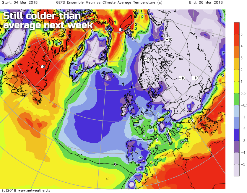
That's not to say we'll be anywhere near as cold as we have been this week. But Scotland will stay cold throughout, with more sleet and snow at times with that east to northeast wind still a feature. Further south, it's a touch milder, but still quite unsettled with spells of mostly showery rain, sleet and hill snow, coupled with a fair bit of mist and fog under lighter winds.