It's a cold start to the week, with some wintry showers in the north and west. An Atlantic front moving in later then brings some strong winds along with a spell of rain, sleet and snow.
It's a cold start to the week this morning, with most places hovering close to or below freezing currently. Cairngorm was the coldest spot overnight at -8.9c, but even as far south as Exeter and Bournemouth, the thermometer fell to -3c.
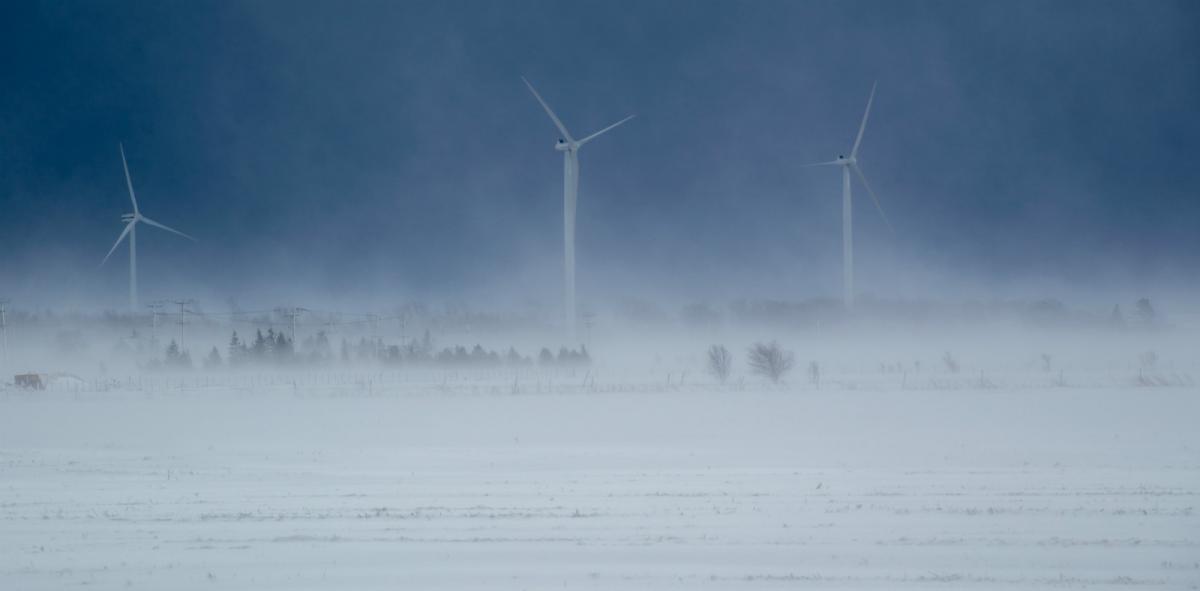
It stays cold today as well, but with lighter winds, it may not feel quite a raw as it did yesterday. There'll be a continuation of the wintry showers - particularly in the north and west. Some of these have been ganging together to bring a covering of snow overnight but will tend to ease back during today. Elsewhere, there'll be lots of sunshine to be had, with just a few showers making it into central and eastern parts.Top temperatures today will be 6-7c in southern England, elsewhere 3-5c.
It's been a bit of a theme this winter, and starting this evening we have another Atlantic weather moving in across the UK, and Ireland, which, when it meets the cold air in situ is going to bring sleet and snow in places. With the rain, sleet and snow, we'll also have some strong, gusty winds - with gales as it all moves through.
Timings wise, the band will turn up into western Ireland early evening, reaching the west of Scotland for midnight. Then by rush hour tomorrow morning, it'll be across a central swathe of Britain, finally clearing the southeast corner tomorrow evening.
Ahead of all that this evening and overnight, there'll be some icy patches and a frost, but temperatures will lift as the cloud spills in. Tomorrow, once the rain, sleet and snow has cleared, the winds will become calmer, but with a few wintry showers moving in. A cold night, with a widespread frost and ice risk, follows. Most places will be dry by this point, but some snow showers will continue to affect the west and north.
Wednesday brings a change though, with mild southwesterly winds and a spell of rain moving in from the west. There'll again be some snow in the mix, but this time it'll be temporary away from the higher peaks, and mostly reserved for the hills in the north of the country.
The milder air won't be with us long though, as colder conditions move back in from the northwest during Thursday, with the showers turning wintry as it does so. That chilly, showery theme will continue into Friday as well, although we'll need to keep an eye to the south as a low pressure system may not be too far away, bringing with it the risk of some wet, windy weather for southern parts.
Beyond that, we're likely to continue with the cool or cold weather into the weekend, some uncertainty over the details though. Then looking further ahead, following the SSW event this weekend, it may be the second half of February sees even colder weather.