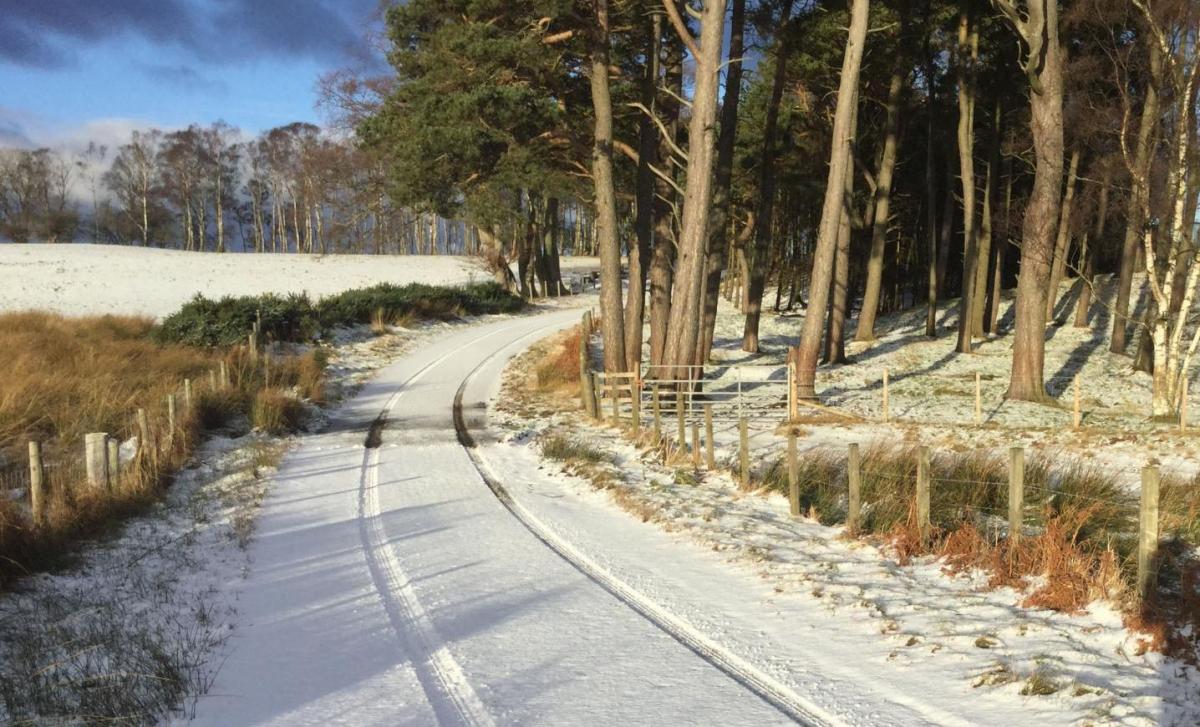
Cold weather will be with us throughout the next week.
We're about to head into a cold spell of weather, with the risk of some snow at times along with some widespread frosts and raw feeling days during next week.
Saturday is going to be a mixed bag, with a weather front moving across the country from the west. It's bumping into some already quite cold air, so it'll turn to snow in places - especially up over the high ground. It'll already have made it through western parts overnight, so it'll be sitting across central parts first thing, gradually heading further east, and breaking up and stalling as the day wears on.
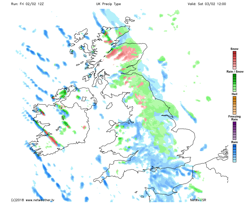 Behind the front, there'll be some bright spells but also some blustery wintry showers in a cold feeling north to northwest wind. Ahead of it, lots of cloud, but lighter winds. The front may struggle to make it as far as East Anglia, and the southeast as easterly winds take hold down the eastern half of the country, so barring a few showers, a mostly dry day here.
Sunday will be a very different day to Saturday with lots of sunshine for the majority. There'll be a cold east to northeast wind blowing across much of England and Wales, with a northerly in Scotland and across much of Ireland. Temperatures will be tempered by the wind, but will typically peak at 3-6c. A few wintry showers are also possible in the southeast in particular.
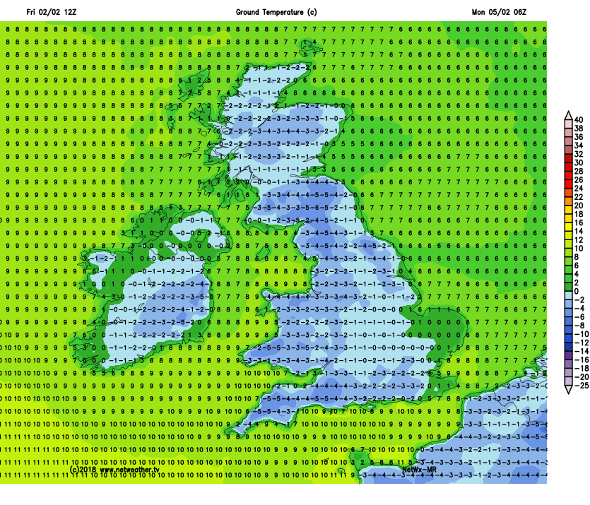 After a hard, widespread frost overnight, Monday follows suit, with more sunny spells, but also some further wintry showers drifting in from the east. A change does arrive later in the day, in the form of a front bringing a spell of rain, sleet and snow down from the northwest. That's going to still be with us into Tuesday, although there's some uncertainty over how far southeast it'll get before fading away.
Away from all that, there'll be another frost overnight into Tuesday. Once the rain, sleet and snow band has cleared, we'll be back to spells of sunshine and some wintry showers in places. Another front turns up Thursday though, with a similar plan to move northwest to southeast.
If you want a more detailed look at the reasons for the change to this much colder pattern, take a look at Nick's latest blog - it's a really interesting, in-depth read.