A cold, frosty bonfire night on the way tonight. The upcoming week will be mixed, with some wind and rain at times, but also some sunnier drier gaps in between.
It's a chilly start this morning, but it's tonight and tomorrow morning when the brass monkeys will be coming out to play, as temperatures will widely dip away below freezing. So, gritters, virtually countrywide, will be having a busy night and for the second Monday in a row, you'll likely be scraping ice off of the car.
Today, despite the chill feel, there'll be plenty of sunshine around. There are quite a few showers in western and northern regions this morning, but they will tend to die away during the day, leaving just a few close to coasts (including the east coast at this point) into the evening.
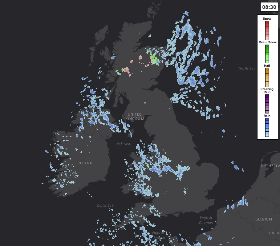 Keep up to date with the latest radar here.
Temperatures today will peak at around 8-11c across much of England, Wales and Northern Ireland. A couple of degrees lower than that in Scotland, where the showers will continue to fall as sleet and snow over the high ground.
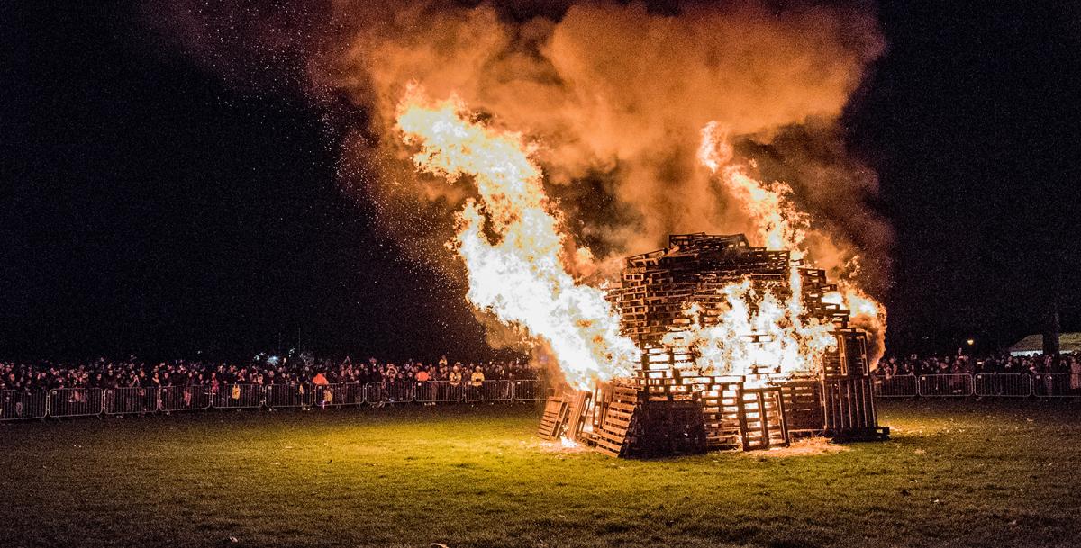
Into this evening, if you're headed out for a bonfire night party or fireworks display, layer up. It's going to cool down quickly once the sun goes down, with mostly clear skies across the country. Close to coasts, there is still the risk of a shower or two, but they'll be the exception to the rule.
By dawn, extra cloud and a freshening south to southwest wind will have arrived into western parts, so that'll tend to lift temperatures here. But elsewhere, there'll be a widespread ground and air frost.
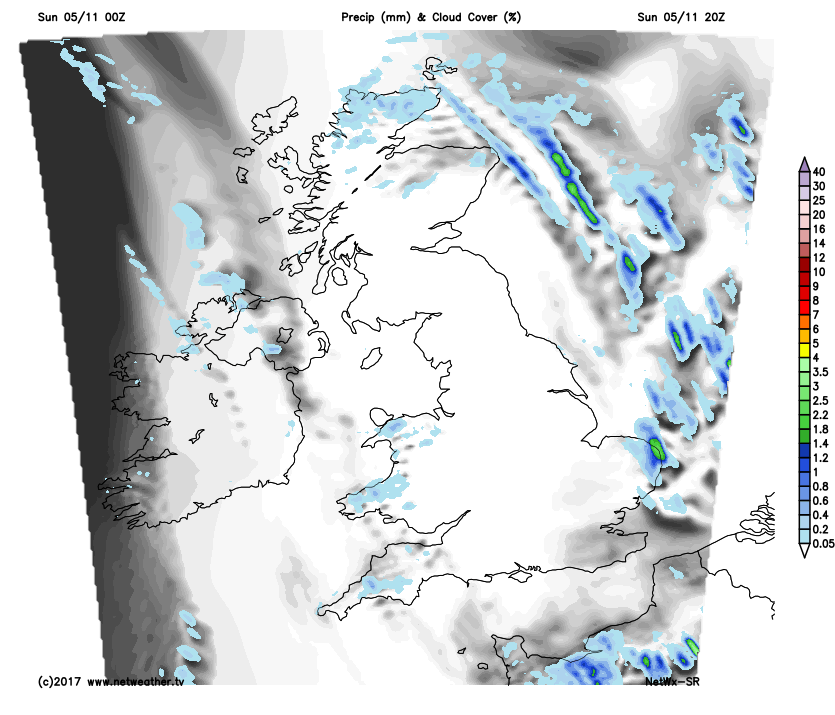
During Monday, that cloud in the west will carry on moving inland, and thickening all the while. There'll be some showery rain affecting western regions by the afternoon, and earlier than this across Northwest Scotland and Northern Ireland. Elsewhere, it's another dry, bright but cool feeling day with temperatures struggling to recover, after the cold start.
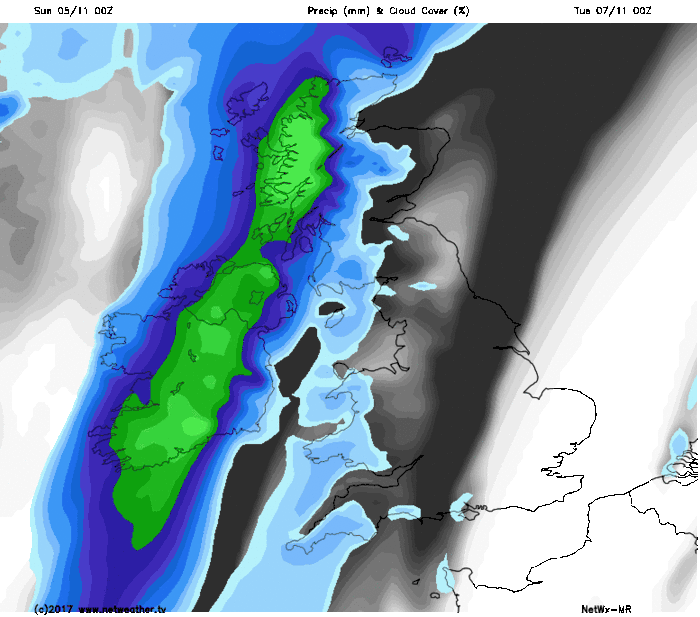
Into the evening and overnight, wind will increase, with gales in exposed parts of the northwest. The rain will also gather itself before making a move southeast. There'll be some heavy rain for a time across Ireland and western Scotland before the wet weather moves through to other parts of Scotland, then down into England and Wales into Tuesday. It'll have made its way down into the southeast of England and East Anglia by evening, where it may well stick, hanging around well into Wednesday.
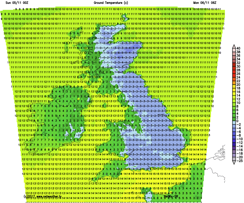
Ahead of the rain, there may well be another frost in the southeast on Monday night. Elsewhere, it'll be a milder night. Behind the rain, it will turn colder again though, with a fairly widespread frost likely on Tuesday night.
Wednesday then starts dry, cold and sunny across the bulk of the country. The far southeast and East Anglia may be stuck with the rain a little longer, and the far northwest will see some more rain and wind arrive during the day too. In between though, it's another fine late Autumn day.
Thursday sees that less settled weather spreading further southeast. The rain itself, having been heavy at times in the northwest, will fade as it moves southeast, to become much more showery and often light. Winds will also be quite blustery, especially across the northern half of the UK and Ireland. Into the latter part of the week, and the weekend the pattern of fairly frequent bouts of wind and rain moving down from the northwest becomes established. So it'll be northwestern parts seeing the most frequent effects of that, with those further southeast enjoying more regular quieter, sunnier spells.