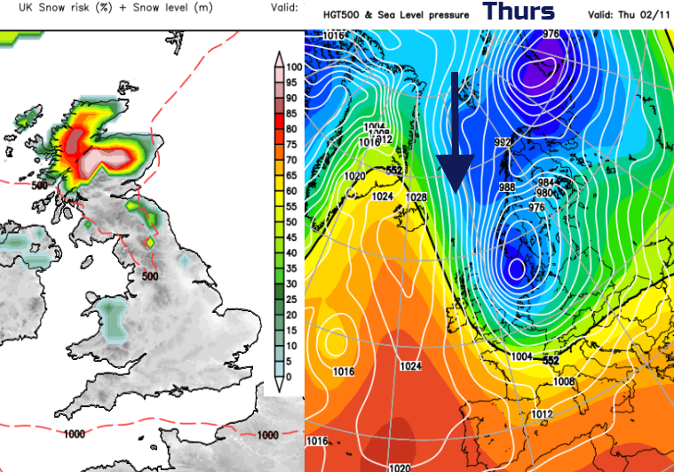
More warmth in the south mid week before flow from the north brings a wintry chill and the risk of frost for the weekend and next week
The warmth and mild feel to things continues today. We saw 20C yesterday in the SE and although it feels less warm in the north temperatures could stay in the high teens today and tomorrow in the south. It will turn cooler for the end of the week, and it could be noticeably colder by the time you head off to work or school next Monday. Any signs of snow then? Well, if there is a screaming northerly at some point next week, you wouldn’t go against the Scottish mountains getting their first covering of this season. Cairngorm and the Grampians look most prone in the far NE with a low over Scandinavia and a high out west. Frost looks more likely, some fog too and there will be a cold wind.
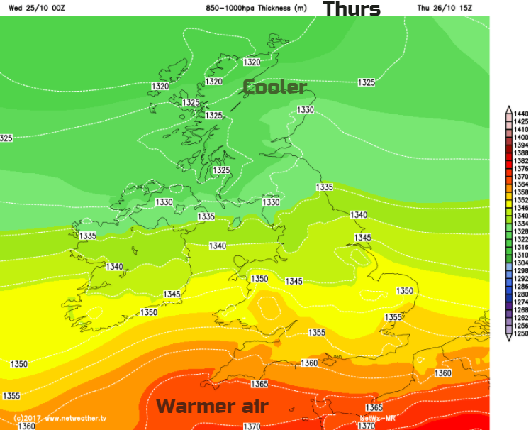
Through the next few days, we see synoptic see-sawing as this Atlantic High and the Low over Scandinavia establish themselves. The warm SW wind veers to the west and then the cooler NW by Friday. Southern areas have very light winds and so run the risk of fog forming, whereas it will be windy further north.
Yesterday’s rain has pushed away to the south, with a band of cloud showing the lurking front. Much of the UK is bright with sunny spells and feeling a bit fresher. There are still blustery showers coming into the west and far north of Scotland. The north-western half of the UK will stay around 12 to 15C with a brisk SW wind for Scotland. The south-eastern half of the UK will be around 15 to 18C, maybe up to 20C.
Later in the day the front away to the south will begin to wave back in from Cornwall and Devon. It will bring more cloud and light rain, with murky conditions around the coasts. Behind this, a bit more warmth.
The frontal band should move up through England and Wales bringing more cloud, some patchy light rain, mainly for coasts and hills. There could be fog for Thursday morning. Where breaks appear over southern Britain, after the murky start, the temperatures will nip up. Ahead of the front, it will feel fresher with a brisk wind. As the front waves north and then back south during Thursday there is some uncertainty about the timing and positions of this band of thicker cloud and dampness, so be aware of that if looking at a Weather app’s symbols.
By Thursday night, cooler air will be flowing in from the north, thanks to NW winds around the top of the building high pressure. Friday morning will be nippy for all but maybe the southern counties of England. The high over the UK will result in fine, settled weather, still a bit of warmth in the far south for a time before the northerly flow reached right down through Britain. Strong winds and gales will affect the far north of Scotland with rain over Shetland.
For the weekend there will be that chilly wind from the north. It will bring some showers down in the flow, but for most, there will be a lot of bright weather about, it will just feel cold.
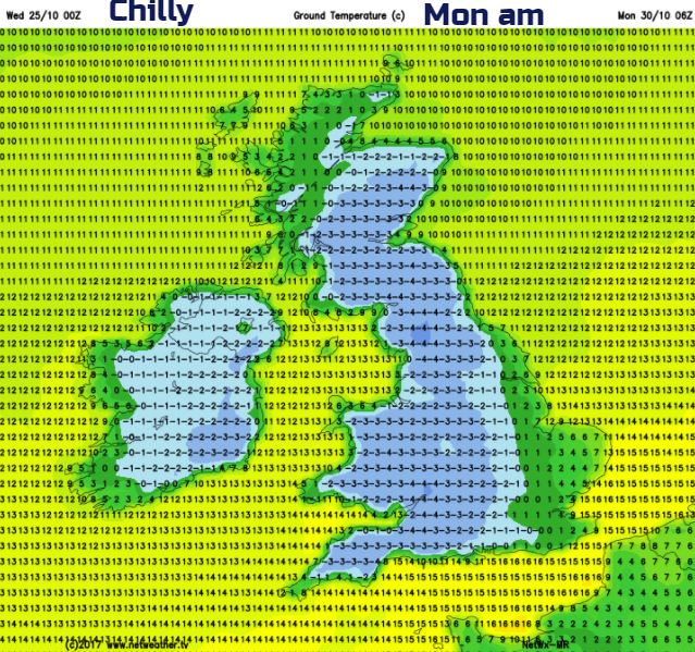
So for Halloween and the start of November, it is looking much colder, like it should be for late autumn. No forecast for widespread snow yet. The bookies are being stingy with the odds for a white Christmas this year. Starting Edinburgh 2/1 and London Heathrow 6/1. Used to get 10/1 this early in the game, no reflection of any forecasts, it is too early.