The last of the overnight rain will clear the south this morning to leave sunny spells, some showers and a chill wind today. Rain then moves into the NW on Friday, spreading to all parts into Saturday.
A narrow band of moderate or heavy rain accompanied by strong winds moving across southern England will soon clear the South coast, as a small but vigorous depression, quickly heads away onto the nearby continent.
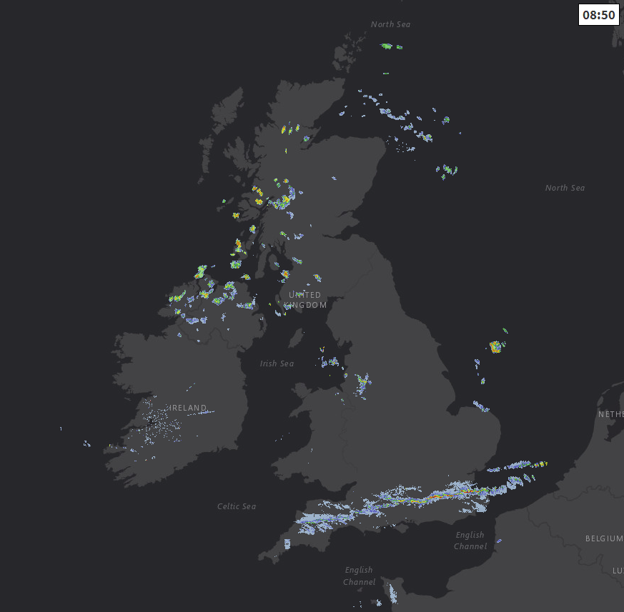
In its wake, most parts today will see good sunny periods, but there'll also be a few showers. Most prone to these will be the North and exposed coasts of Scotland and Northern Ireland, together with parts of West Scotland, Cumbria and Norfolk at first. A few may also penetrate the 'Cheshire Gap' to affect parts of the West Midlands, but any showers elsewhere will be quickly passing fleeting affairs, in a mainly dry often quite sunny day.
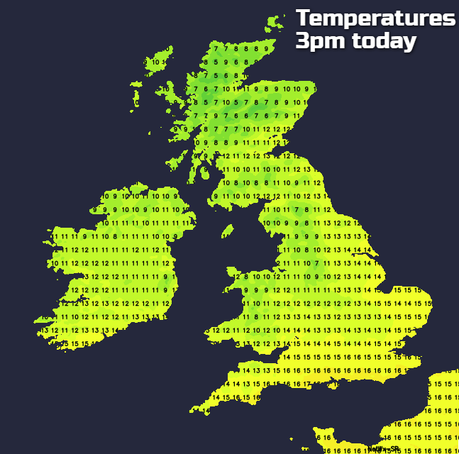
A blustery West or North West wind will steadily decrease through the day but will feel chilly particularly in any showers. As a result, afternoon temperatures will be no higher than 10 to 13C in the North and 14 to 16C locally 17C in the South.
Any remaining showers will become confined to coasts exposed to the North Westerly wind during the evening, with the odd one still perhaps affecting Liverpool Bay and Cheshire. For much of the country though it'll be a dry night and as winds become mostly light and skies clear, it'll turn quite cold. There'll be a grass frost in prone rural areas and perhaps a touch of air frost in some Scottish glens by dawn. Here temperatures will fall close to freezing, but 2 to 5C in rural areas and 6 to 9C in towns and cities will be a more general minimum.
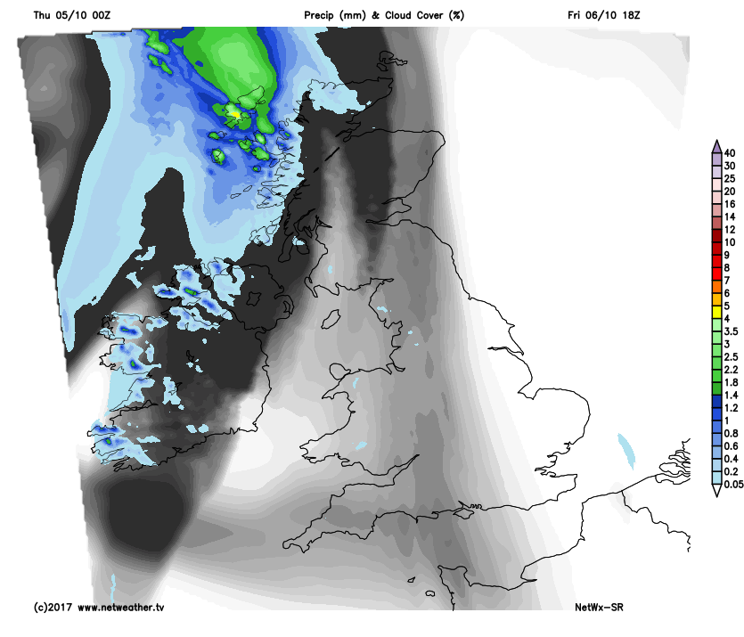
After a chilly start, Friday begins fine, dry and sunny especially in central and eastern areas. Northern Ireland, however, will be turning cloudy from the West through the morning, with patchy rain moving in by the afternoon, this perhaps spreading to the Western Isles and the far West of Scotland towards evening. Elsewhere it'll remain mostly dry and fine, but with some increase in cloud particularly in the West through the afternoon.
A light Westerly breeze at first will 'back' South West and increase across Northern Ireland and West Scotland to become strong in exposed areas later. This'll continue to feel chilly, with top temperatures mostly in the range 11 to 15C.
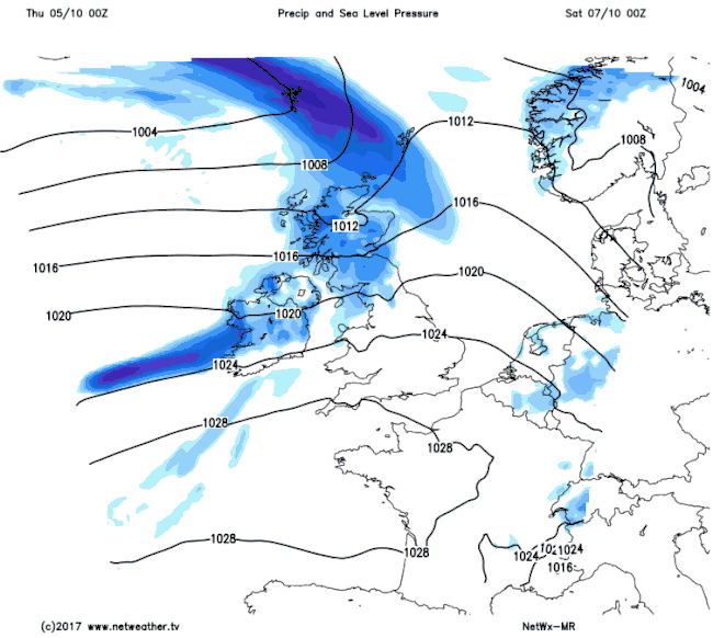
The East, South and central parts should continue to see broken skies after dark, but cloud amounts will vary. Across Northern Ireland, the North and West of Scotland, North West England and West Wales there'll be some rain overnight, and while heavier bursts are expected, much of it should be light and patchy with most other parts staying dry. A mostly moderate South West wind will be fresh or strong across Northern Ireland and the North and West of Scotland, where gales are likely over exposed coasts and hills. Although not feeling so it'll be a milder night, with temperatures not falling 6 to 10C.
In a mixed weekend, most places see some rain or showers, but there'll be dry, brighter intervals as well. As we enter the working week there'll mostly be a North/South split, with the best of the weather in the South where a brief somewhat finer, warmer interval is possible.
Towards next weekend, however, it may be turning more generally unsettled from the West.