A dry, quiet day for many today but low pressure systems are starting to stack up in the Atlantic, ready to move our way.
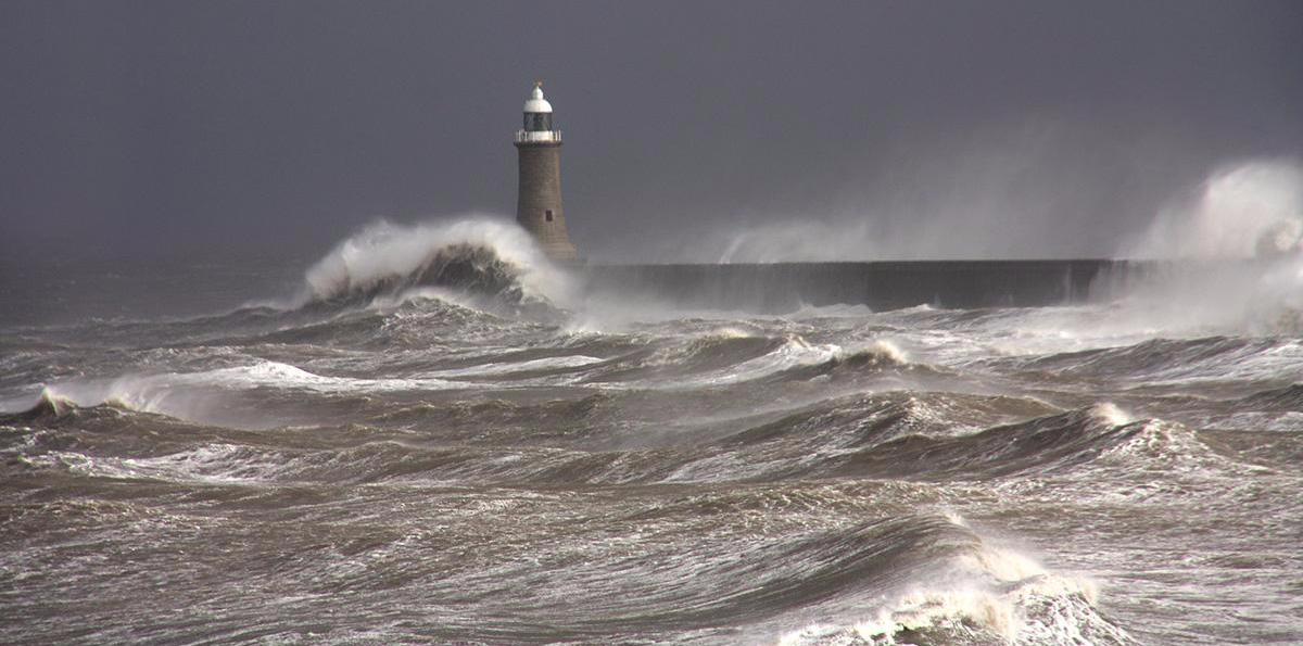
We're into a lull, for the time being, as the overnight rain has passed through, leaving a dry, bright day for many of us. But an Atlantic low is waiting in the wings to bring a glancing blow during today, with the next band of rain also joining it later. Then later in the weekend and early next week, more trouble looms - not quite the 'double hurricane hell' portrayed in certain tabloids, but it'll become wet and potentially very windy in places for a time.
Here's the air pressure animation for the next few days:
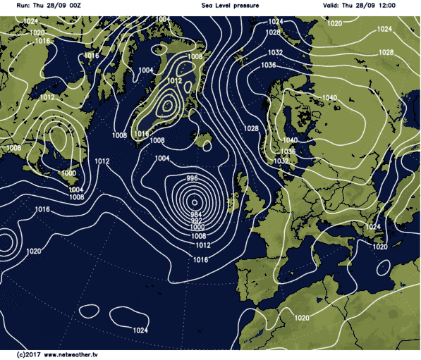
As you can see, there's plenty going on, and yes, there are the remnants of hurricanes Lee and Maria in the mix toward the end of the weekend and early next week. There is a lot of uncertainty in terms of the track and intensity of the lows at this point though, so what you see above is likely to change.
Back to the beginning though, and as for the most part we're between systems today, it's set fair for the majority. We have a little bit of rain lingering in the far east of England which may take it's time to clear off. And we have the beginnings of the next batch of wind and rain creeping into the west of Ireland, but in between, it's a case of sunny spells and light winds.
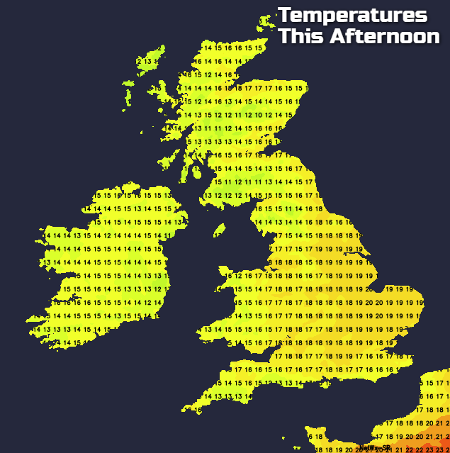
It'll be another warm day, with highs widely up into the high teens, maybe even low twenties in one or two spots. Cooler for Ireland and the western fringes of Britain though.
With low pressure nearing, the west of Ireland and later northwest Scotland will see strong winds, even gales developing in exposed parts. And western Britain generally will also see the wind becoming more of a feature during today. Rain will also cross into Ireland this afternoon, clearing not too long after midnight, then continuing east to be over eastern Scotland, along with central and eastern England by morning.
The rain will clear the southeast corner by early afternoon on Friday, leaving the whole of the UK and Ireland in a similar fresher, showery boat. The majority of the showers will be in western parts, with some on the heavy side, especially later on in the day. Further east, there'll be fewer showers and more in the way of sunny spells. It'll be a breezy day, cooler in most parts than today too, although the southeast quarter of the country will still make it up into the high teens.
The weekend will start similarly, although there may be fewer showers on Saturday away from western and southern parts. It'll still be breezy, with winds increasing in the west and south during the day, a sign of things to come.
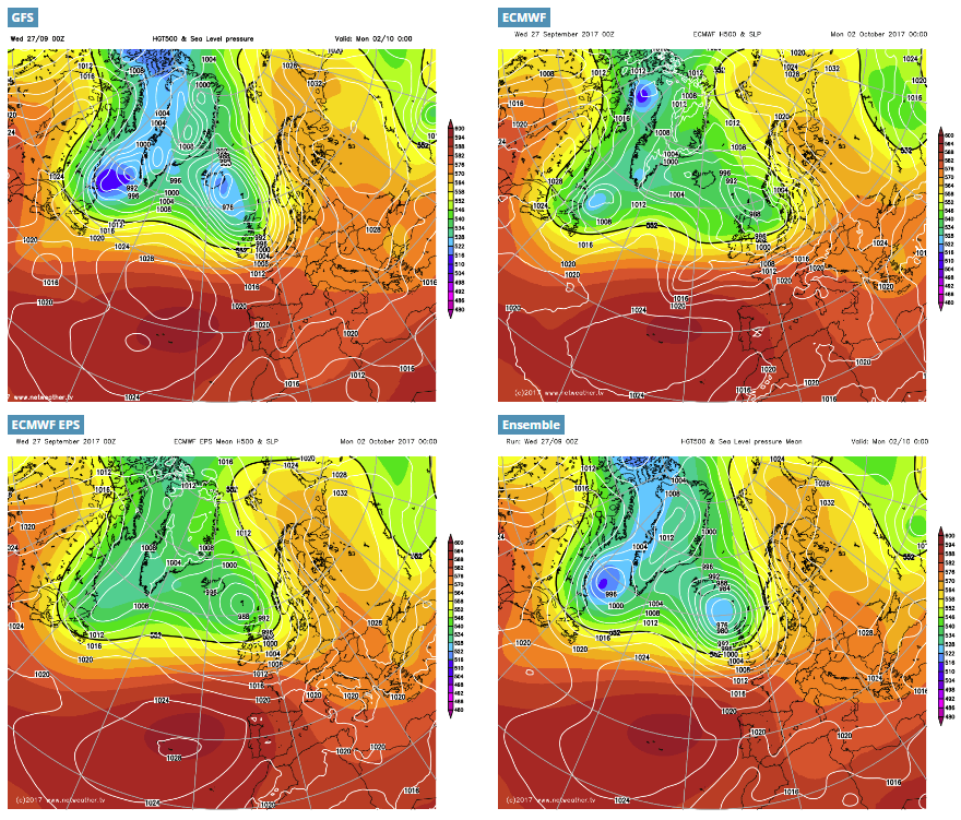
By Sunday, low pressure will be on the scene, so expect spells of rain, showers and strong winds at times to take us all the way through into the first part of next week. Detail at this point is tricky though, as the models have yet to nail down how it's likely to play out. The model comparison maps below show variations on a similar theme, but each with quite different outcomes on the ground.
Beyond the start of next week, it does look like the southern half of the country (at least) will settle down for a time, as high pressure ridges in. Keep an eye out for updates on all of this over the next few days.