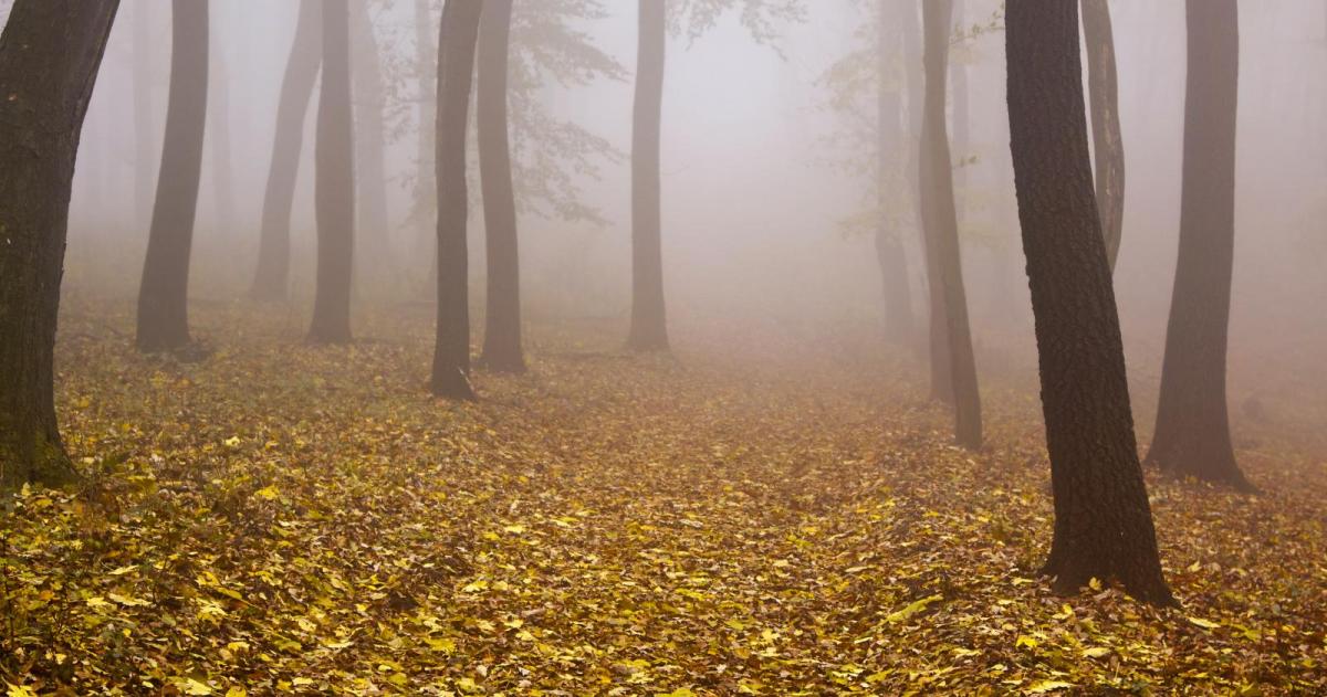
It's that time of year, nippy nights, clear skies and light winds results in foggy mornings. Poor visibility on the roads and at the airports, but is it fog or mist?
It’s that time of year when overnight temperatures are dipping away, and if the skies are clear, winds are light, and when there is moisture in the air, things turn murky.
This is radiation fog; it forms in situ. It is just suspended water droplets forming in the air near the surface, reducing the visibility.
Other types of fog are available:
Advection fog - where murk is moved in by a breeze, advecting the suspended water droplets from one place to another. Like the sea fret and haar of the east coasts and sea fog along the English Channel.
Valley fog – where pockets of low cloud sit in valleys or glens, mainly in winter. As other areas see their early morning fog burn away, this valley fog can stick around all day. This is often visible on satellite pictures, especially in the Vale of York.
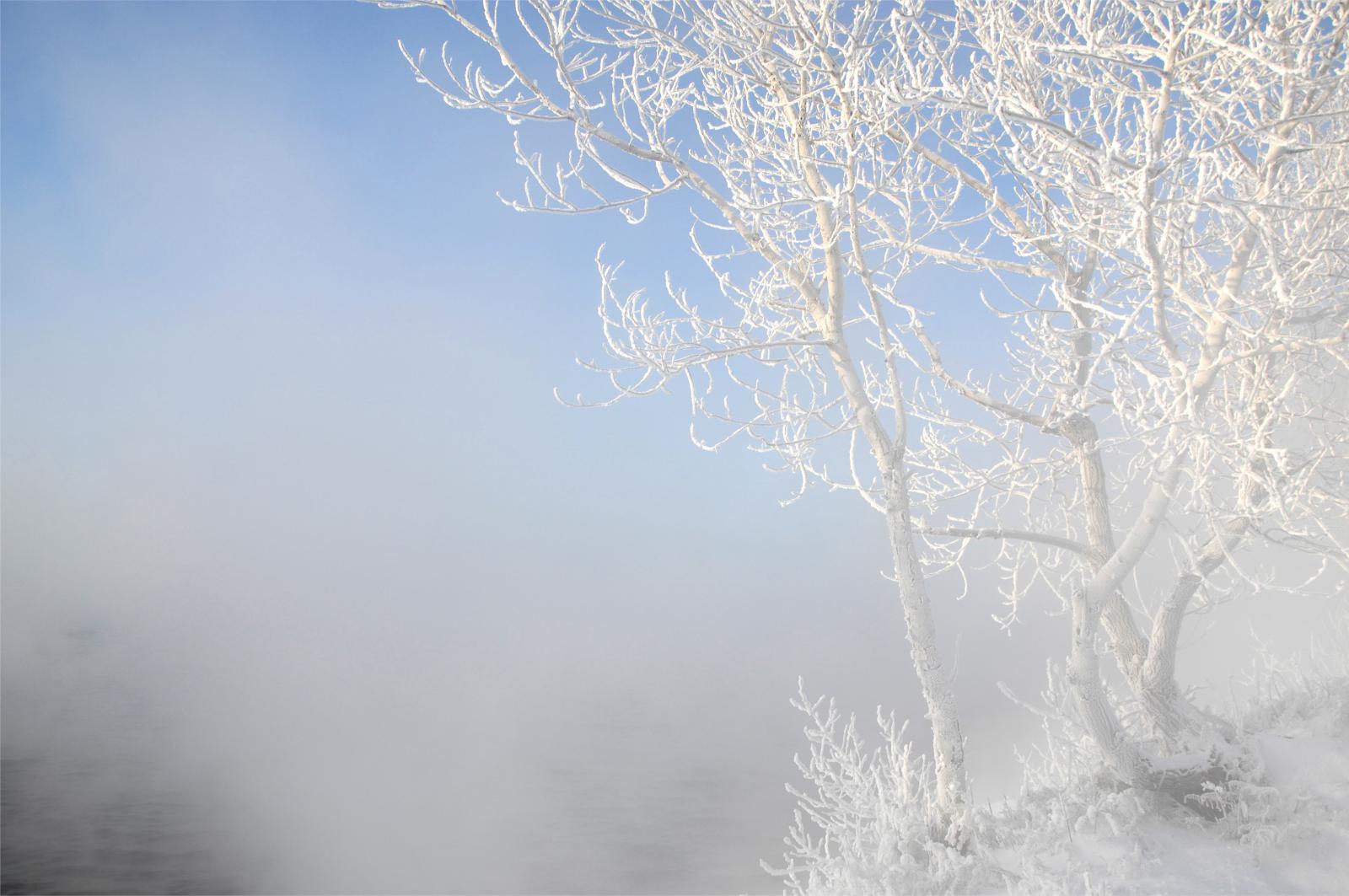
There is also upslope or hill fog, evaporation fog and the horrible freezing fog, where a rime forms on exposed surfaces and black ice can form. This hazardous winter fog results in travel conditions becoming dangerous.
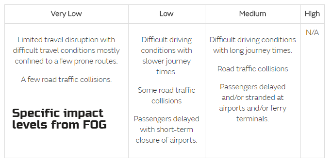
The main issue with any fog is reduced visibility. As the mornings and evenings get darker, having to contend with poor visibility as well leads to problems on the roads and at airports.
Aviation Fog - By international agreement, fog is the name given to resulting visibility less than 1 km,
However, the term in forecasts for the public, this generally relates to visibility less than 200 m. The definition of fog is visibility of less than 1 kilometre (3,300 ft), and the relative humidity is close to 100%. Mist is visibility of between 1 km and 2 km with a relative humidity of at least 95% and Haze from 2 km to 5 km, which can relate to smoke, dust or pollution in the air. So, mist is just less dense fog, and both are just clouds on the ground.
Fog isn't uniform; it can be defined as shallow, patchy or dense. Not one for the UK but there is also Ice Fog, where tiny ice particles are suspended in the air rather than water. This only occurs with temperatures below -30C. There are various observation types to be recorded. Fog getting thicker, thinner, no change in the last hour, freezing fog, sky visible, continuous or in patches. In meteorological observations, the present weather symbols show 2 horizontal lines for mist, 3 lines for fog.
When we have a clear night, without the blanket of cloud, any daytime warmth soon radiates off into the atmosphere. In autumn, with less daylight heating the earth and cooler air, this loss of thermal energy means that the air close to the surface dips in temperature significantly. This dip reduces the ability of the air to hold moisture, allowing condensation and then fog to occur. This point of condensation, this temperature, is called the fog point and can be used to forecast what time the fog should form.
If it forms just before dawn, near the time of minimum temperature, then the fog may be quite patchy. If it forms in the evening, it could be quite widespread and last well into the next morning.
For planes waiting to take off at the London airports on a foggy autumn morning, the time that fog will clear is also important. If you are stuck at Heathrow or London City waiting for the fog to clear, here is what to look for.
December and January are the months when fog is most likely to persist all day. Earlier in autumn the fog generally forms late in the night and is gone quite quickly in the morning, soon after sunrise.
And for all those who are still driving about with their fog lights on, annoying other motorists; do remember Rule 236 of the Highway Code.
You MUST NOT use front or rear fog lights unless visibility is seriously reduced as they dazzle other road users and can obscure your brake lights. You MUST switch them off when visibility improves.