Unsettled, generally mild weather will prevail during the weekend and through into next week across the UK.
After a rather cold first half of March in most parts of the UK, with snow for some, warmer air masses pushed in from the south-west last week. Westerly and south-westerly winds look set to prevail during the coming week, bringing unsettled weather with temperatures near or above the seasonal average.
However, the Arctic northerlies that we saw earlier in the month will never be far away to the north of the British Isles, and forecast models are increasingly suggesting a likelihood of another northerly outbreak or two towards the end of March, most likely towards the 27th. Longer-term signals suggest that cold and dry weather may set in into early April with potential for frosts, so farmers and gardeners should be wary of planting flowers and crops that are susceptible to damage from late frosts.
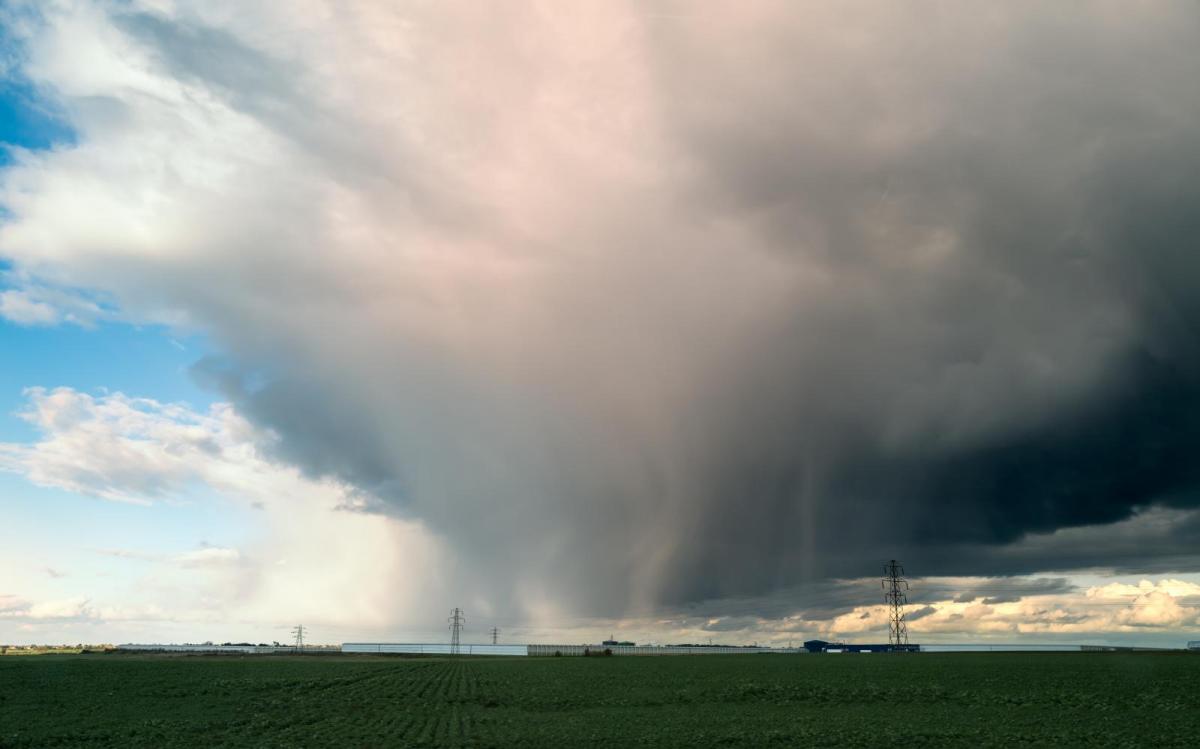
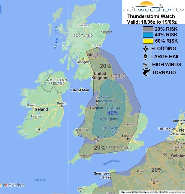
Thunderstorms were observed locally yesterday, and there is more potential for isolated thunderstorms today. All of this reflects the varied nature of spring weather in the UK. Winter commonly transitions into summer erratically and in fits and bursts, and cold snowy reminders of winter are not uncommon, but so are warm spells with sunshine and/or thundery showers, which are more often associated with summer.
Much of the country has got off to a cloudy start today with some rain or showers in places, with persistent rain in north-west Scotland and south-east England. The rain in north-west Scotland will persist for most of the day, and a further band of rain will move eastwards through Northern Ireland and into the west and south-west of Scotland, clearing Northern Ireland during the afternoon. The rain in south-east England will spread into East Anglia and also clear away during the afternoon.
Elsewhere, some sunny intervals will come through in most parts of the country, and the sunshine will set off some scattered showers which have the potential to become locally heavy and thundery, particularly in central southern England, the Midlands, Lincolnshire and Yorkshire.
The weather will generally turn dry and sunny in Northern Ireland. Temperatures will again be above average for the time of year but generally a degree or two down on yesterday's, reaching 12 to 14C in most parts of England and east Wales and 10 to 12C in most parts of Scotland and west Wales. It will be cooler in western Scotland and Northern Ireland, with highs generally between 7 and 9C.
A band of showery rain will spread eastwards across England and Wales tonight, but otherwise, it will tend to become dry with some clear spells. Most areas will see temperatures stay above freezing, with lows typically around 6 to 8C in the south-east, and around 2 to 4C in most other parts of the country, resulting in a slight frost in some places, particularly in prone frost hollows.
England, Wales and Scotland will have a dry and sunny morning tomorrow, but it will already be clouding over from the west in Northern Ireland. During the afternoon and evening, we can expect it to cloud over from the west in most parts of the country, with rain spreading into the west of Wales and Scotland by evening. In the dry sunny weather to the east of the cloud and rain, it will again be quite warm for the time of year, with highs of 12 or 13C widespread.
Next week will generally be unsettled with rain or showers and temperatures continuing above the seasonal average but not exceptionally so, sometimes near average by day in areas that are affected by bands of persistent rain. Monday looks like being wet in many parts of the UK, especially in the north and west, but with some dry, bright interludes in central and eastern England. Tuesday and Wednesday look set to be predominantly bright and showery, but a further band of rain will spread from west to east late on Tuesday and overnight into early Wednesday.
This generally unsettled regime will continue through to next weekend, giving some relief from the issues with drought in many parts of the country. Still, as noted earlier, there are signs that colder, drier weather may return towards the end of March.