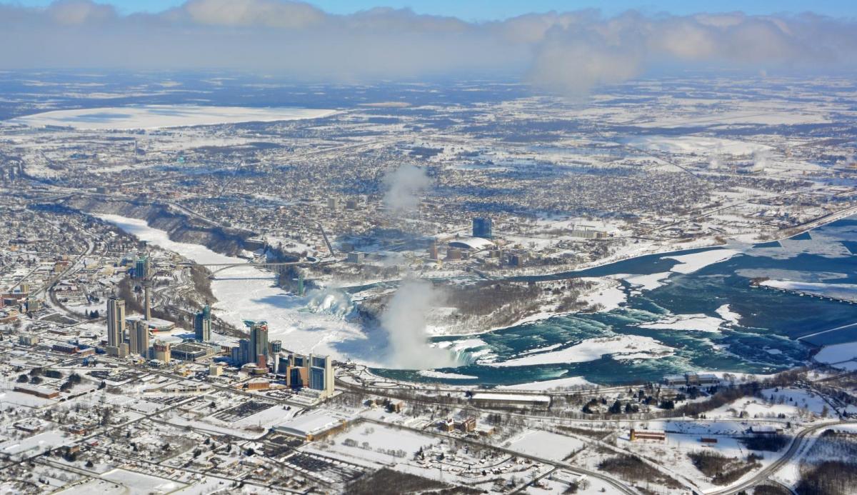
Upstate New York saw historic snowfall due to the annual Lake Effect snowfalls. Buffalo, by Lake Erie and Jefferson County, by Lake Ontario were covered in mid-November, but these areas can cope.
The mid-November 'Lake Effect' snow event has produced huge amounts of snow. 80” (6 foot 8”) at the eastern end of Lake Erie over a few days. This part of the world can cope with winter storms and annual dumps of snow caused by being downwind of the Great Lakes, but this was quite something.
The significant and prolonged snow affected many people and activities over the five days. American football games wouldn’t usually be cancelled so instead, there was a change of venue for the Buffalo Bills. Not only was the stadium full of snow but there were driving bans in the metropolitan area of Buffalo and continuing dangerous conditions.
“Due to public safety concerns and out of an abundance of caution in light of the ongoing weather emergency in western New York, Sunday's game against the Browns will be moved to Ford Field in Detroit. Buffalo Bills."
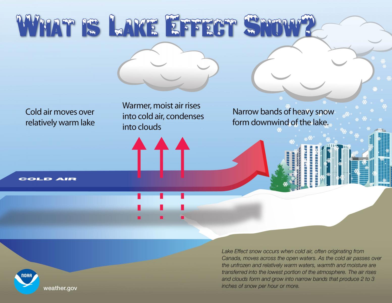
The huge snowfalls were well forecast but these setups rely on wind flows off the lake which will dump large totals over one particular area and relatively little to the north or south. The Great Lakes are currently a few degrees warmer than average this year. The change to cold weather across Northern America only just occurred in mid-November. The ingredients needed are humidity, to allow the lake-enhanced precipitation to form. Cold air for snow to form rather than rain and a warm lake surface (warm relative to the air moving over it.).
The waters around the UK this week vary from the cold North Sea at 10C, to the milder Channels in the south and west at 13/14C so similar to the eastern end of Lake Erie, close to Buffalo.
In a brisk westerly wind, the cold air from Canada has a long track across the lake waters and sets up convection and cumuliform clouds form. As all of this reaches the far shore, there will be lift over the land and buildings and the snow starts to fall. Usually, these events can produce 2” to 3” of snow per hour. This one saw 5”s of snow falling in an hour at times. It was the first significant snow of the season for south Ontario, so quite a change.
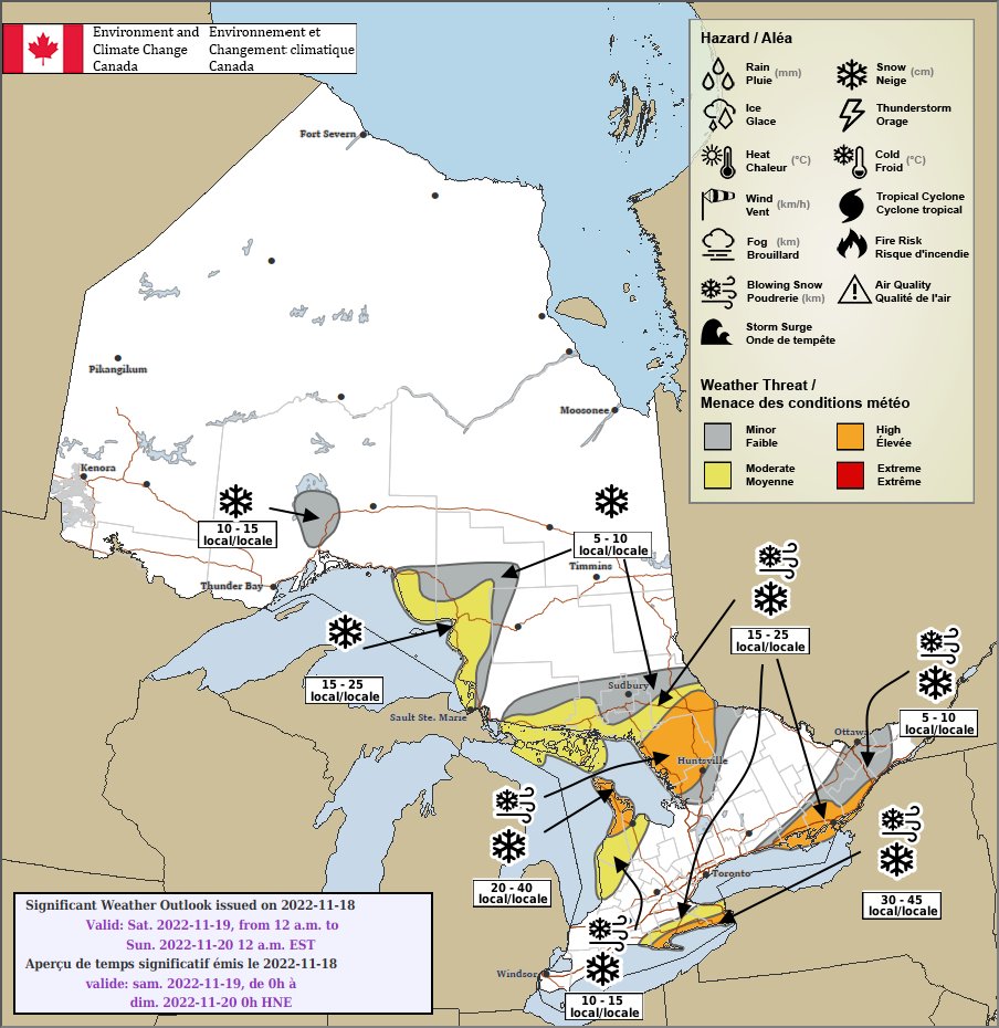
Nov. 17, 2022 [7pm] - Nov. 19, 2022 [11am], local time.
The heavy snow can just be pushed onward, streaming across the same town or city and beyond. The areas affected then depend on subtle changes in wind direction and this occurred. Both Lake Erie and Lake Ontario were producing large snowfall totals which fell on upstate New York.
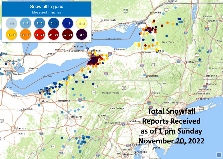
80” Orchard Park (home of Buffalo Bills) at the eastern end of Lake Erie, not far from Niagara Falls.
76” for Athol Bridge, Erie County south of Buffalo.
72.3” for Natural Bridge at the eastern end of Lake Ontario towards the Northeast region of the US.
Along with the streamer feeds of snow, there were heavier bands running almost north-south but sweeping eastwards. A bit like our troughs, even line convection where sudden torrential rain arrives. These snow squalls affected wider areas with intense, heavy snowfall, gusty winds and near-zero visibility
After the main snowfall on Thursday and Friday which included thundersnow for added dramatics, there was another round for the weekend. There was a noticeable wind chill, blowing and drifting snow and also power outages. At least two people died due to cardiac-related events clearing deep snow and travel remained dangerous. Five buildings collapsed and people had to be rescued as power outages occurred.
The National Weather Service in the US (NWS) said that 21.5” of snow on Saturday 19th was a region-wide record for the 24-hour period. There might be a statewide record to be confirmed for New York.
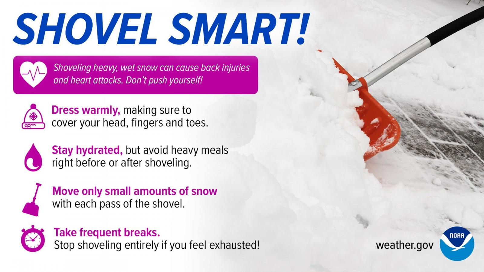
2014 was another memorable Lake Effect snow event, with the month being called ‘Snowvember’. This 2022 snow was very powdery and easy to clear but did drift in the strong westerly winds. The snow-clearing process is well practised and has a good deal of financial investment. The main routes are soon cleared with snow being taken away in dumper trucks to car parks. It can last for months here, event into spring of the following year by which time it becomes ‘Snirt’ snow mixed with dirt.
For now, social media is full of entertaining or astonishing images and videos of deep deep snow. Dogs and people leaping about, the big reveal behind garage doors or snow depths in feet and inches or beer cans.
By Monday 21st November, the Lake Effect snow event across the Great Lakes was coming to an end. After wind warnings on Monday and a bit of lingering snow, the winds eased and skies cleared, so the temperatures fell. Warmer air from the southwest is forecast and pressure builds this week with the NWS mentioning a “Tranquil Start to the Week; Watching Storm Potential Around Thanksgiving.”
So later this week a low pressure pulls its way out of the northwest and could centre over the Great Lakes but link right down Texas with unsettled weather through the Plains for Thursday (Thanksgiving). After that, it is Black Friday and rain looks possible for much of the Northeast and eastern states which isn’t good news for those shopping in person.
What about our UK snow? The Netweather Winter forecast is out this week. We can get Sea Effect snow here in the UK in a cold easterly flow off the North Sea. Many snow watchers gaze longingly at winter charts in the hope of a streamer from the east. However, westerly winds stay in charge for this week with perhaps a few wintry flurries over the Scottish mountains and highest hills of western Britain midweek. That's about it.
Netweather Community Forum - Historic Lake Effect snow event