


Showery rain and a cool airflow linked to a low pressure in the north or more settled, fair and quite warm weather from a high pressure in the Atlantic. Will one take hold?
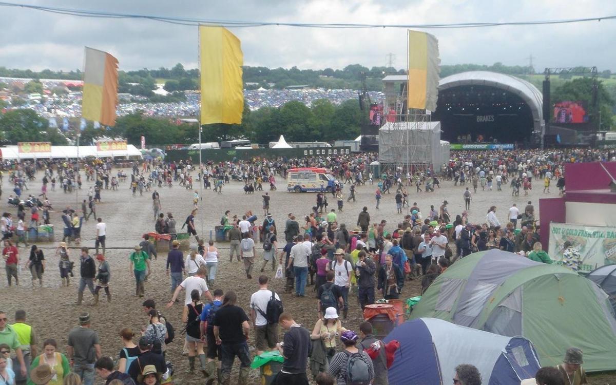
Under a week now until Glastonbury 2022 and as preparations continue onsite there will be a peak in the heat on Friday and then potentially heavy rain at the weekend.
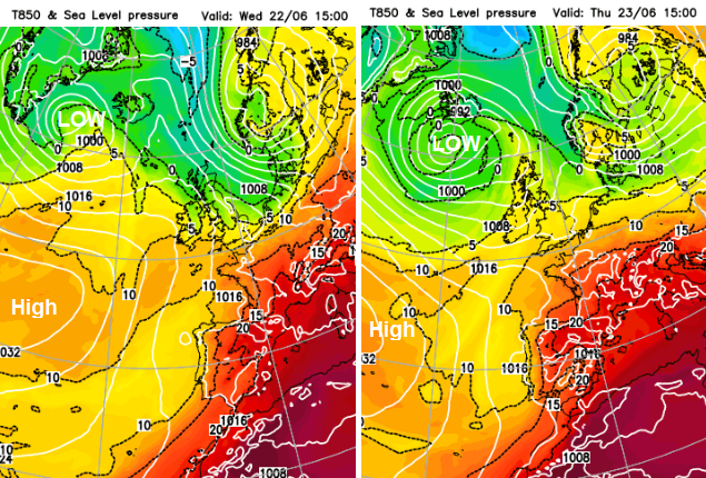
It could start off warm, but not hot, on Wednesday, if a pulse of very warm air manages to push up over southern England into Somerset. Perhaps in the low to mid-20s Celsius on Wednesday. The GFS model waits until Thursday 23rd for a bit of warmth. Generally, temperatures look to be lower at around 17 to 22C, so feeling more comfortable but still with strong sunshine and perhaps a fresher feel to Saturday night.
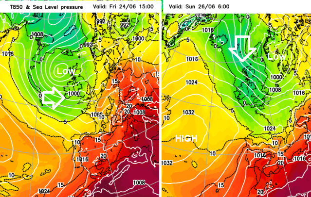
There is some rain in the forecast of course. The forecast includes a balancing ground with high pressure away to the southwest trying to build in towards SW Britain and a low pressure to the north of Britain which will steer the air flow and a feed of showers This will include blustery downpours that darken the sky, bring a spell of rain and then move away, so back to brightness but also perhaps a longer spell of rain during Friday night. The ECM model is showing a small low pressure developing over Britain by Friday evening which will bring showery rain throughout the night, but should clear on Saturday morning.
 The GFS model shows the low to the NW almost winning out against the Azores high
If the high pressure moves in more through next week there will be more fine, settled weather, fewer showers and it won’t feel as cool after dark at the weekend. However, if the low pressure remains more dominant, the weather will stay a bit more unsettled. So blustery winds from the north-west then west which could carry a few showers to Worthy. A bit more cloud about but still plenty of fair, bright weather with good sunny spells.
 Looking cooler by night into the weekend
As the low edges towards the North Sea, it could draw down fresher air from the north. Without the sunshine, evenings and overnight will then feel cooler.
The weather shouldn't be an issue as people travel to Glastonbury but the train strikes now look inevitable. Tues 21st, Thurs 23rd and Sat 25th June, a very limited rail service. And on Wednesday, Friday and Sunday about 60% of the service will run, starting later than usual. We'll just need to watch to see if the warmth does pulse up on Wednesday (not at the same level as this Friday) and if the Friday 24th evening rain looks heavy as people finish work and start off.
Packing options currently include sunhat, sunscreen and shades but also your wellies and a jumper. The forecast needs to settle down a bit to show which side of this balancing act might win out.
You can start to get in the mood this weekend from your own home with BBC Two’s “Glastonbury: 50 years and counting” on Sunday 19th. Next update on Sunday - meantime you can stay up to date with the latest forecast for Worthy Farm.
Top photo: Vintagekits at English Wikipedia, CC BY-SA 3.0, via Wikimedia Commons.


