HIgh pressure is edging over the UK and will remain until Saturday. Settled and dry for most, warm in the sunshine but still cool under the stubborn cloud and frost by night.
The upcoming bank holiday weekend looks fairly dry, particularly to start with and possibly remaining so for the south and east. Nothing too high with the UK temperatures is forecast, we’re still caught in the cool flow from the north although high pressure over the UK means very light winds. However, in any sunny spells, it will still feel warm with that April/May sunshine and calm conditions. The colder air flow means we continue to see some nippy nights. Highland Scotland was down to -6C last night and elsewhere has seen temperatures fall well down into single figures with a touch of frost on the grass.
So, the weekend weather looks fair, often dry, not hot and not a washout although rain from the northwest in the second half of the long weekend could dampen things. Some uncertainty here. And yet that doesn’t fit with certain newspapers need to have a Bank Holiday weather story. The Evening Standard has gone with snow. Watch out for that flake at the top of Cairngorm. The Express is also going with an Artic plunge or freeze and -7C. Nearer the overnight temperature in Highland Scotland rather than representing the UK by day.
May can vary wildly, being hot and sunny with temperatures well into the 20sC but can bring cold weather and frost by night. You can probably remember May bank holiday weekends with both types of weather. It’s a chance to get outside if you do have some time off work and there is more daylight now, warmth in the sun’s rays and a hint in the air that summer is on the way.
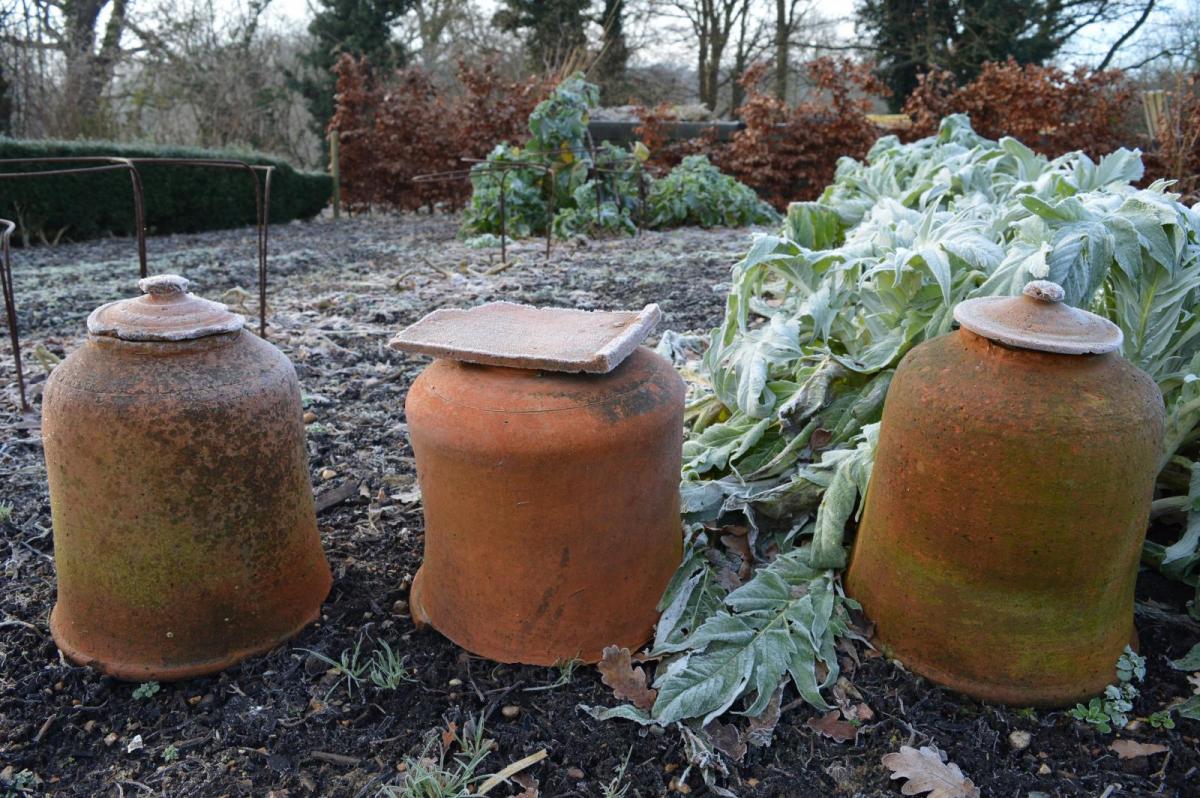
It has been dry for a fair while now and there are concerns about the risk of fire. Organisations and Fire & Rescue teams are highlighting their wildfire/BBQ safety campaigns this week before people head to the countryside.

High pressure has slipped over Scotland and will remain right over the UK until early Saturday. This brings more dry weather, a fair amount of stubborn cloud but some areas keep the warm sunshine. There is the risk of frost ad today there is a lot of low cloud over England that has spilled in from the North Sea. This lingers for eastern England into the night and will still be around for East Anglia, the Midlands and Yorkshire on Thursday morning. Plenty of sunshine on Thursday for Wales, southern England and the far north of England, into southern Scotland. Temperatures peaking at 16 to 18C in that sunshine. Then clearing skies for Northern Ireland on Thursday night into Friday.
With the high centred over Scotland today, there will be quite a breeze through the English Channel. The Channel Islands have Yellow wind warning for F6 E to NE winds, feeling cool in that. A light but nippy breeze will continue to follow off the North Sea today, continuing across Kent into the night.
There will be a few showers for the far north of mainland Scotland on Thursday and a scattering by Friday, away from western Scotland. There should be more sunshine on Friday after a frosty start, lifting the temperatures, into the mid/high teens inland but still cool on the east coast.
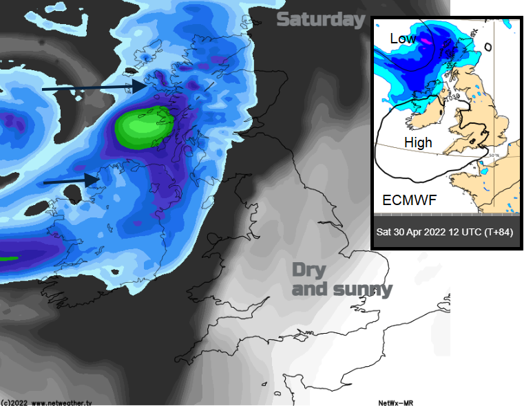
A shift from the NW occurs on Saturday as a developing low pressure rolls in, bringing rain. It looks to arrive in the far NW on Saturday afternoon, taking its time to sink southwards and weaken into Sunday. Some warmth to the south of this though and a few places may just tip to 20C or 21C.