High pressure will move over the UK this week, bringing settled, dry and calm conditions. Chilly by night with frost in the cooler airflow. High teens Celsius by the weekend in any sunshine.
That’s the Easter holidays finished, and eyes turn to the May Bank Holidays. Many parts of the UK have been very dry this month, feeling warm in the sunshine. Although North Sea coasts have struggled. Colder air will be flowing down from the north as high pressure edges down too.
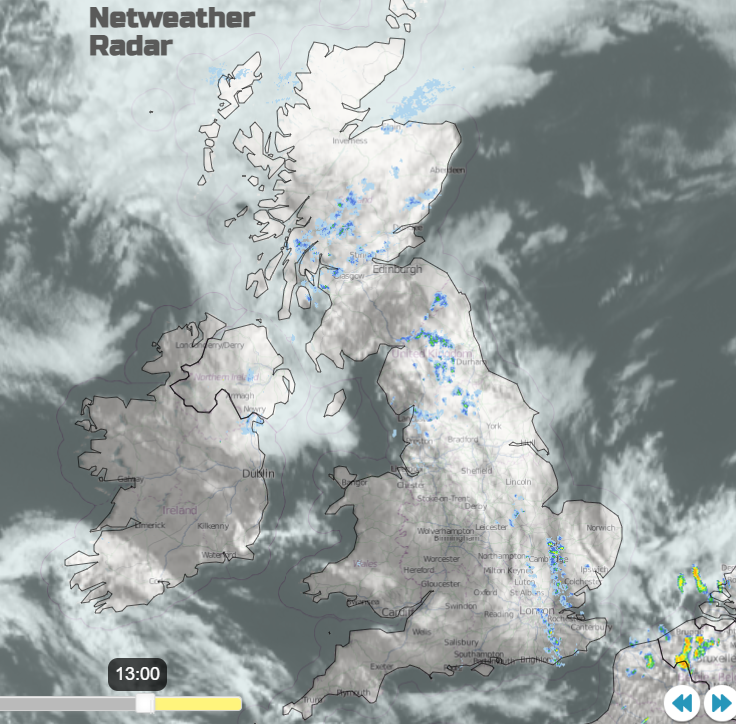
Radar and Satellite image showing patches of low cloud over the UK but still some big gaps with sunshine. A few showery bits but overall a dry picture today
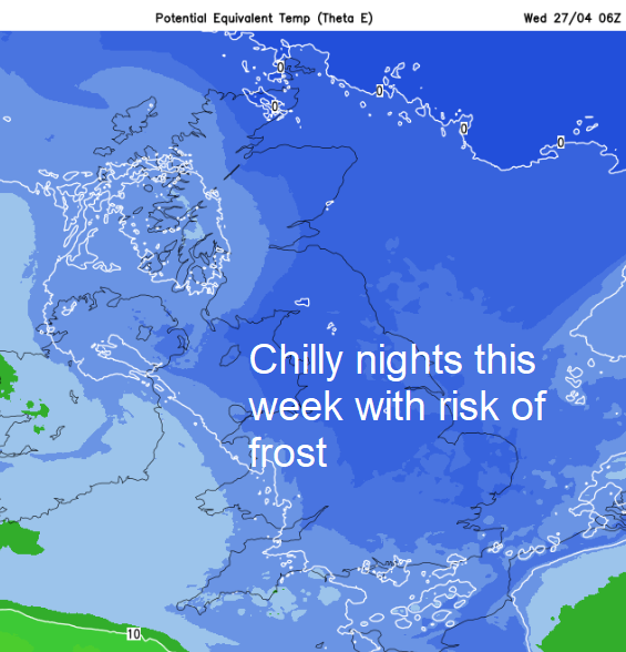
Yesterday temperatures in the sunshine rose into the high teens with Gosport, Hants seeing 19.8C. Wales also passed 19C. In the coming week, temperatures will settled back to near average, 11 to 15C. by night it will be colder with the risk of frost for Northern Ireland, northern Britain and some rural spots further south. This combined with the lack of rain isn’t a great picture for farmers and growers.
Although the air will be cooler, the sunshine is still strong and warm where it appears. There will be a fair amount of cloud about this week, just occasionally giving a few showery outbreaks. Today the cloud is thick enough for a little rain over NE England and central Scotland. By lunchtime, there could be patchy outbreaks over NW England and the Home Counties but overall, it is a fair, dry picture with bright or sunny spells and very light winds from the east or northeast.
By Monday evening there will be a few well-scattered showers over southern Britain and a line of showers arriving from the Northern Isles into Grampian on a fading cold front tonight
This will bring more cloud and a scattering of showers to the north and east of Scotland, into NE England and North Yorkshire by Tuesday morning. Ahead of this band, it will have been clear and cooler with a bit of fog in central/southern inland Britain. Overnight temperatures will be in single figures this week with rural parts falling down near to freezing, some just below. The feed from the North Sea continues and will bring patchy low cloud. This will make it feel cold here by day too.
It’s a slow-moving picture with plenty of dry weather, often fine but sometimes with stubborn cloud and grey skies which emphasises the nip in the air as April ends. As the high lumbers over the UK, there will be more of a breeze through the eastern Channel midweek. From the northeast/east catching Kent, Essex and Sussex so you’ll need a jumper or coat at the beach.
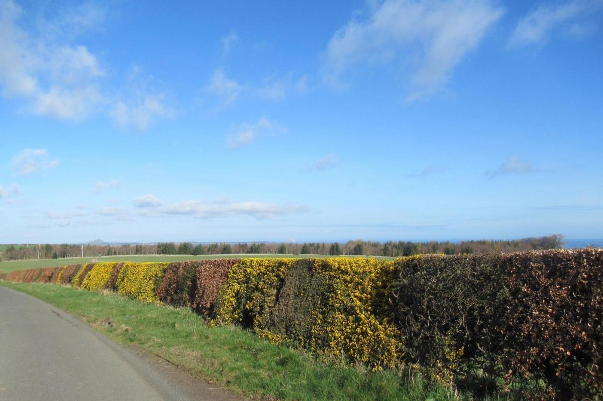
The tree pollen levels are still moderate to high, more so in the sunny spells. The fire risk is also an ongoing issue with plenty of dry vegetation on the ground.
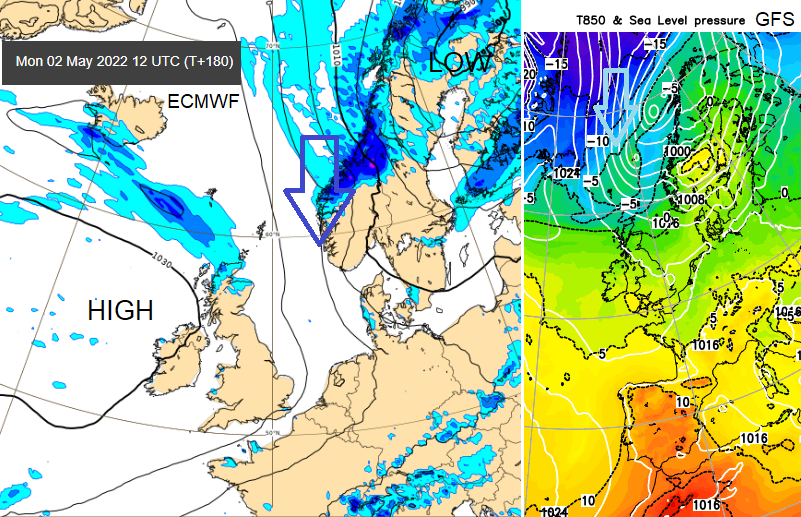
The high pressure over the UK will block any incoming frontal systems from the Atlantic for the rest of this month. Looking ahead to the early May Bank Holiday, it seems that the high pressure is still near enough to bring a lot of dry weather, but the flow of cool air looks to persist. So, the same story of warm sunshine by day, lifting the temperatures well up in the teens. Cooler under any cloud or in a breeze off the sea and nippy by night. Not looking like a Bank Holiday burst of heat although it’s still a fair way off.