


High pressure to the North of the British Isles will become dominant during the upcoming week and is likely to take a bit of a while to shift once it arrives.
High pressure to the North of the British Isles will become dominant during the upcoming week and is likely to take a bit of a while to shift once it arrives. That will mean easterly winds will be the norm for a time, often bringing a cooler, cloudier flavour to our weather, with the northern portion of the UK tending to stay driest.
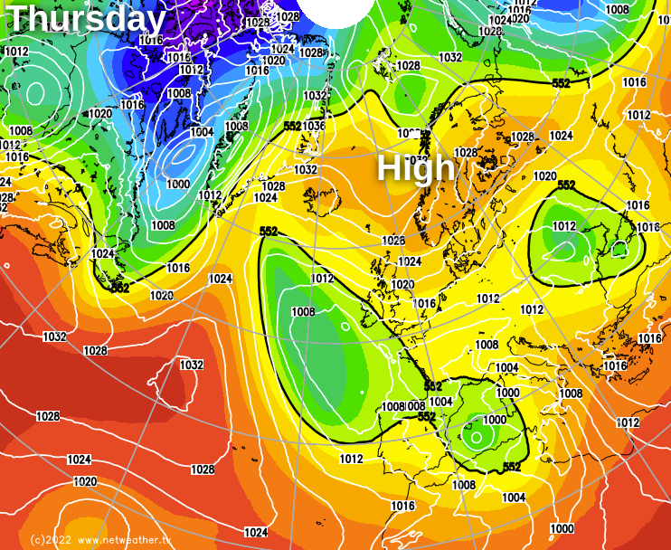
The map above from the Met Office global model shows the setup for Thursday, with high pressure stretching across from Scandinavia towards Greenland. If it were winter, we'd be staring down the barrel of some freezing weather, but cool and dull will be more the theme at this time of year.
In terms of rainfall, low pressure is likely to be close enough to the southern half of the UK to bring some showers by the end of the week and into the weekend. And with the general murk and cloud, it may also be thick enough to bring rain to the hills of Northern England in particular by then. Elsewhere, for now, it's a generally dry picture, but with cloud amounts increasing from midweek as those easterly winds kick into gear.
For now, though, the high pressure is situated solely over Scandinavia, with low pressure to the North of the British Isles, blocked from travelling any further east by that high, but still trying to have some influence.
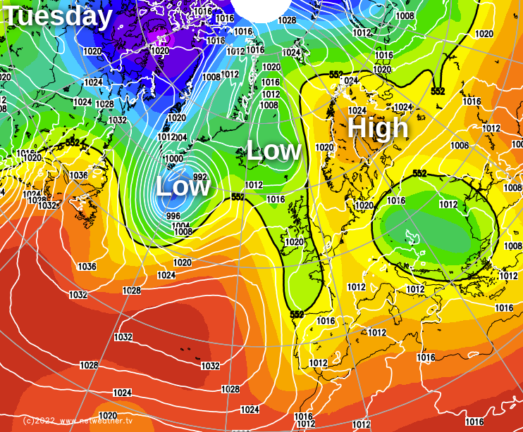
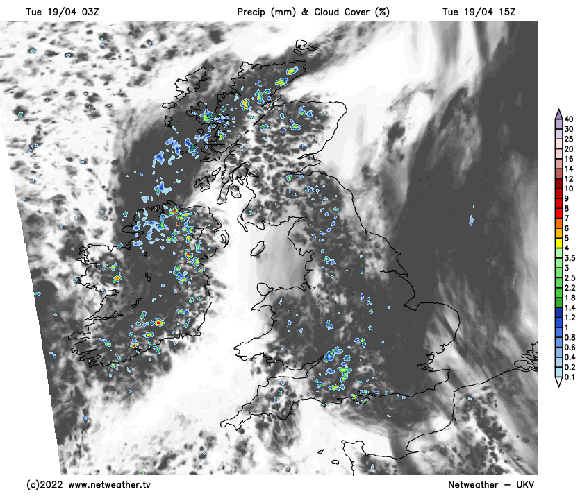
So, although today (Tuesday) has started dry and bright for many, there will be some showers about. Initially, they'll be in the northwest of Scotland but will tend to brew up more widely as the day wears on, so just about anywhere could catch one. They'll be pretty well scattered, though, so, despite the risk, many parts will stay dry, but the cloud will bubble up this afternoon regardless.
After reaching highs into the twenties at the start of the long weekend, we're into cooler air now, with temperatures typically hitting 13-16c countrywide this afternoon.
Into Wednesday, the high pressure's influence will be spreading, so the sunshine will far outweigh any showers, with most of these limited to the western side of the UK. It'll be a warmer day, too, with maxes closing in on the high-teens in places.
It's on Thursday that the easterly wind starts to really take hold. There'll still be some good sunny spells to be had at this point, but with increasing amounts of cloud blowing in off of the north sea. Thanks to all of that, it'll be noticeably cooler down the eastern side of the country, with western parts warmest and generally seeing the best of the sunshine. The amount of cloud will increase by Friday and into the weekend, with showers starting to feed in from the east.


