More snow showers today for some parts of the UK along with icy rain and bright spells. Raw in the north wind. Settling down at the weekend but another wintry burst by midweek
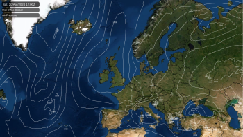
High pressure is sliding down into place for the weekend at the edge of western Europe. This keeps the cold Arctic air over the UK, particularly eastern Britain for the next few days. The high pressure tries to settle our weather down and there will be a slight shift in wind direction. An area of icy rain and snow will move down through western Scotland over Wales overnight reaching Exmoor then Dartmoor on Saturday. So still some coverings of snow to come, mostly on the hills. The Atlantic tries to take over late Sunday with milder air but there are signs now for a return from the north of Arctic air and maybe more snow midweek.
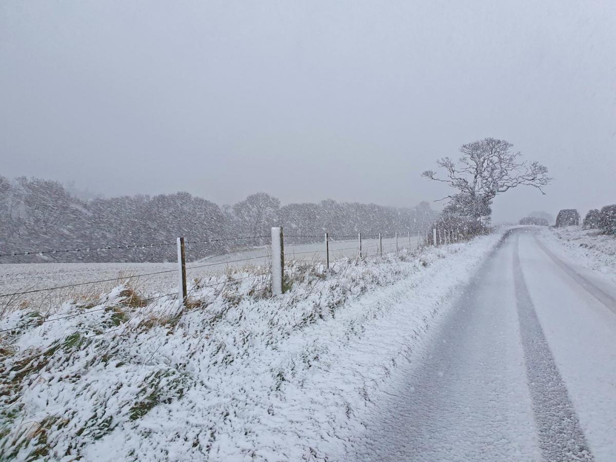
There has been snow overnight for Kent, quite a covering over the hills and some at sea level. There is a low pressure over Europe which continues to churn away this morning throwing showers over SE England, East Anglia and even reaching Peterborough. It’s also bringing a brisk cold north wind which is giving a real chill. A slight white covering or flurries from these showers and also from the feed off the North Sea which continues today for NE England, right down into Yorkshire. These are well scattered but if you are under a line, then the wintry weather keeps on coming. The surface wind has backed to a northerly so there are showers catching the Moray coast and also Pembrokeshire Dangler now with rain showers for Cornwall.
The Kent showers do ease off today but still a few over SE Britain. The showers from the North Sea continue down through Newcastle, Co. Durham, Whitby even into Lincolnshire and north Notts. on the northerly wind. Mostly as icy rain by day at lower levels.
.png)
Feeling cold for southern Britain in the brisk north wind with temperatures across the UK 4 to 8C. For Kent and Essex, the damp air will feel cruel in the strong north wind.
The low pressure which brought the snow to Kent sinks southwards through Europe bringing wild and wintry weather through France, Benelux countries, Austria to Italy. Plenty of snow and ice with wind chill as the Arctic plunge continues.
Our weather slowly changes as Atlantic air gets caught over the top of the high pressure out west. A small feature is already appearing on the radar over NW Scotland, and this will bring rain then hill snow today. It reaches SW Scotland and Northern Ireland by this afternoon, mostly as rain. It moves over Wales tonight with snow for the hills and Welsh mountains, leaving a showery feed for western parts by Saturday morning on the UKV model. Cold again tonight. The GFS makes more of the progress through Scotland overnight with snow for the higher parts of the Central Belt and M8 into southern Scotland and more snow for inland Wales. Unsettled weather for Devon during Saturday morning with snow over the Moors.
There will be a scattering of showers for England and Wales by Saturday afternoon with bright spells but fewer further north. Temperatures up a touch with lighter winds at 7 to 10C
The high builds in so light winds for Saturday night, again cold with a frost and ice in places after the showers.
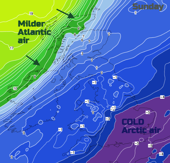
For the new week the temperatures begin to lift into double figures with a few sunnier spots reaching mid-teens. The coldest air takes its time to shift from SE Britain, still there on Sunday. Still, it will be a fine day with sunshine, just that chill in the air. An Atlantic front will topple into NW Scotland and later Northern Ireland with brisk west winds and rain. So, turning wet and blustery to end the weekend here.
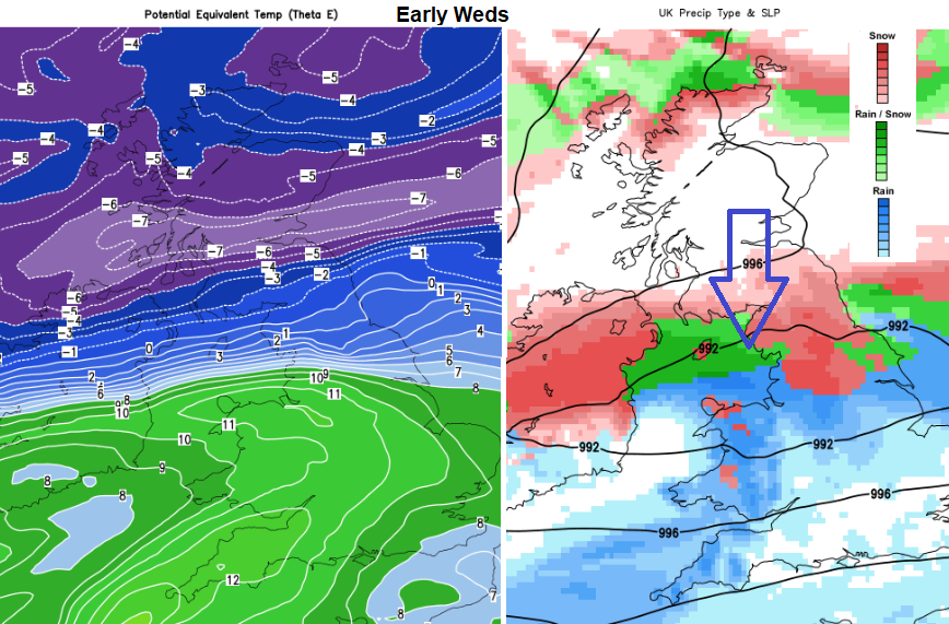
This doesn’t look to last and there is a signal that cold Arctic air will make a return from the north later Tuesday and for the middle of the week. With the possibility of frontal snow. Not just scattered showers but a sweep of winter weather from the north. Stay tuned.