


High pressure in control this weekend, bringing mostly dry and settled conditions, sunniest in the north, cloudier towards the south and east, with some showers. Atlantic systems with rain try and push in from the middle of next week.
Like last weekend, high pressure will be in control this weekend, with dry and settled weather for many places. But a chillier feel by day this weekend in the south and east where it will be windier and cloudier. Elsewhere, where skies clear overnight this weekend, there’ll be a risk of frost and fog forming. Like last weekend, there will be a few exceptions to the dry theme though. Last weekend it was the northwest, today it will be the southeast – where it will be dull, damp and breezy. Elsewhere will be dry and sunny. Central and southern areas will have more in the way of cloud on Sunday, with a few showers and occasional glimpses of sunshine, but the best of the sunshine confined to northern areas.
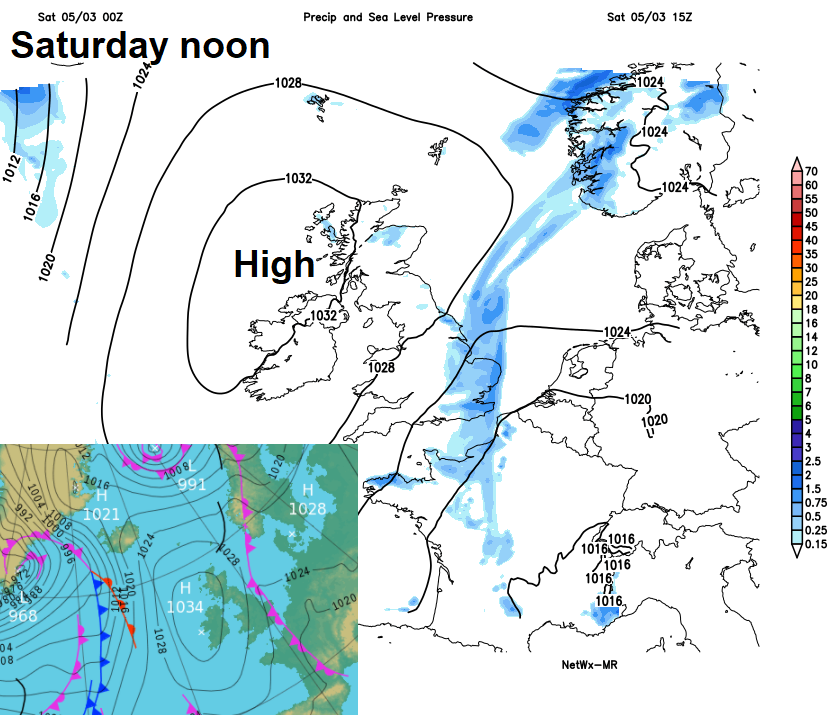
Like last weekend, high pressure in control this weekend, but weather front will bring cloud and some rain across eastern England today:
High pressure building over the UK this weekend will drift eastwards over Germany and Denmark early next week. This will draw in a south or southeasterly breeze across the UK, it will be dry and bright or sunny on Monday, cloud thickening across the west Tuesday with a risk of showery rain by evening, eastern areas dry and sunny. Turning increasingly unsettled and windy but milder from mid-week, with a strengthening southerly wind and bands of showery rain trying to push eastwards across the UK, though some uncertainty how far east and how much rain will reach the east, thanks to high pressure to the east slowing the progress eastwards of fronts.
For now, a cold and frosty start to Saturday across the north and west. Lowest temperature overnight of -6.8C at Tulloch Bridge in the western Highlands. Much of Scotland, far north of England and N. Ireland falling below freezing overnight. A sunny but cold start for many, but a different picture across Lincolnshire, East Anglia and SE England. Here frost free under a blanket of cloud along a slow-moving weather front – which is producing some rain.
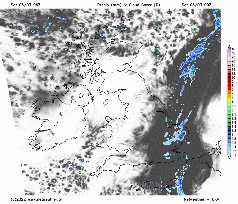
Staying grey and damp with a brisk northerly wind today across much of eastern and southeastern England, roughly east of a line from East Yorkshire to Dorset. Occasional outbreaks of rain slowly edging westwards in these areas. Elsewhere it will be mainly dry with sunny spells after the cold and frost start in the north and west, though cloud will thicken from the east across the Midlands and parts of Yorkshire. Temperatures reaching 8-10C in the sunnier northern and western areas, but under the cloud and dampness across eastern England – reaching 6-8C at best, feeling colder than this in the brisk northerly wind.
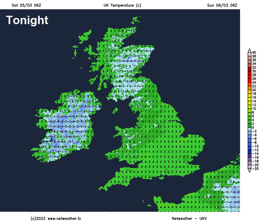
Northern areas dry and staying clear tonight, so frost developing widely and also some fog patches, temperatures falling to -4 or-5C in sheltered glens in the Highlands. Cloudier skies spreading west across southern areas, with the odd shower in places.
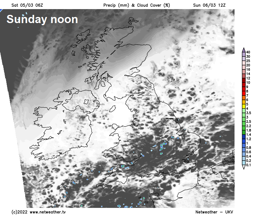
Cloudy at times on Sunday across south Wales, central, southern and eastern England, with a few showers in places, particularly early on, some sunny spells, particularly in the afternoon. A brisk northeasterly breeze across southern England, lighter winds further north. Much of northern Britain dry and sunny with light winds. On the cool side, temperatures reaching 7-9C. A more widespread frost following Sunday night, as skies clear more widely.
After a cold and frost start, Monday will be dry and sunny but with a chilly easterly or southeasterly wind. Temperatures reaching 6-8C. After a cold and frosty Monday night for many, similar across the east on Tuesday, dry and sunny, but with a chilly southeasterly wind. After a bright morning in the west, cloud thickening from the west in the afternoon, with some showers arriving by the evening towards the southwest. Temperatures reaching 7-9C.
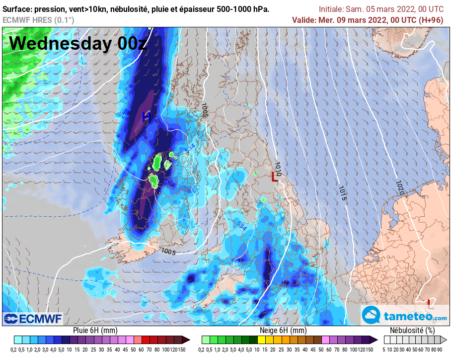
High pressure continues to retreat to the east from mid-week, allowing low pressure systems to move in across the west, some uncertainty how far east frontal systems will get, but certainly western areas will see the lion’s share of rainfall along these fronts moving in from the west, some showery rain reaching the east a times. As well as the increasing chances of rain, it will turn milder and rather windy too, southerly winds could touch gale force in the west at times. Temperatures reaching double figures in many areas.


