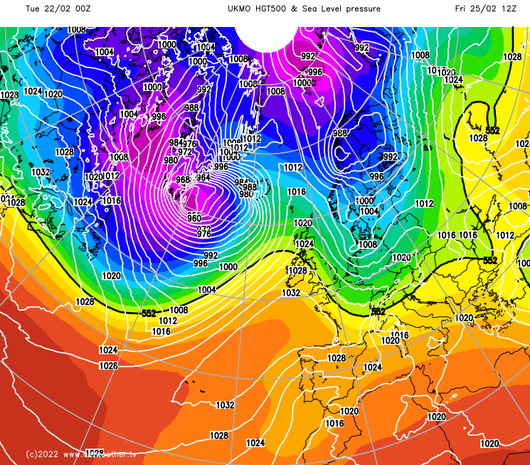
An unsettled westerly type is set to continue during this week, although there are signs that the weather will turn more settled for most of the UK by this coming weekend, with high pressure building for a time over and to the east of the British Isles.
An unsettled westerly type is set to continue during this week, although there are signs that the weather will turn more settled for most of the UK by this coming weekend, with high pressure building for a time over and to the east of the British Isles.
Today will see a band of rain spreading south-eastwards through eastern, central and southern England. This will reach the east Midlands and central southern England by midday and will spread into East Anglia and the south-east through the afternoon, but it will increasingly turn light and patchy, so some places in its path may stay dry.
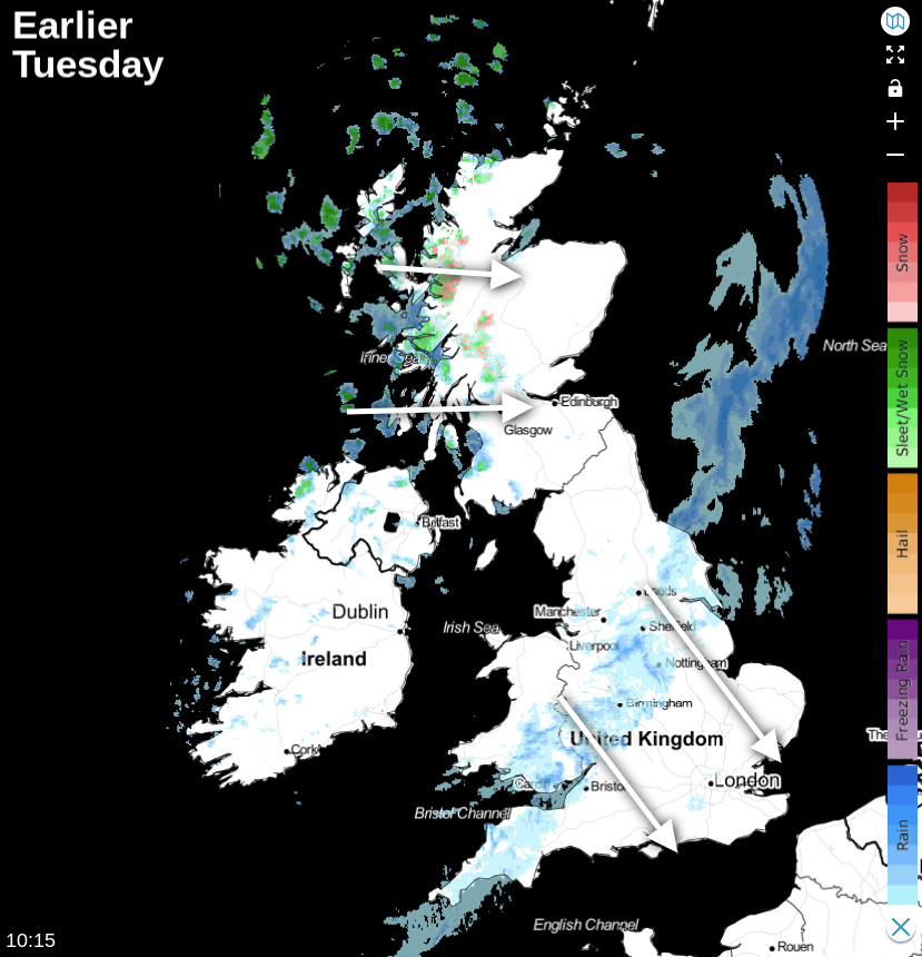
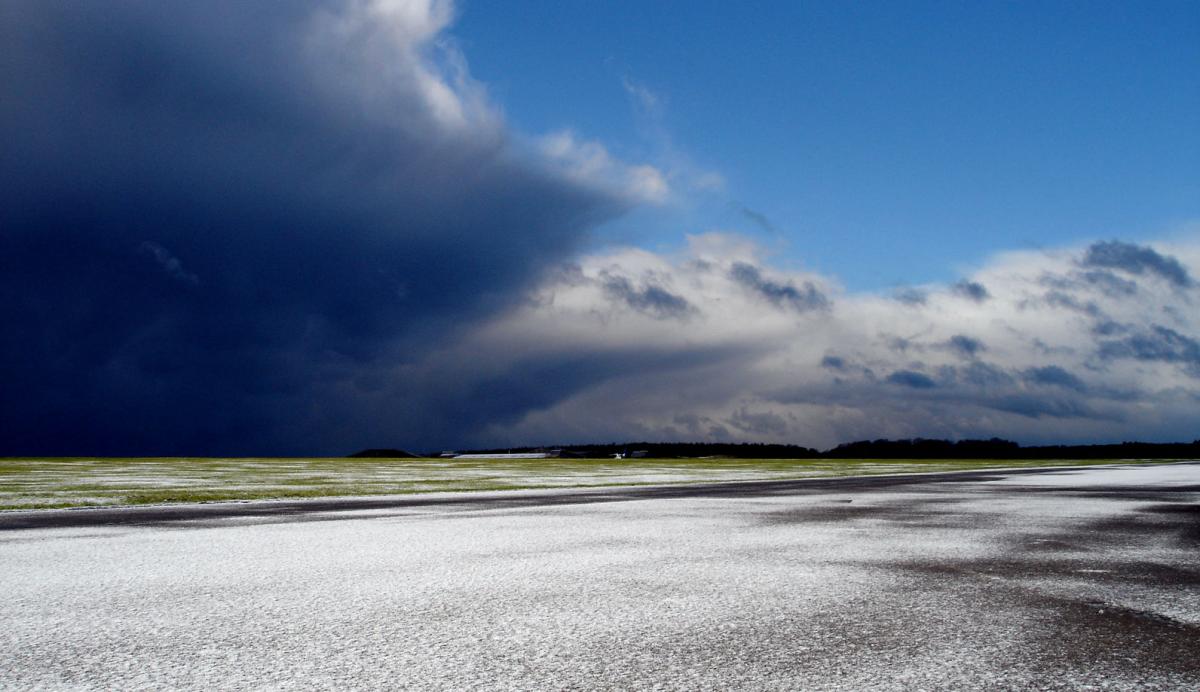
Following behind will be much brighter weather, with some showers for western areas. Some of these showers will spread eastwards into eastern Scotland and north-east England, but around Aberdeenshire, it is expected to stay mostly dry. They will tend to die out over Wales and western England during the afternoon. These showers will also be wintry to the north of the Scottish Lowlands, especially on high ground.
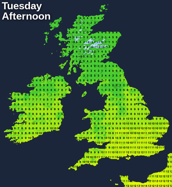
It will be another mild day over England and Wales with widespread maxima of 12 or 13C, but colder over Scotland and Northern Ireland, where highs of between 6 and 9C will be typical.
Most areas will see temperatures fall no lower than 2 to 4C overnight, which may allow a slight frost to develop in some areas, particularly in the north and east. Most places will have a dry night, but in the north and west of Scotland, there will be further showers, which will be replaced by a more persistent band of rain (with snow on high ground) towards dawn.
Tomorrow, the rain belt over north-west Scotland will push slowly south-eastwards through Scotland and Northern Ireland, reaching the north of England and north Wales by evening, but not yet reaching the Midlands or the south of England and Wales. For most of England and Wales it will be a dry sunny day, but with increasing high cloud as the frontal system approaches from the north-west. To the north of the band, there will be sunshine and showers, and the showers will turn increasingly wintry, especially over high ground in Scotland, but again many north-eastern parts of Scotland will stay dry.
Temperatures will be similar to today's, reaching between 10 and 12C over much of England and Wales and the south of Northern Ireland, but in the north of Northern Ireland and over much of Scotland, where colder air will be setting in, they will reach just 5 to 7C.
Overnight, a colder air mass will move in, with showers increasingly producing snow to low levels in Scotland, Northern Ireland, Wales and northern England. Many areas of Scotland and Northern Ireland may wake up to a covering of snow on Thursday, even on low ground, while a snow cover is also likely on high ground over much of Wales and north-west England. The band of rain will clear south-eastwards through the Midlands and south overnight.
Thursday will be a day of sunshine and wintry showers, with a covering of snow persisting in many upland parts of the north. Snow showers are likely on high ground as far south as Cornwall and Devon. However, any lying snow will tend to thaw quickly in the sun in between the showers on low ground. Temperatures will still be quite mild in the south-east, reaching 9 or 10C, but it will be colder elsewhere, with Scotland and Northern Ireland mostly seeing highs of between 4 and 6C on low ground.
By Friday, with high pressure coming in from the west, any showers will be isolated, and for most of the UK, Friday looks set to be sunny and dry. Most of England and Wales are likely to continue dry and sunny through the weekend, with fairly warm temperatures by day and some frost at night, but with rain affecting Northern Ireland and central and western parts of Scotland at times.