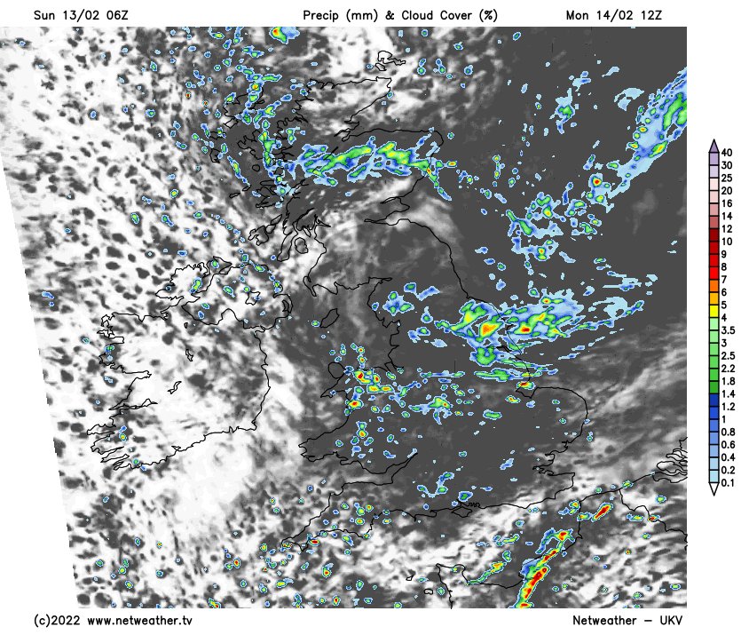
The Atlantic is in full flow as a strong jet stream continues to fire low pressure systems towards the British Isles.
There's still no sign of a change, as Atlantic systems continue to sweep across the country on a strong Jet Stream, bringing further unsettled and, at times, windy weather over the next few days.
One such depression and its attendant fronts spread wind and rain from West to East across most parts today, followed by showery, somewhat colder conditions into the new working week. An overnight transient ridge then settles things down briefly before more wind and rain move in during Tuesday.
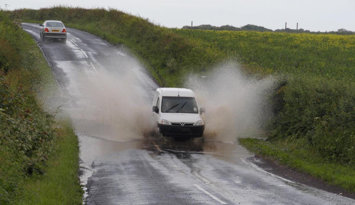
Any brightness in the East will soon disappear in a dull day generally, with most parts seeing some rain. This'll be heavy across Northern Ireland at first, much of northern England, southern Scotland, and in the West, with a Met Office yellow warning to this effect issued for central and southern parts of Wales. However, many eastern areas shouldn't see much rain until the afternoon, where a fresh and blustery southerly wind will give gale gusts of up to 50mph along some English Channel shorelines.
The exception will be Scotland North of the Great Glen, where apart from the odd shower, much of the day will be dry and bright in a lighter breeze, but it'll be rather cold, with top temperatures here only about 5 or 6C. Further South and more especially across the South and East of England, a balmier 9 to 11C is expected.
The rain clears from the West during the evening but could linger well into the night across parts of East Scotland, East Anglia and South East England. While skies will break mainly across Northern Ireland and western Scotland, most regions keep a lot of cloud with a scattering of showers. These'll turn wintry over Scottish mountains, as winds here become North West or northerly, making it feel rather raw. Elsewhere there should be enough of a West or South West wind and cloud at times to keep a frost away, with lowest temperatures mainly in the range 3 to 7C.
Cupid, the God of affection, will probably prefer to stay indoors on Valentines Day tomorrow, as the new working week begins in a rather cloudy showery mood. The showers will be quite frequent at first over England and Wales, some locally heavy and blustery. They'll fall as snow on Scottish hills but should tend to fade from Northern Ireland and the West towards dusk.
Such is the case with showers, though, that some parts will fare better than others in a primarily moderate or fresh North Westerly wind that'll feel cold. Nevertheless, temperatures won't be too far from normal towards the South and South East, reaching 4 to 6C in the North and 7 to 9C across much of England and Wales.
The showers fade after dark, as a transient ridge crosses the country from the West overnight. Clear intervals allow it to turn cold enough for a touch of frost in some sheltered central and eastern districts, where temperatures could fall close to freezing briefly in the coldest spots. But it won't be long before the next Atlantic system brings freshening winds and more rain to Northern Ireland, this spreading to other more western areas before morning to keep the weather in a very changeable mood.