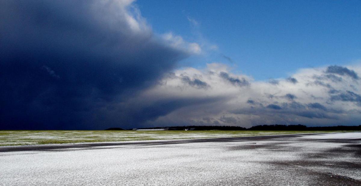
It will be mild across most of England and Wales today but colder air across Scotland will spread south to all parts by Thursday. Wintry showers across Scotland most of the week, with significant snow totals building over higher ground.
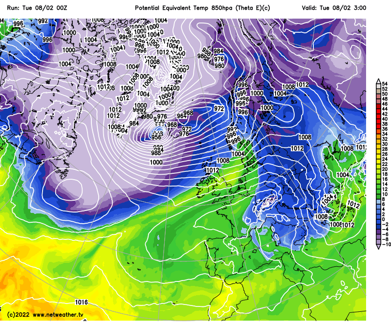
There will be a north-south divide in the weather today, with colder air across the north, Scotland seeing wintry showers, cloud and rain across northern England and N. Ireland along a cold front marking the dividing line between the cold air to the north and mild, but mostly dry conditions across the south. The cold front will move down towards southern England on Wednesday, where there’ll be cloud and drizzle, while central and northern areas see a colder but brighter day, with wintry showers for Scotland and N. Ireland. The cold front will clear the south early Thursday, with colder polar air across all parts, the cold air will linger through to Saturday. Further wintry showers in the north Thursday, gales possible for a time across northern Scotland Thursday morning, which could bring blizzard conditions. High pressure builds in on Friday, so for most it will be dry and bright though still with wintry showers for the far north. Widespread frost is likely Thursday and Friday nights.
Cold air across the north today will eventually reach the south on Thursday - where it'll linger until the weekend
After a chilly start to the weekend there will be a gradual transition to more unsettled, windier and milder conditions from the west – as low pressure moves in close to the northwest. Showers or longer spells of rain spreading in across northern and western areas on Saturday, drier towards the southeast, then on Sunday it may turn wet and windy across England and Wales, showery for Scotland. The unsettled and windy conditions look to persist through next week too, perhaps with gales at times, with spells of rain or showers for all parts, showers turning wintry in the north with colder air pushing in at times.
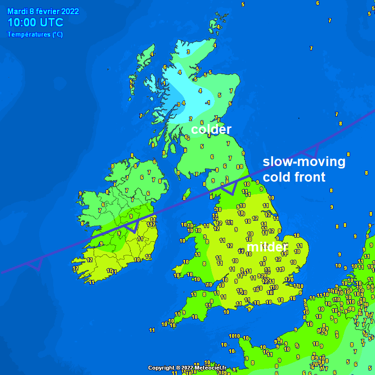
For now, quite a north-south contrast in temperatures across the north at breakfast time this morning, it’s only 3C in northern Scotland but across northern England it’s 12C. A slowing-moving cold front lying across Ireland and the far north of England this morning and separates the cold and mild airmasses.
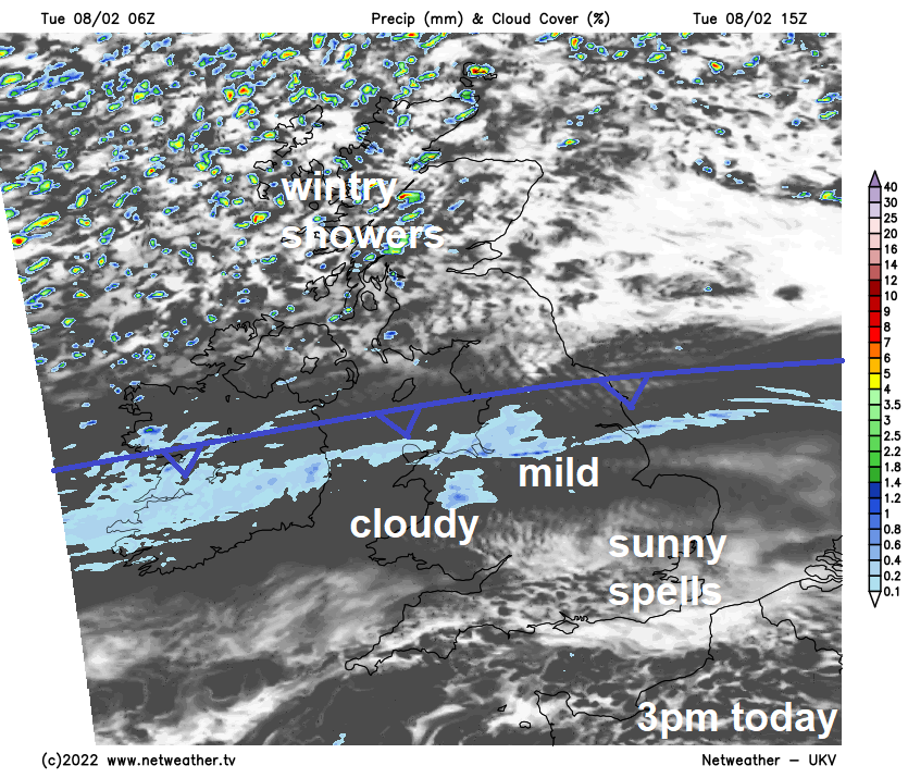
The front will bring cloud and patchy mainly light rain through much of the day, perhaps slipping south into North Wales. To the north of the front across Scotland and N. Ireland it will be windy and there will be sunshine and blustery showers today, which will be wintry over higher ground. To the south of the front it will be breezy but mostly dry, a lot of cloud but some sunny spells towards SE England and East Anglia, thicker cloud across Wales and SW England may bring some drizzle over hills.
Temperatures today reaching 6-9C across Scotland, the strong westerly wind making it feel cold, perhaps gusting to over 50mph across northern Scotland. England, Wales and N. Ireland temperatures 10-14C – which is well above average for early February. Mildest where we see sunny spells.
The cold front across northern England will slowly sink south into the Midlands and Wales tonight, with a band of patchy rain. Cold but windy to the north – with further wintry showers blown in across northern and western Scotland – bringing further snow accumulations over the higher ground. Southern England and East Anglia dry, breezy and mild.
Cold front continues to slowly sink south across England and Wales on Wednesday, reaching southern England and East Anglia in the afternoon, bringing a band of thicker cloud with it, though little more than some patchy light rain or drizzle when it reaches the south. Colder and brighter conditions for Scotland, N. Ireland, northern England and north Wales. Further sleet and snow showers for northern and western Scotland along with Northern Ireland – some significant accumulations building up in the western Highlands where showers will be most frequent. Mild air hanging on across the far south – temperatures here reaching 10-12C. But Midlands northwards we’re into the colder air, with highs of 6-9C for northern England, Midlands and Wales, 4-6C for Scotland and N. Ireland.
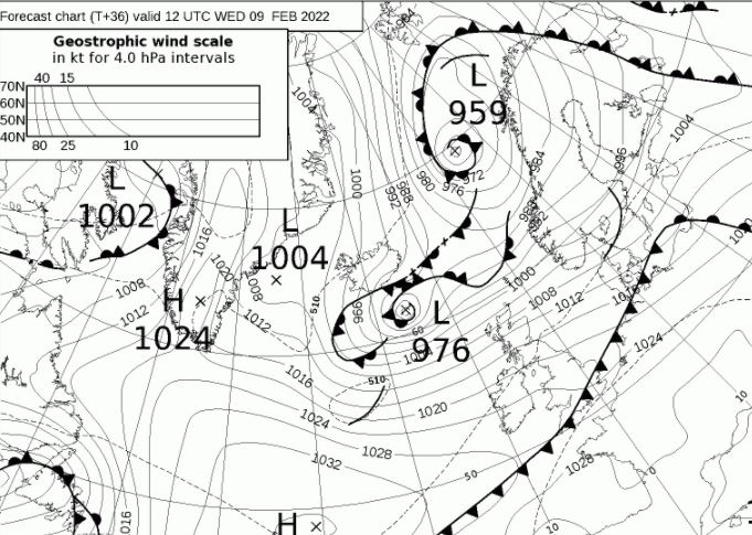
Colder across all parts on Thursday, as the cold front pushes south the milder air into the near continent. A cold and bright day on the whole, with wintry showers across the north, but we’re keeping our eye on a dee low moving southeast that may track close to northern Scotland, as some models suggest, bringing the threat of severe gales and blizzard conditions, when combing with the snow showers, across northern Scotland in the morning for a time. A windy day in the north generally though – which will make it feel even colder than the thermometer suggests. Temperatures reaching 4-7C at best in the north, 7-9C in the south.
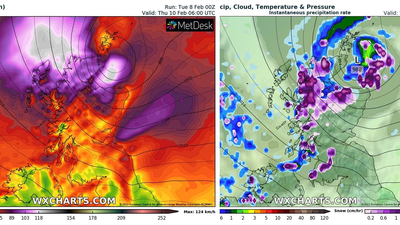
EC wind gusts and precipitation type for 6am Thursday. Charts credit: wxcharts.com
After a frosty start for many, a ridge of high pressure builds in for Friday, so for most it will be dry, chilly and sunny, though wintry showers will continue across the far north. Turning windier, milder and unsettled from the west as we head through the weekend, with rain likely across parts at some point.