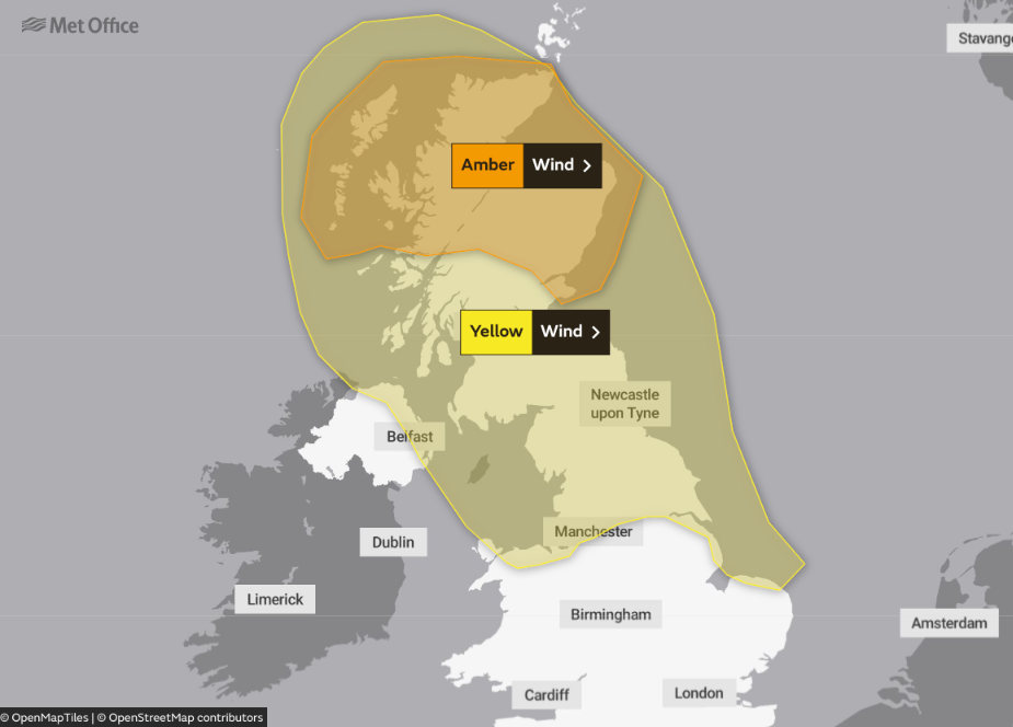
Storm Corrie arrives later Sunday to bring a very windy end to the weekend and start to next week. An amber weather warning has been issued for parts of Scotland.
As storm Malik moves away having given a gust of wind to 93mph across Northumberland yesterday, another storm is moving in. Corrie will bring more severe weather to the North from later this afternoon and into the new working week. As a result, further Met Office warnings have been issued, amber for Scotland and yellow for northern England of severe gales.
It'll remain unsettled and windy at times into early February, especially in the North but it becomes very mild, with a brief 'spring-like' feel in the South and East towards mid-week.
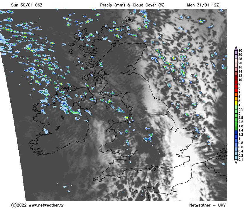
Most parts began Sunday fine but chilly, with a slight frost first thing in central and eastern areas and in sheltered parts of East Wales. There'll be plenty of sunshine, and it should remain this way for much of the day towards the East coast. But cloud will be spreading from the West by the afternoon, bringing rain to Northern Ireland and the North and West of Scotland later, where it'll be preceded by snow on hills. Light winds in the East at first freshen from the South or South West, with a severe gale developing over the North and West of Scotland and parts of Northern Ireland by dusk. Top temperatures 4 to 6C in the North and 7 to 9C in the South.
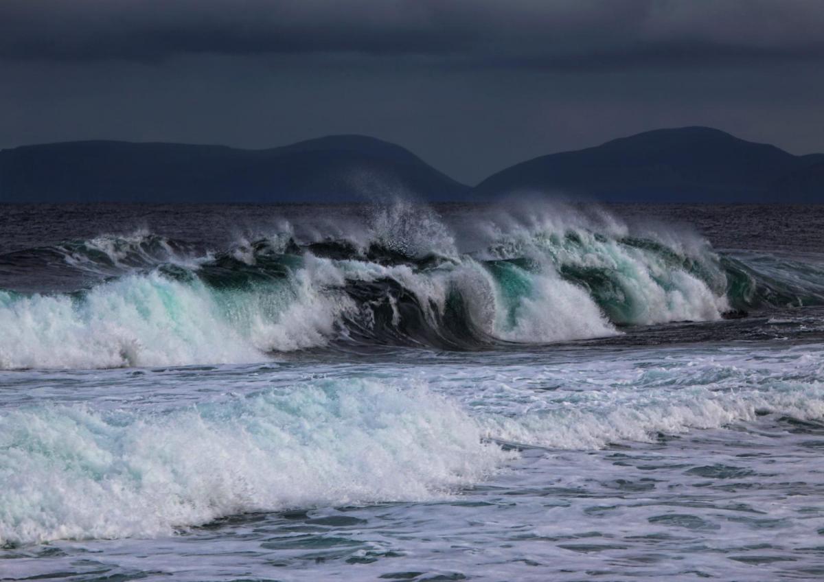
Storm Corrie gives a wild evening and night in the North, with some heavy, driving rain across Scotland for a while. A narrower band of rain that'll be light in the South will also cross England and Wales, followed by clear intervals and blustery showers already into Northern Ireland soon after dark. The showers will be heaviest and most frequent over the North and East of Scotland, where they'll turn wintry again on hills and along some exposed North Sea coasts later.
Across Scotland and North East England, a North Westerly gale becomes severe, giving damaging gusts perhaps in excess of 80mph across exposed areas. It also becomes very windy further South with gusts in excess of gale force before morning. However, the wind will help keep a frost away, with the lowest temperatures mostly between 3 and 6C.
Monday will be bright in most parts but very windy, particularly at first, with the North and East of Scotland and places towards North Sea coasts seeing further gusts to severe gale force at first. In a day of sunny spells, there'll be passing blustery showers, some heavy and wintry in the North, mainly giving hill snow.
However, there'll be fewer showers across central and southern parts of England and Wales, with some parts missing them altogether. The blustery wind will gradually go round to the West and moderate a little through the day, but it'll feel cold and raw, with maximum temperatures just 3 to 5C in the North while sheltered parts of southern England reach about 8 or 9C.
Although still breezy, there'll be somewhat of a lull into the evening with clear spells for a while in central and eastern areas, but it'll remain very changeable as more cloud moves in from the West overnight. This could bring more rain preceded by hill snow to the North and West before morning. Although turning cold in the East for a while, there should be too much of a South Westerly wind again for any significant frost problems, with the thermometer not falling below about 2 to 4C before temperatures begin to rise again from the West later in the night.