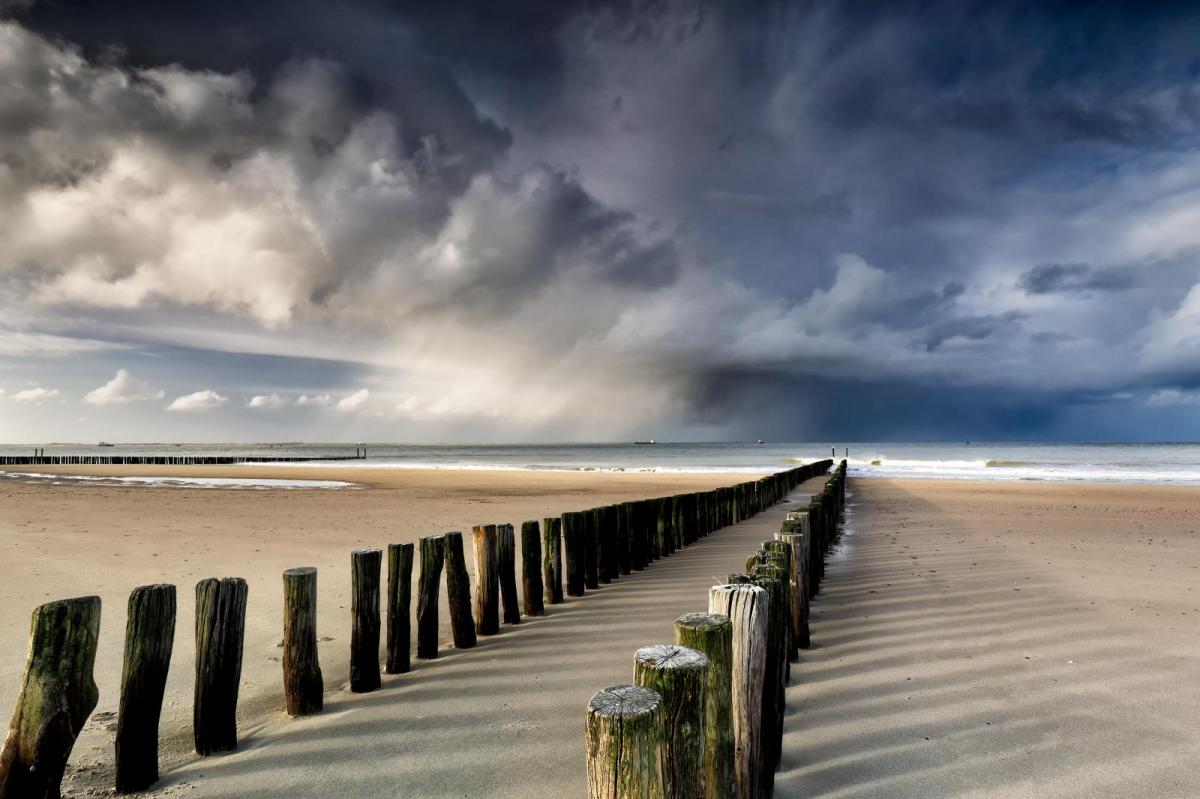
A blip today, with some showery rain, sleet and snow for some. But, high pressure will soon build back in over the country and is set to stay a while yet.
Even though this winter has been relatively mild so far, there's often been a cold, clingy, raw feel to the air. It's also been very damp caused by winds of maritime origin, but with high pressure mostly in charge over the past week, it's been largely dry, especially in central and southern parts. At times, clear skies have led to some quite stark diurnal variations in temperature so far this month, more akin to March than January. And while there'll be some showers today, high pressure soon returns, with a large anticyclone becoming established across the country towards the weekend.
There'll undoubtedly be a chill in the air today with a blustery North West wind of Arctic origin bringing a mix of sunny intervals and scattered showers to Scotland and Northern Ireland. Some will be heavy in the North and West turning increasingly to snow in the North, across the Northern Isles and on hills further South. Temperatures eventually end up in the range 4 to 6C and will only be just above freezing in the far North later, where it'll feel particularly raw in strong or gale-force winds.
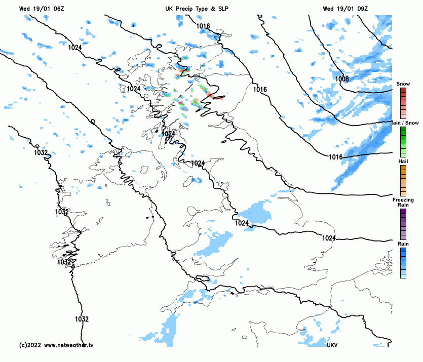
A couple of fronts moving South across England and Wales this morning are giving some rain, but much of it is light and patchy. Some southern areas will stay dry before the front clears the South coast early this afternoon. Sunny spells and just a few showers follow, these mostly towards coasts exposed to a somewhat blustery West or North West wind. Ahead of the front, skies may break for a while this morning over some central and southern parts, where it'll be on the mild side briefly, with the thermometer up to 9 or 10C towards the South West. However, a somewhat colder 7 or 8C is more likely once the front clears, with an increasingly raw feel towards dusk.
Expect clear spells in a cold evening and night, especially in sheltered central and southern parts. There'll be a lot of dry weather, but also scattered showers that'll be wintry, especially on hills. These'll be mainly over North and North East Scotland, North and West Wales, Northern Ireland at first, Norfolk and towards coasts exposed to a blustery North or North West wind. Some hills could see a 'dusting' of snow as far South as North Wales and the Lincolnshire Wolds by morning when there'll be a frost, especially where you have shelter, with lowest temperatures -2 to +3C.
It's mostly fine but cold on Thursday, after a frost in places at first. Most parts see a good deal of winter sunshine, but northern Scotland, West Wales at first and the East coast south of the Humber, particularly, continue to see showers. Some will be wintry giving hill snow, but they'll tend to fade through the day, especially in the West, as pressure rises strongly. At first, a very raw North West wind, blustery in the East, will slowly decrease, but temperatures across the country get no higher than about 4 to 8C.
A cold and frosty night follows, with perhaps a few freezing fog patches forming later to the lee of the Welsh mountains and across parts of central, southern England, as a large anticyclone begins to move in from the West. Further North and more especially across the North and West of Scotland where cloud and patchy rain may move in towards morning, it'll be somewhat less cold. Lowest temperatures -4 to around freezing, but turning milder in the far North West towards dawn.
Finally, rumours suggest that the recent snow over the East of the United States could be coming our way. This is unlikely, and even if it did, the cold would have been greatly modified by thousands of miles of Ocean by the time it reached the U.K.