A chilly Sunday in the brisk northerly wind. Early next week mostly dry, settled and cool. Turning colder from Thursday as winds turn northerly again, with showers or longer spells of rain, snow for northern hills and risk of widespread overnight frost.
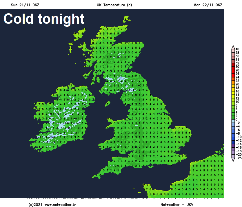
Sunday will be a colder and sunnier day compared to the last few days, thanks to a cold front clearing south across England and Wales overnight – clearing the mild and cloudy conditions. This will pave the way to a cold night tonight - with a widespread frost developing.
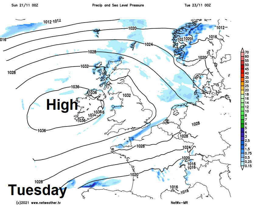
High pressure will be in charge for the first half of the new week, centred close to or over Ireland, so for most it will be dry, settled but cool on Monday, before turning briefly milder on Tuesday – as winds turn westerly.
A change by Thursday, as cold air from the arctic sweeps south across the UK to end the week
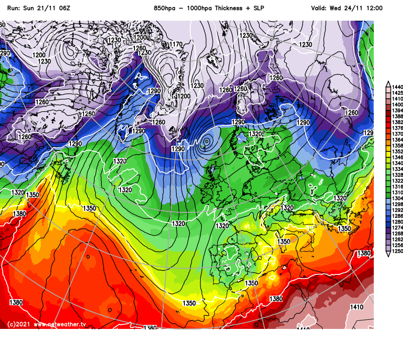
Then a change mid-week, as high pressure retreats west - allowing an area of low pressure to drop southeast from Iceland towards the North Sea. This will allow cold northerly winds to flood south across all parts on Thursday and continuing into Friday, bringing showers which will turn wintry across the north, particularly over higher ground. Frosty nights will be widespread too.
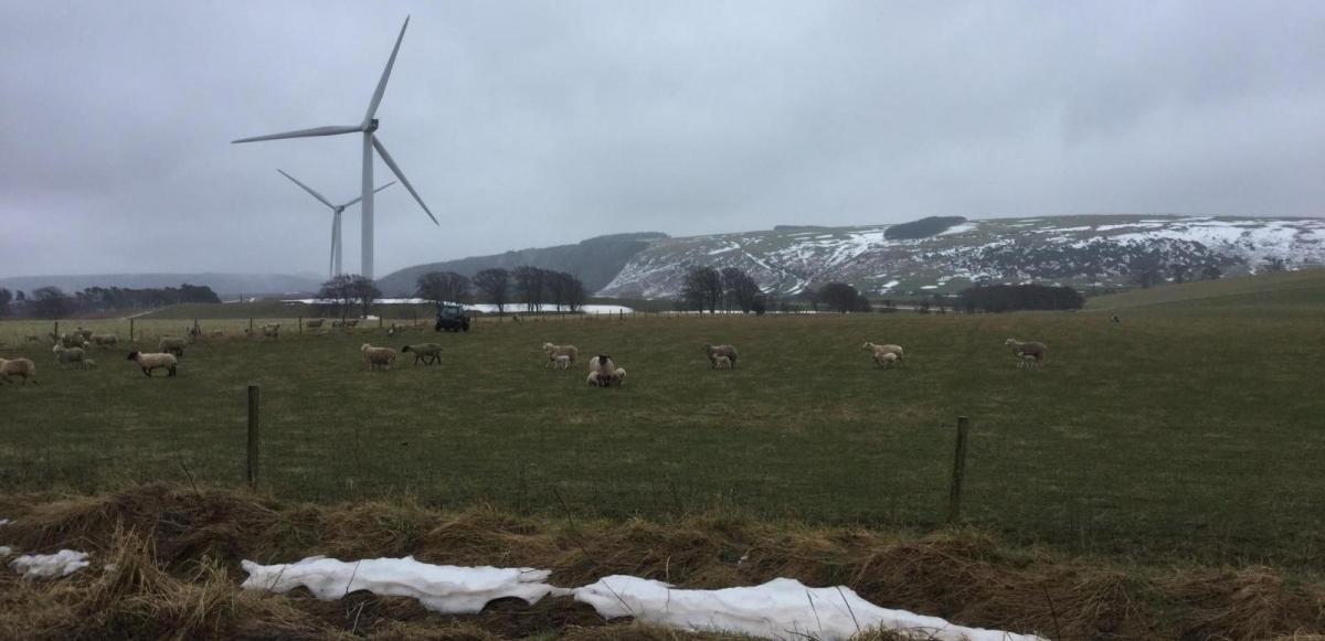
Back to today in more detail, a noticeably colder day today compared to the very mild days recently, thanks to a chilly northerly flow. For many it will be a dry day with plenty of sunshine. But there will be some showers, locally heavy, across northern Scotland, running down eastern coasts of England and also a Pembrokeshire Dangler of showers. Temperatures reaching 6-8C generally, perhaps 9C across the far southwest and Channel Islands. A strong northerly wind making it feel bitter.
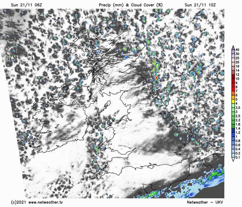
Showers continuing across East Anglia and parts of SE England through tonight, but elsewhere – clearer skies and the northerly wind easing will lead to a cold night, with a widespread ground frost developing in rural areas, an air frost across Scotland and northern England.
So, a cold and frosty start for many on Monday, which will turn out to be another mostly dry and settled day. With the flow coming more from the northwest around high pressure centred just west of Ireland, there will be more in the way of cloud for Scotland, with the odd spot of rain in the north, while it will be less cold than today for most too. Temperatures 7-11C. Best of the sunshine across England and Wales.
High pressure in charge for the first half of the new week:
Perhaps a frost to start Tuesday for northern England, Wales and the Midlands, then another mostly dry and settled day. Northern areas tending to be cloudier in the northwesterly flow, southern areas seeing the best chance of sunshine. Temperatures reaching 7-10C.
Wednesday
A frost perhaps for southern England to start Wednesday, then another mostly dry and bright day for England and Wales. A cold front bringing a band of rain looks to slip southeast across Scotland, N. Ireland and later in the day the north of England, followed by colder and showery conditions in the northwest, showers turning wintry across western Scotland.
That cold front moving down across the north on Wednesday clearing southern England around breakfast time Thursday morning, with a cold northerly wind following the front for all parts. Showers feeding in across northern Scotland and down along eastern and western coasts, wintry across the north – with snow over higher ground, perhaps snow to lower levels in the west of Scotland. Temperatures reaching 4-7C at best. Widespread frost Thursday night.
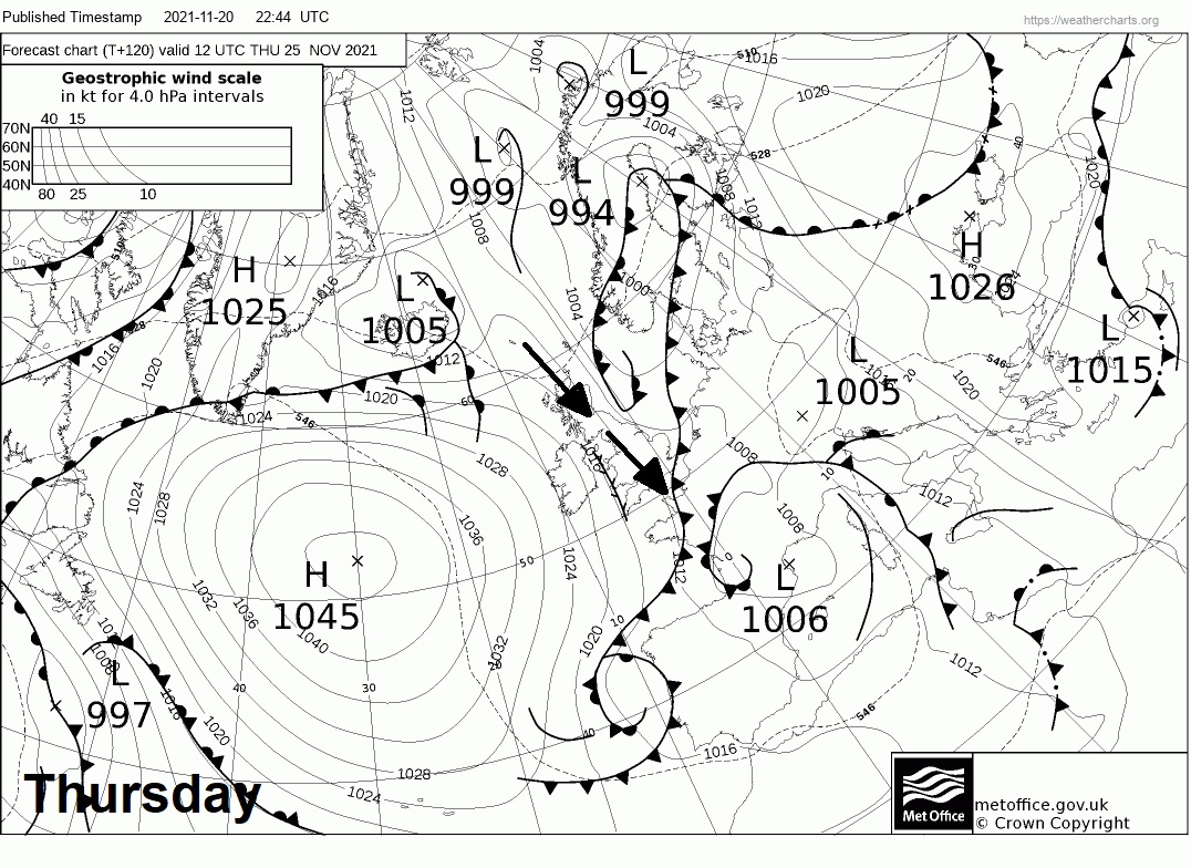
Winds northwesterly on Friday and becoming quite strong, with gales in the north and west, as fairly deep low clips NE Scotland on its way southeast to the North Sea. This low looks to sweep a band of heavy and squally rain southeast across Britain, followed by another surge of cold air with heavy showers across northern and western areas – wintry over high ground. Perhaps a fair bit of snow for the northern Highlands.
A cold and brisk northerly or northwesterly wind looks to continue through next weekend too, bringing showers around windward coastal areas and occasionally inland too, wintry over higher ground and perhaps to lower levels in the north at times. Widespread frost likely at night.