Another fine day for much of the UK with warm sunshine. However, it is windy for Scotland as frontal rain edges southwards, into Northern Ireland this evening.
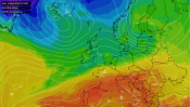
Today's weather has started off clear and sunny to the east of high ground - over much of central and eastern England, eastern Scotland, and also the east of Northern Ireland. However, it is cloudier in many western areas, due to a strengthening westerly airflow, and we have rain heading into north-west Scotland.
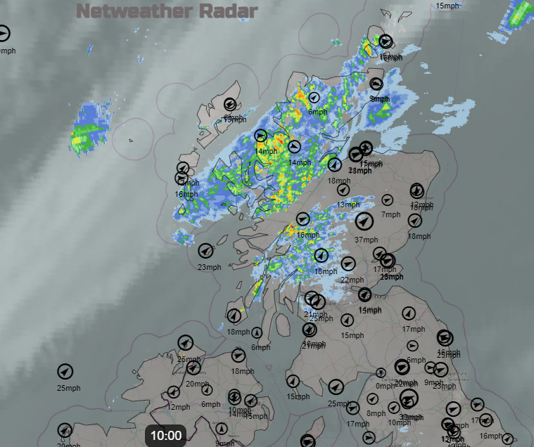
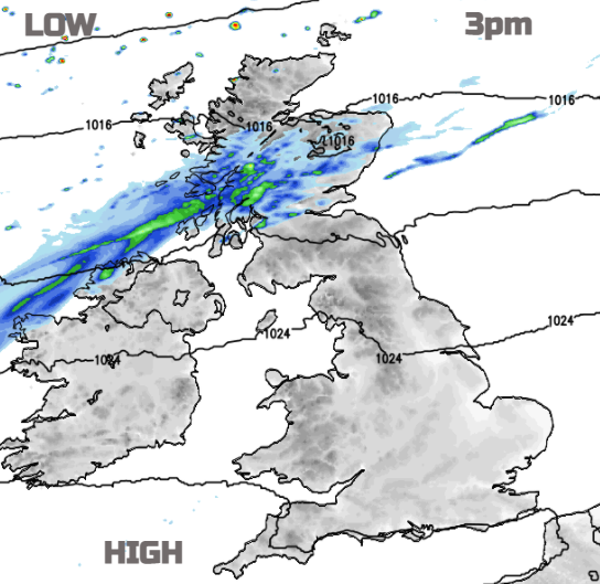
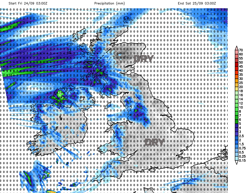
During the rest of today, it looks set to cloud over in most parts of Scotland as a front heads slowly south-eastwards, with an associated band of rain. The rain will clear from northern Scotland during the day, and will head into the Scottish Lowlands during the afternoon and evening, though tending to fizzle out as it does so, and to the south of the Central Lowlands, some places will stay completely dry. However, some sheltered eastern parts of Scotland will continue to see some bright or sunny intervals. Some rain will also reach the north and west of Northern Ireland, but it will be dry with some sunny intervals towards the south-east of Northern Ireland.
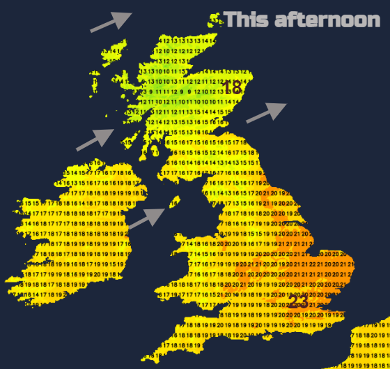
For a large part of England and Wales it will be another warm dry sunny day, with cloud in many western areas tending to break up. Most central and eastern parts of England will stay sunny throughout the day with just a little patchy cloud. Correspondingly, these areas will have today's highest temperatures, with highs of 21 to 23C widespread, and locally hitting 24 or 25C. It will also be quite warm over much of Northern Ireland with highs of around 20C. West Wales and eastern Scotland will be cooler, with highs of around 16 to 18C, and it will be cool in the west of Scotland with maxima of just 11 to 13C in some places.
Overnight, cloudy skies will continue to head south-eastwards from southern Scotland, keeping temperatures over central and northern England relatively high, falling no lower than 12 to 14C, but lows of 10-11C are likely over inland parts of southern and south-eastern England, under clear skies, and minima of 9 to 11C are expected over much of Scotland.
Thursday will be a dry day with sunny intervals in north-east Scotland and, after a cloudy start, it will be dry and mainly sunny over much of England also. However, cloud and some light rain or drizzle will affect western Scotland, and other western areas will stay mainly cloudy for much of the day. This will again be reflected by the maximum temperatures, reaching 21 to 23C over much of central and eastern England, but only 11 to 13C over much of western Scotland and Cumbria. The general northwest-southeast split will continue for Friday, with most eastern parts of the UK, especially the east and south of England, having plenty of warm sunshine, but cloudier weather in the west with some light rain in western Scotland, Cumbria and the higher ground of west Wales.
The warmer, sunnier weather over the south and east looks set to spread to most parts of the UK during the weekend as the winds switch from a westerly direction to a southerly, the cloudy damp weather becoming largely confined to north-west Scotland. Temperatures will reach the low to mid-20s Celsius widely. There is potential for scattered, locally thundery, showers to break out particularly on Sunday, but it is probable that most places will have a dry sunny weekend. There are signs that the weather will turn more unsettled from the west into next week, but there is some uncertainty over this.


.png?w=350)