A fair amount of cloud about on Saturday with a scattering of showers but more settled by Sunday with a shift in wind direction. Not as hot with weekend temperatures around 20C
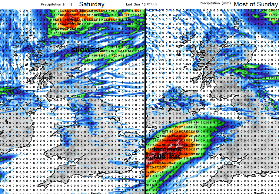
This weekend there will be some drier, more settled weather around. Earlier this week we saw temperatures just over 30C. For this weekend, it will be the high teens and low twenties Celsius. So still feeling warm in the sunshine with light winds but overall cooler and fresher than it has been. There will be parts of the UK with more cloud and lingering showery rain on Saturday.
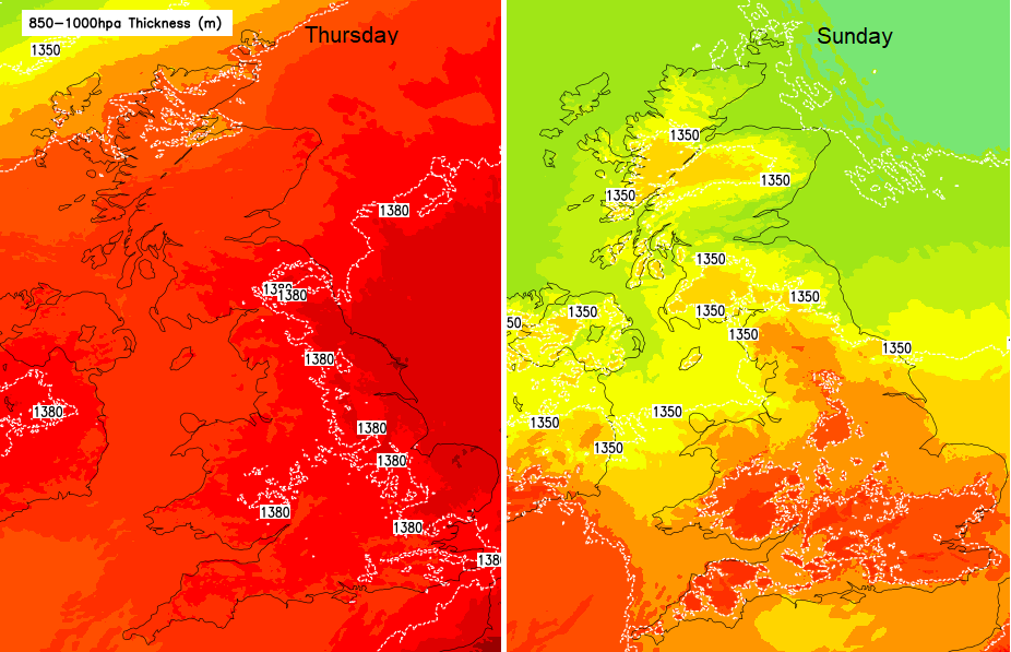
Change in airmass, from the hot and humid air earlier this week to a fresher feeling, closer to average weekend.
London will be around 22C, Belfast and Glasgow 18C on Saturday. Norwich 23C on Saturday and Cardiff 21C on Sunday. With a light to moderate westerly wind those areas still under the cloud, or coastal murk on Saturday with showers could feel cool for a time. Eastern England and the Southeast will still see the highest temperatures and feel warm on Saturday.
Northern Scotland will still have more cloud, a cool NW wind and some heavier showers. Northern Ireland and northern England start off grey and murky too with outbreaks of showery rain. For the rest of England and Wales, there will be some brighter spells and by the afternoon glimpses of sunshine, especially over SE Britain.
Though Saturday night the low pressure responsible for this week's showers begins to drift away to the northeast. Outbreaks of rain continue in the north overnight but breaks begin to appear in the cloud cover. So by Sunday morning, there will be sunshine appearing for eastern Britain, inland Wales and southern England. The winds will be light and variable by then. Although a slight breeze off the North Sea picking up for NE Britain.
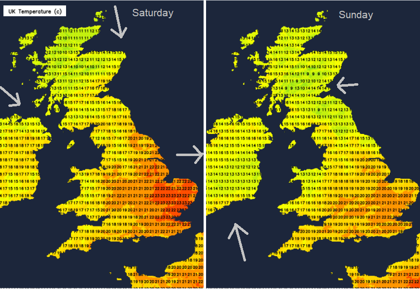
So a change in wind direction to bear in mind if you are heading to the coast this weekend.
Pressure is rising, briefly and Sunday looks to be a fair, settled day for most with sunny spells and early mist inland. There could still be a few scattered showers and more cloud lurking for inland northern England and southern Scotland, just not the extremes of weather that we have seen this week. No heavy, thundery downpours and no return to that early week heat.
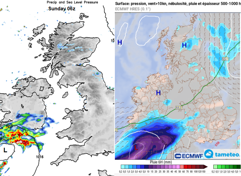
Uncertainty in the weekend forecast surrounds rain approaching from the southwest on Sunday. The warm front from a low pressure out in the Atlantic looks to reach up but there are some timing variations between the forecast models. So for SW England and western Wales, also the coast of NW England this will be something to watch as the weather could become cloud and damp and then wet to end the weekend.