After a dramatic day of heat and storms yesterday, there's more to come today albeit any storms are likely to be more isolated and not as severe as yesterday.
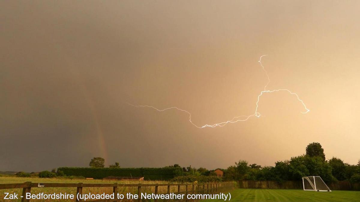
It was a dramatic day yesterday, temperatures peaked at 32.2c in London - the hottest of the year so far, and eastern England saw some spectacular but severe thunderstorms. For those in the firing line, there was large hail, frequent lightning and torrential downpours, which brought flash-flooding. The heat and storm risks are still with us today, although the storms that develop are unlikely to be as severe as yesterday.
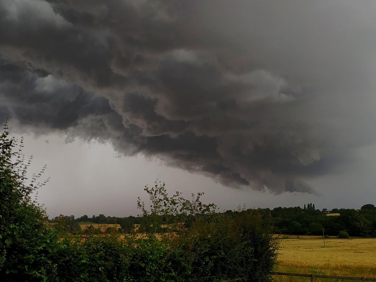 Photo by Poseidon in of a storm in Essex yesterday.
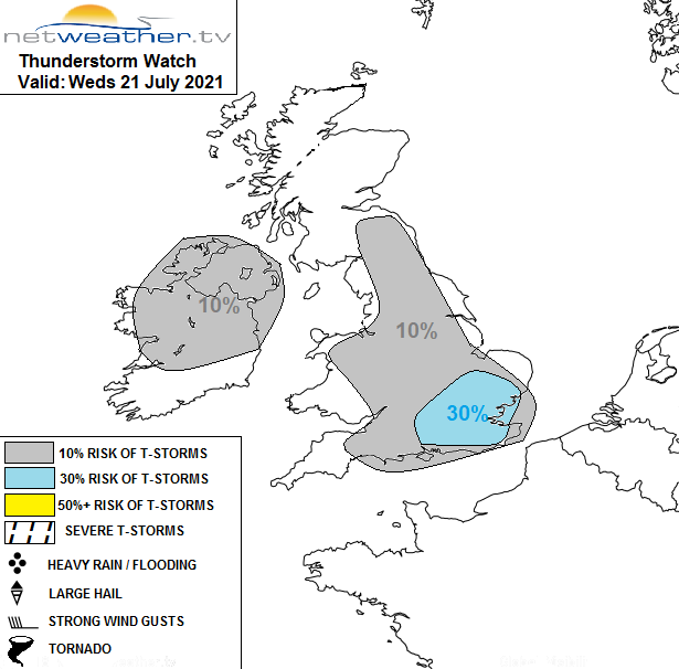
Today's storm risk will be a little more widespread in terms of area, with much of England, Wales, Northern Ireland and the northern half of Southern Ireland having the potential to see one. But they are likely to be very isolated in nature, with most of the risk zone seeing a 10% risk of catching one. The southeast of England is the most likely region, with a 30% risk. For the vast majority, though, it'll be another dry, hot and sunny day with temperatures again peaking in the low-thirties. Thanks to an onshore breeze, the east coast will be cooler, as will the north coast of Scotland, with more cloud around here.
A storm forecast has been issued for today (thanks to Nick as ever for these - he was bang on the money yesterday!).
Away from eastern and northern facing coasts, another very warm, muggy, uncomfortable type of night follows. Some low cloud and murk are likely to creep inland across eastern Scotland, maybe northeast England overnight, and that could take a short while to burn back to the coasts on Thursday morning. But again, for the majority, the sun will be out to start the day and will stick around for the duration. Some high cloud will start to push up from the southwest, though - a sign of change on the horizon. And, there will be the threat of further storms and showers breaking out in places as the day wears on. They may be less isolated tomorrow as well. Temperatures will again head up into the high-twenties or low-thirties - probably making it the final day that we hit 30c during this spell of weather.
By Friday, with low pressure nearing from the southwest, there will be a keen east wind across all parts. That's likely to bring more cloud inland and keep a lid on temperatures further east, but it'll be another sunny, very warm or hot day in western and central regions, with maxes into the mid or high twenties.
Change will be edging closer through the day, and we will need to keep an eye out to our southwest as that low pressure edges closer, destabilising the atmosphere and perhaps feeding some thundery showers northeast later on.