High pressure is in charge of the UK's weather at the moment and will stay that way through the weekend and into next week. But, it's not quite strong enough to keep complications at bay, so each day there will be the threat of sharp showers in places.
Pressure is high at the moment and will stay that way through the weekend and into next week, so there'll be a good deal of fine, dry, warm and sunny weather. But, it's not quite strong enough and not centred right over the British Isles, so complications in the form of rain or showers can and will crop up from time to time.
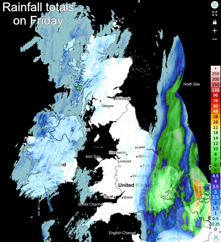
Yesterday was a prime example, as most of the country enjoyed a fine, often sunny day, the southeast and East Anglia got tangled up into a moist, unstable plume of air off of the continent, which brought a full day of persistent rain, virtually.
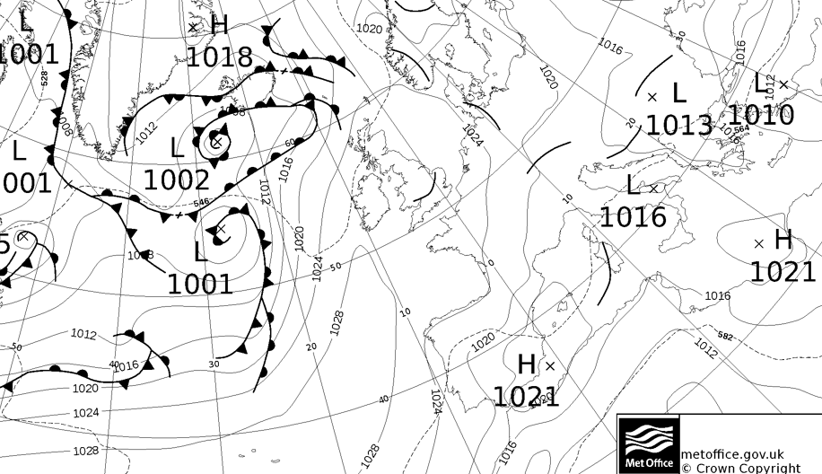
Today (Saturday), even though the Azores high is ridging up toward the British Isles from the southwest, it's those in the west who will be at risk of seeing some showery rain. That's thanks to an Atlantic weather front connected to low pressure south of Iceland, which will be edging in across Ireland and into the western fringes of Britain during the day. Some heavy, thundery showers are likely to be triggered in parts of Ireland, with the risk then extending into Wales and western Scotland. Further south, some more general rain, which'll have some heavy bursts within it, is likely to arrive into the southwest of England later.
All the while, central and eastern parts of the UK will be warm and sunny with highs reaching into the low, even mid-twenties.
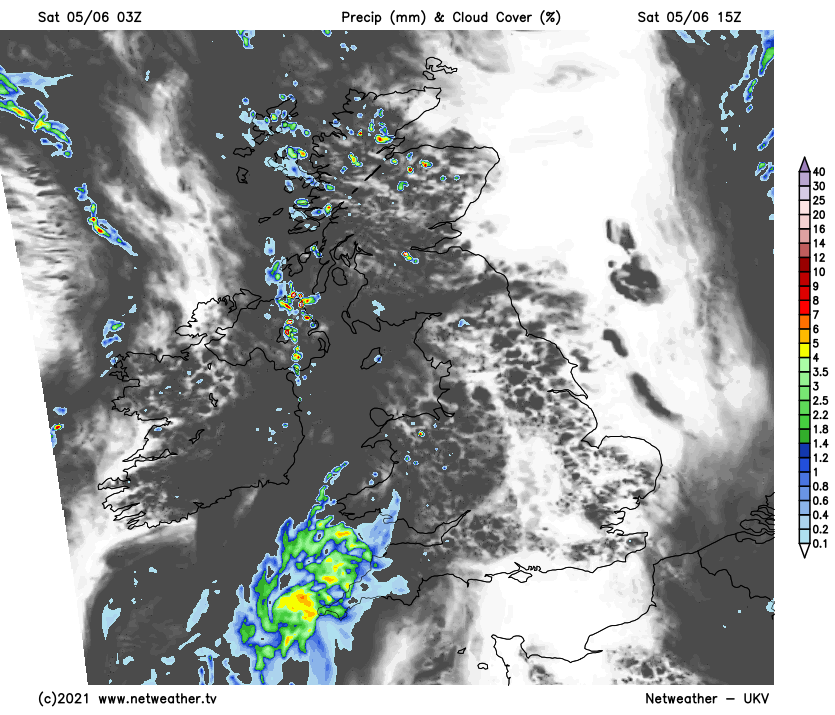
The front will continue on its way, heading east this evening and overnight, bringing some sharp downpours across into other parts of Scotland - particularly the northern half. The rain in the southwest will also stick around, turning more showers but heading inland through to central England. Some showers may also affect northern England at times as well.
Sunday continues with that same sort of theme - lots of warm sunshine for many areas, but with some parts at risk of some sharp, thundery downpours. This time around, with Saturday's weather front having cleared through, it'll be a small disturbance (a trough - as shown by the 'smile' over central England on the map below), which'll serve to trigger some hefty downpours. Not just in central parts, but some will also potentially develop either side of it as well.
By Monday, we'll still have high pressure running the show, but it'll not be strong enough to squash the shower threat. So, whilst there'll again be plenty of sunny spells with temperatures climbing into the high-teens or low-twenties, there'll be the threat of some downpours through the day - especially into the afternoon as the warmth gives the atmosphere some extra energy. The showers and thunderstorms that develop are likely to be quite isolated in nature, with central and eastern England at the highest risk of catching them.
Then, from Tuesday and through midweek, we're still in that middle ground. Yes, high pressure will still be quite dominant and will even be trying to strengthen from the south, but all the while, it won't be strong enough to stop Atlantic systems from trying to make inroads from the west.
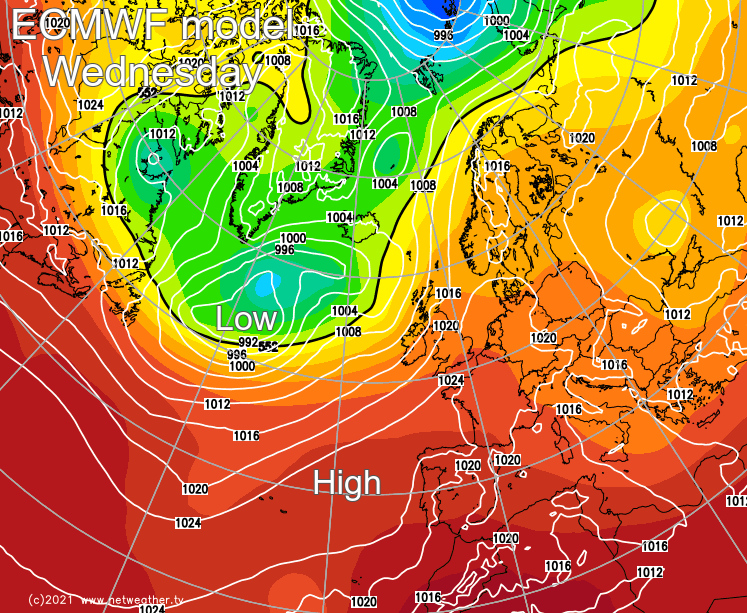
So, there'll still be plenty of fine weather around, but it'll be western regions often at risk of seeing more cloud and some showery rain, with the best of the sunshine and warmest temperatures further east. But, with that warm sunshine, there may also be the risk of one or two showers or storms breaking out here as well.