More April snow for Monday morning with a widespread frost. If you have outdoor plans this week, the chill in the air remains especially once the sun goes down.
April continues with cold air, strong sunshine and even snowfall this morning. It will feel warm in the sunshine but in the shade or the evening, sitting out remains most chilly.
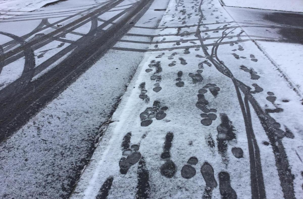
There were plenty of snow showers from the north at the weekend, and for Monday morning, there is a weather front bringing cloud and a little patchy rain to Northern Ireland, but over Wales and southern England, there has been icy rain and snow in the mix. A cold start with hard frost for northern Britain and temperatures down to past -9C in Highland Scotland.
This snow doesn’t amount to much; if it manages to settle on the cold ground overnight it will soon disappear with the sun on it. There will be more frosts this week. High pressure is building over the UK, which will bring settled, fair conditions, light winds but more cool air. Daytime temperatures today will be around 8 or 9C, rising to about 13C this week. That’s below or near to average for this time of year. It isn’t a completely dry forecast, though but the startling differences in how it feels out there continues.
If you find a sheltered sunny spot, and with this week’s light winds that is probable, then it will feel warm enough to take off your coat. However, with increasing cloud, or as a shower passes by and the skies darken, then the true air temperature gives you a reminder that this is still early April, and you’ll have to put it on again. With another step in lockdown-easing today for England, anyone who has a new outfit for the pub, the pub garden that is, will need a thermal layer underneath and to steel themselves as that air is cold. Once the sun goes down, those temperatures will fall, and the frost returns. Take your big coat, all this week, just take your coat.
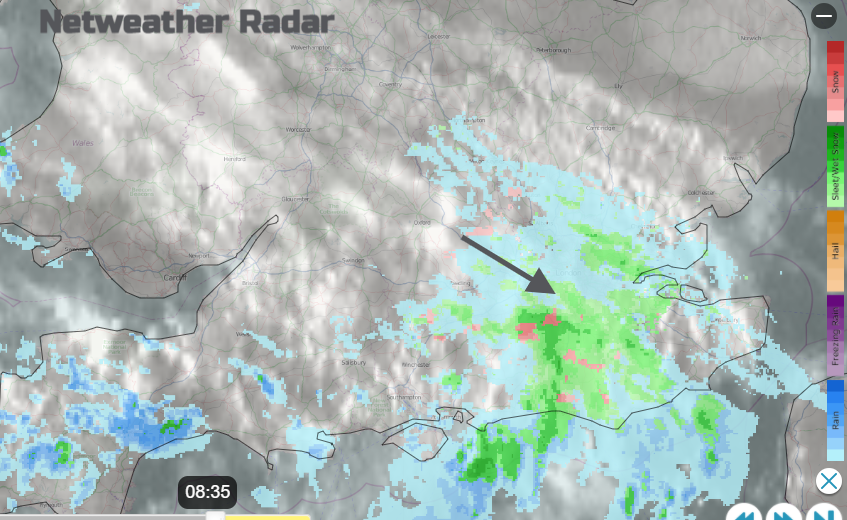
Low pressure to the south of Iceland has dangled its frontal band over Ireland during the night, and it is this which is bringing more cloud and wintry precipitation over southern Britain. High pressure builds in, so the nippy north wind along the North Sea coasts will ease off. The blue skies and sunshine continue for Scotland with a few wintry showers in the far NE and clear skies for northern England, the Midlands and into East Anglia.
It will be bright and fine for Wales and the rest of England as the wintry weather clears away to the south and the cloud cover lifts and breaks. A scattering of showers remain in the south, of rain with a little wintriness over any hills, but they become more scattered through the afternoon. Most see a fine but cold Monday with any showers in the SW trundling by in the light winds; you’ll notice the darkening skies and looming clouds, it will rain then back to bright weather again. Northern Ireland will see more showers over Fermanagh, Armagh and Tyrone throughout the day. Brighter skies for the north and east.
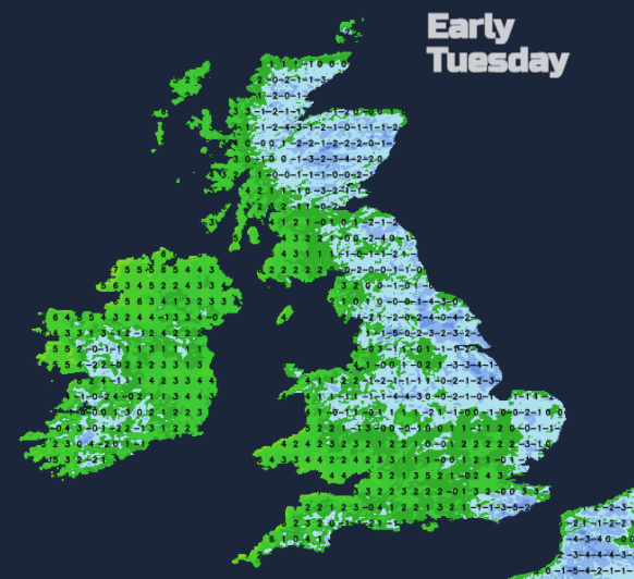
Overnight there will be some lingering high cloud in the south and west of the UK which saves the temperatures from falling too far. Again, there will be a frost with hardly any breeze and some fog patches.
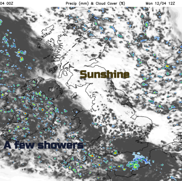
The frontal band remains into Tuesday, weaker but still enough of a feature to produce showers. Western Scotland, Northern Ireland, NW England and by the afternoon convergence lines allowing showers over Wales and southern England. Many areas stay dry and bright with sunny spells away from the main shower clusters. And that is how the week continues, settled, mostly dry and bright. Sunny spells giving warmth in light winds but still cool air and frosty nights.