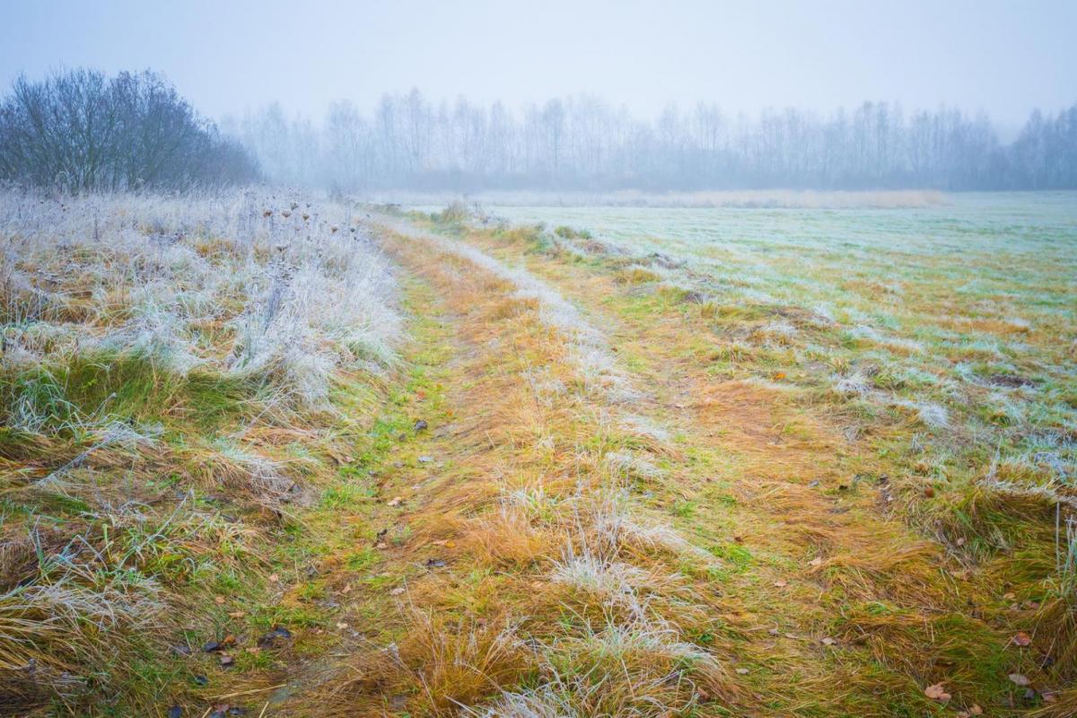
High pressure will bring more settled, dry weather and a change in air mass means less low cloud and gloom. Clear skies bring frost but also more sunshine this weekend.
High pressure is right over the UK today bringing more settled steady, dry weather. There will be a shift by the weekend away from the grey, dull skies that have affected many parts of the UK. Not all though, there has been some glorious sunshine often for western Britain. This lingering featureless greyness is known as ‘anticyclonic gloom’ (to sit alongside ‘pandemic fatigue’) and although we didn’t need any more rain, a change to spring sunshine won’t go amiss. The cold front that worked south yesterday has allowed a different air mass over the UK, Arctic Maritime air and it won’t be as murky.

The winds are very light to start the day with some lingering cloud about with temperatures just above or at zero. Although NW Scotland has seen a frost and been down to -5C. There are a few showers caught up in the gentle flow; clipping eastern Aberdeenshire, NE England down to Hull, the Scottish Borders and with more of a breeze, Kent in a north-easterly. There have been a few wintry bits mixed up in these showers over the hills, bit of snow and sleet. There will be a brisk easterly through the English Channel and a cold feeling day for Jersey and Guernsey. Temperatures for the UK today will be around 6 to 8C, feeling okay in the sunshine but still cold for the grey, damp areas.
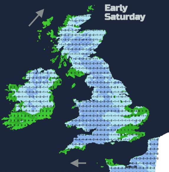
After a fair day it will be cold tonight under the clearing skies and with light winds. There will be a widespread frost. Saturday starts chilly but sunny. There could be a little early fog. Cloud will build up during the day over England so not as sunny by the afternoon. NW Scotland will see more cloud and even a little light rain caught in the fresh south-westerly flow with the high centred over the Midlands. The lightest winds are then over southern Britain with temperatures of 6 or 7C and a light SW to westerly wind over Northern Ireland and northern Britain, around 7 to 9C.
It will be cold again for Saturday night but cloud and even some rain will topple in from the far NW bringing more cloud to Northern Ireland and Scotland, so not as cold by morning. Much of Wales and England will have a frost with calm, clear weather.
For Sunday, another fine, sunny but cold day for southern UK, bit more cloud in a SW flow further north but temperatures up to 10C in brighter areas. Cold under any onshore cloud cover though.
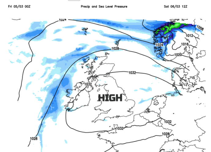
The high just sits over us during the weekend, not really changing until early next week when it looks like the Atlantic takes over again with a deep low pressure to keep an eye on by Tuesday into Wednesday. A change to strong winds and heavy rain.
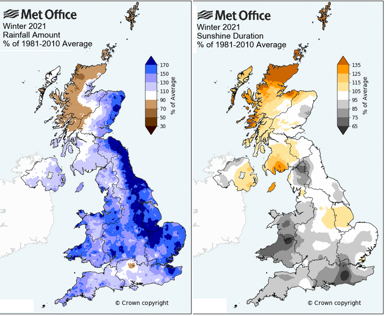
The Met Office figures for February and winter were recently issued. They showed the extraordinary amount of rain over eastern Britain and also some parts of the West Midlands and Wales which lead to flooding. Tyne and Wear had it’s wettest winter on record. This dry spell and high pressure are a welcome respite.