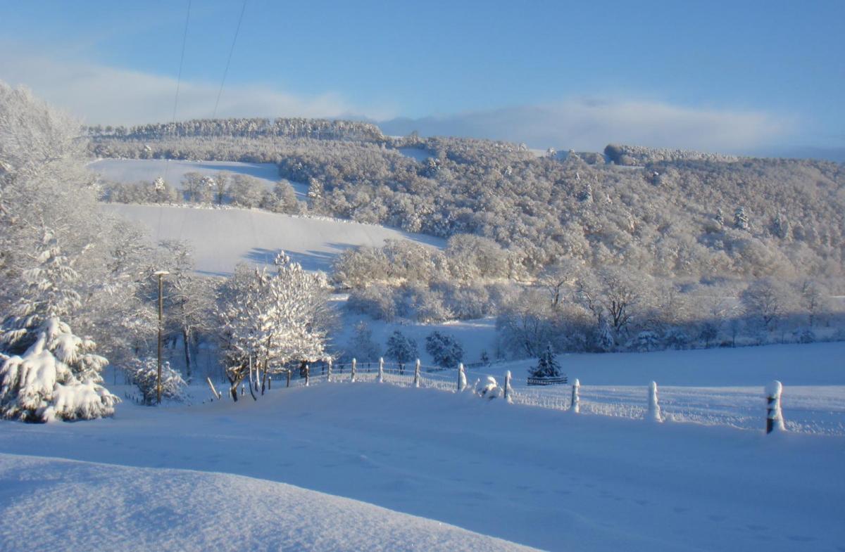
Bitter cold and significant snowfall are forecast for more of the UK by Sunday as parts of Scotland continue in blizzard conditions thanks to the cold east wind.
We have quite a week of weather coming up, with significant snow. Even more rain initially, with the ongoing flooding concerns, but as much colder air takes hold from the east snow and ice will be the main weather news. And in the UK when we hear talk of snow, we often imagine wet, slushy rubbish snow that soon turns to rain, unless you live on the high ground inland. However, much colder air is heading in from the east, right down through the atmosphere, bitter cold, and that means proper snow.
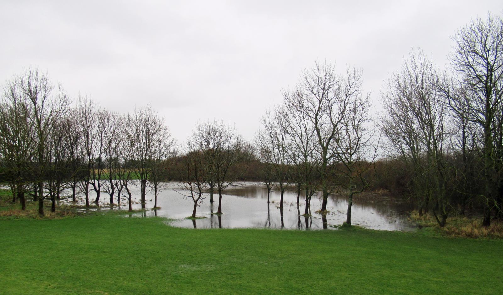
Northern mainland Scotland has already seen a lot of snow with drifting and disruption on the roads and railways. Through the Central Belt and southern Scotland, for eastern counties of Northern Ireland and particularly Northeast England there is still more rain to come. The ground is soaking, river levels high and the ongoing rain is likely to cause flooding and disruption in places.
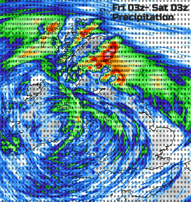
A low pressure over Ireland today has been dominating our weather all week. It’s near stationary frontal bands over Scotland have brought the heavy snow and rain. Also, kept cold air to the north and the much milder air to the south. There is a high pressure between Greenland and Scandinavia which edges closer to Greenland next week. The lingering low does swing away southwards but ends up over the Low Countries and interferes with a more straight forward easterly flow forecast. It looks like it's going to introduce a lot of moisture into the colder mix and all of that will then head over the southern North Sea to East Anglia and the Home Counties. Some forecast models are producing a lot of snow for SE Britain from this.
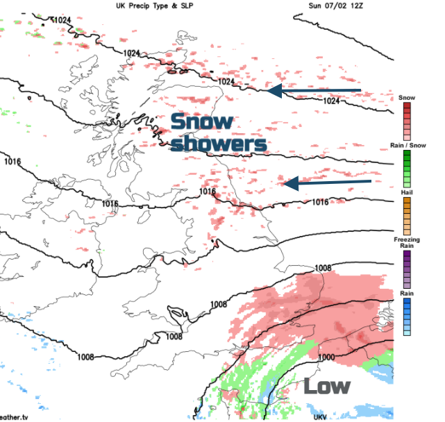
Elsewhere we still have the northern frontal band which looks to focus the snowfall over north-eastern Scotland by the end of today with icy rain and sleet for Fife, southeast Scotland and Northeast England, snow on the hills. And by the weekend, for the northern half of Britain, things become simpler with a bitterly cold easterly flow bringing snow showers off the North Sea. That easterly, very cold flow looks set to continue well into next week. Other bits add into that picture, particularly the SE snow low but the overall main theme is much colder air making the precipitation snow, not rain, and the source of this is from the east which means western Britain, areas sheltered by the Pennines, the Welsh mountains and most of Northern Ireland won’t be in line for most of the showers. A few will make their way across the Irish Sea.
The main process here is cold air moving over relatively warmer water, it’s unstable so there is overturning, convection occurs, and showers form. It’s so cold, there is snow. Lake effect (or in this case sea effect) snow.
Friday
Northern Ireland, Wales and England still quite mild with light winds, temperatures of 6 to 11C. Bands of showery rain nudge around the low with heavier bursts of Wales and SW England. More rain or snow for NE Britain with heavy snow for Grampians and blizzard conditions. It stays windy and cold even strong, gusty to gale force easterly for coastal and over the mountains, horrible conditions.
Overnight as the low swings round the showery band of rain moves towards through the Midlands into northern England, colder for SW Britain with frost and some murky conditions.
Saturday sees more rain for eastern England, still snowing for inland NE Scotland and a wintry wet mix for NE Britain, snow on the hills. A cold east wind over northern Britain and Northern Ireland, still mild in the south and as the low moves to the south around that bands of rain will pull across southern Britain later on Saturday with snow over the Peak District and Welsh mountains.
Sunday
This is when things get interesting for SE Britain. The cold air will be reaching right down through the UK, the rain overnight turning to snow. Sunday, with snow showers continuing into Monday, looks to be the most disruptive time in this wintry event for southeast England and East Anglia. There is still some uncertainty about how far north and west any snow will reach. Kent, Essex, E.Sussex should see several cms although, but the land can cause the flow to line up with some places seeing a stream of snow and others missing most of it. Parts of Suffolk and Norfolk look to get clobbered from the east on the latest GFS and ECM model output.
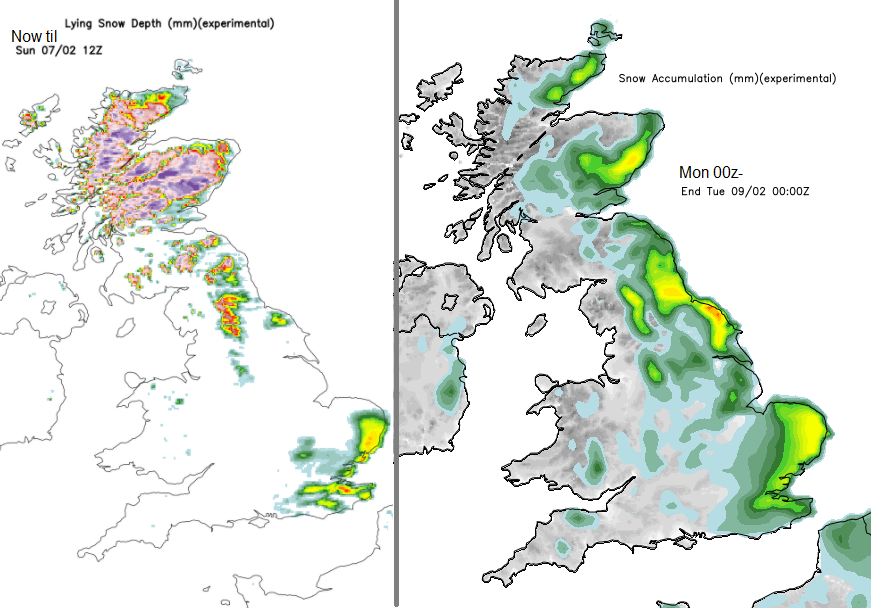
Braemar in Aberdeenshire has already seen 50cm of snow with more to come today.
Yellow or Amber, both are warnings of severe weather. Even outside of a yellow warning you could still see some snow, just the impacts have been considered by the Met Office to be less. Inside a warning area, you are not guaranteed snow just that you are in an area where it is more likely and could cause disruption. Considering the ongoing COVID situation, the advice about only essential travel becomes even more important with this upcoming snow.
Everywhere will be colder, there will be ice and a brisk east or northeast wind. Do not underestimate the bitter cold as we head into the new week.