No more snow today but there is Ice to watch out for. Another band of rain will hit the cold air over Britain tonight so snow for northern hills. Then Yorkshire again and East Anglia by Saturday morning.
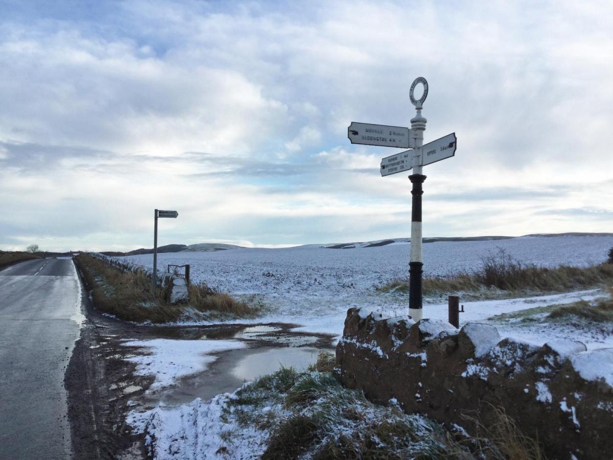
It’s cold out there with frost, ice, and fog in places. The lying snow remains from yesterday for many inland parts of eastern and northern Britain but is more of a mushy slush at lower levels now.
Temperatures over the Pennines have dipped to around -12C. With all of yesterday’s rain and snow, there is a lot of water about and more flood alerts and warnings have appeared. There is another band of rain heading in from the Atlantic tonight bringing a bit more snow to northern hills tonight. As it hits the cold air over eastern England on Saturday morning there could be sleet and snow, even to lower levels just for a time.
The winds pick up from the south during Saturday then veer to the west on Sunday still with wintry showers for the hills of NW UK. Pressure builds in the south settling the weather down briefly but as a new low pressure heads up from the SW there will be blustery winds, another clash of rain against cold air by Tuesday and then more of a chill as the week progresses with gales possible.

Today
There is a mixture this morning of bright even sunny spells, fog, freezing fog and lingering low cloud for others. Temperatures around freezing inland but much lower where the snow lingers for Yorkshire into NE England and the Pennines to start the day. With light winds temperatures will rise to about 5C but hovering just above freezing for areas with snow or lingering low cloud. No more falling snow today after yesterday’s excitement.
The incoming cirrus is already over Northern Ireland but there is a quiet start, cold with fog but the southerly breeze will pick up by this afternoon as the cloud thickens and lowers. Milder by this evening as the rain arrives. However, temperatures over Britain will be at or below freezing this evening away from western coasts.
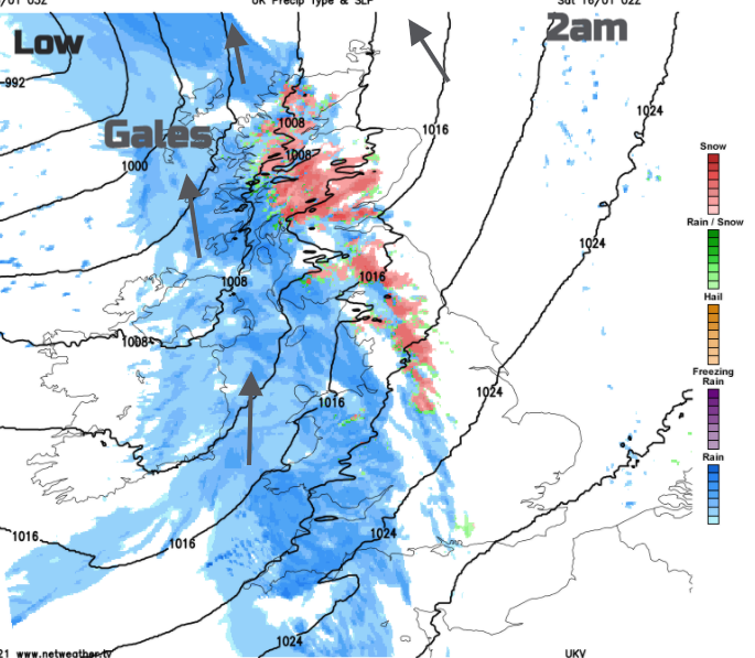
Quite a change overnight as the southerly winds pick up, cloud increases from the west and the frontal band moves in. As this hits the cold air again, there is the risk of snow, mainly over 300m around midnight for the hills of NW England, western Scotland and Welsh mountain tops. A wet and wintry mix as it moves over more of northern Britain and the Midlands.

It will feel quite horrible if you have to go out early on Saturday. Cold, blustery with icy rain or wet snow. Northern Ireland will have brighter drier start after a wet night. It will also be mild with a light west wind. Places like the Yorkshire Dales and North York Moors, inland East Riding of Yorkshire will see more settling snow, but the forecast is tricky for those waiting with a sledge further SE as milder air is following from the west and there will be rain too.

It does look like Saturday morning will bring a wintry mix for eastern England as this frontal band slides eastwards over Lincolnshire, East Anglia and even the Home Counties. This will include a few cms of lying snow likely for the Lincolnshire Wolds, inland East Anglia, even possibly reaching the North Downs. Elsewhere for SE Britain, you might see a bit of snow early in the day til lunchtime, flakes whirling about, but it will be soggy and slushy on the wet ground. And then turn to rain.
Behind the rain band will be brighter, milder weather with a westerly wind. Sunny spells but wintry showers for the high ground of NW Britain. Here the winds will strengthen with heavier bursts moving into the NW Highlands overnight.

Temperatures fall away during Saturday night with clear skies but stay just above freezing for most. The snow cover for northern England and inland Scotland will persist. Many places will have a fair Sunday, temperatures around 6 to 8C, not as windy with sunshine but clusters of rain showers will move in over Northern Ireland then across the Irish Sea. A chilly start by Monday morning.