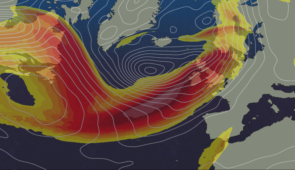
If you're hoping for some drier, quieter weather as we end this week and move through the weekend, it's not good news I'm afraid. In fact, the jet stream is going to get stronger into the weekend, firing a barrage of low pressure systems our way.
If you're hoping for some drier, quieter weather as we end this week and move through the weekend, it's not good news I'm afraid. In fact, the jet stream is going to get stronger into the weekend, firing a barrage of low pressure systems our way.
Today, we have the low pressure containing the remnants of hurricane Epsilon out in the Atlantic to the northwest of the British Isles. It's not going to move any closer than it is now, but it's still close enough to be the driver of a blustery, showery day today. The showers may merge into longer spells of rain at times, and there'll be some heavy, squally ones in the mix with hail and thunder possible at times. Definitely a day to keep an eye on the radar if you're planning to head outdoors.
With the showers and gusty winds, it'll also be a cold feeling day, with highs of 8-12c at best, and feeling cooler still in the wind.
Some showers will continue in the north and west overnight, but many parts will dry out with clearer skies breaking through. The next spell of rain and wind will already be making a move during the night though as a small area of low pressure heads in. The rain will move into Ireland first, before crossing up from the southwest into England, Wales and Southern Scotland on Tuesday morning. The rain will be along a warm front, with the heaviest outbreaks on western facing hills as it traipses further northeast through the day.
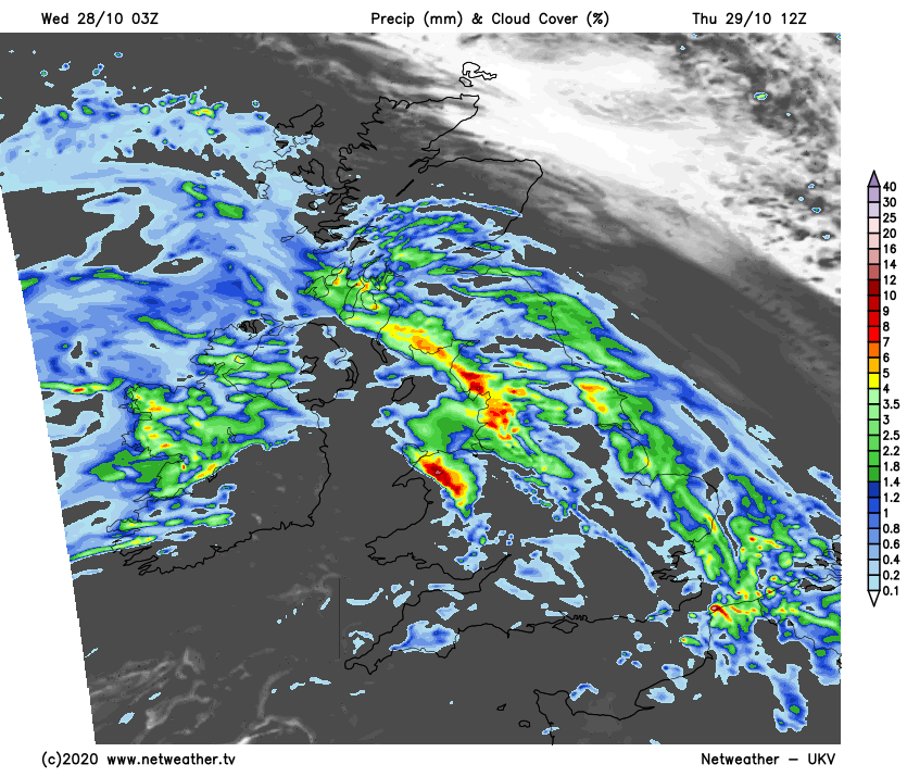
The winds will be stronger than they have been today, blowing up from the southwest, with the strongest gusts of 50-65mph across exposed parts of Ireland and up through western England and Wales. Once the rain clears northeast, milder but cloudy, murky weather, with more showers, especially in the west, will be left behind.
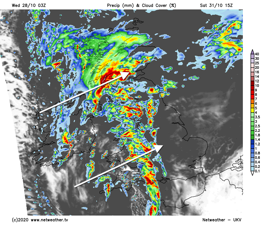
After a mostly cloudy, mild night, Friday brings a north-south split. The northern half of the UK, and particularly Scotland should stay mostly dry with some sunny spells. Although there will be some showers here and there, especially in the north. Further south, another front will be moving up from the southwest, bringing outbreaks of rain with it. The wet weather will be quite patchy in eastern and central parts, with western parts liable to see the more persistent heavier rain.
The rain will continue to push further north into the evening and overnight, with further heavy downpours joining it from the southwest as the next system nears. More, at times, heavy rain then crosses the country from the west during Saturday, accompanied once more by blustery winds.
Then, Sunday is a day to keep a bit of an eye on as a developing area of low pressure is set to swing very close by. Bringing more rain and potentially also gales or even severe gales in places, which will stick around into the start of next week.