From and extreme heatwave earlier this month, to severe thunderstorms, then two named storms, then a cold end to month with frost, September looks to start on a more benign note.
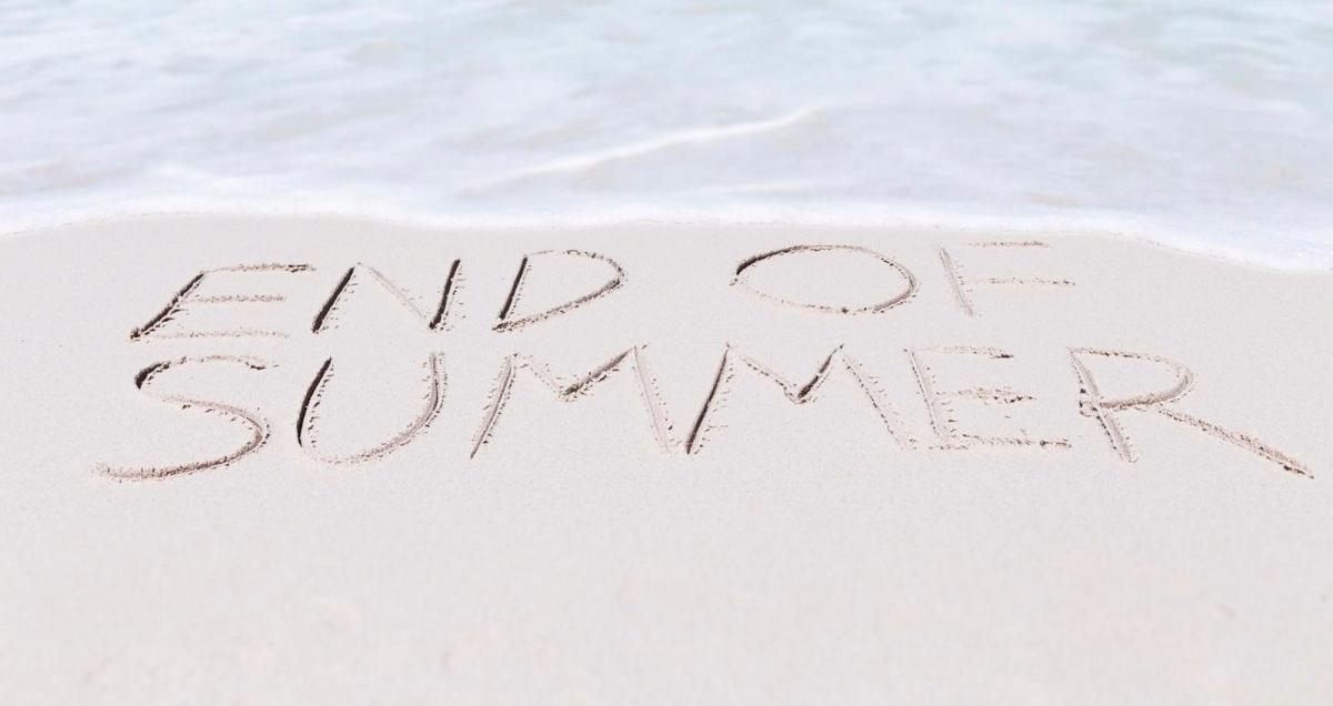
As August draws to a close, the last month of summer will certainly be remembered for its extremes of weather, especially the extreme heatwave at the start of the month, which saw 6 consecutive days in a row reach 34C in the south, 5 ‘Tropical Nights’ where the temperature didn’t fall below 20C overnight. The heatwave culminating in 36C reached on the 7th in London and Cambridgeshire. The heatwave then broke down to a week of thunderstorms, some of them severe, bringing flash flooding in places. Then that was followed by two named storms that brought unseasonably strong and disruptive winds, the first time we’ve had named storms in August. But as the month draws to close, high pressure has settled things, but northerly winds this weekend have brought much cooler air, with below-normal temperatures, with the temperature at Katesbridge in Northern Ireland falling to -0.1C on Sunday morning. This late August Bank Holiday Weekend could end up coolest on record, this follows last year’s late August Bank Holiday that was the hottest on record when 33.2C was reached.
This year’s last day of meteorological summer ends on a dry and settled but cool note, with high pressure in control, which will keep weather fronts generally at bay until mid-week. With low pressure deepening out in the Atlantic later in the week, weather fronts will push east on Wednesday, bringing more in the way of cloud and outbreaks of rain for many.
For now, a cold start for many, but a bright one too with sunshine for many. Temperatures fell to low single figures across the north and west, falling to 0C in the Highlands in Scotland and close to freezing in northern England too.
The sun is still strong, so temperatures will recover quickly this morning, with most staying dry and seeing decent sunny spells through the morning, thanks to high pressure in control. The cloud will build through the afternoon, but it will stay mostly, just the odd shower perhaps across western Scotland and Northern Ireland. It will remain on the cool side for late August though, temperatures reaching 14-16C in the north, 17-18C in the south. If the temperature doesn’t reach 18.4C today, it will make it the coldest late August Bank Holiday Monday on record.
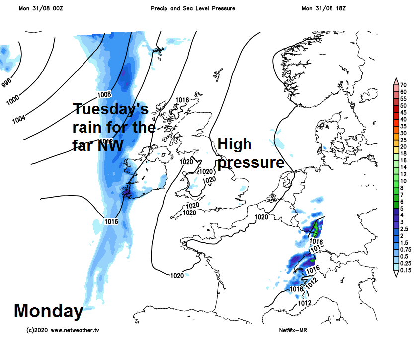
Staying dry for most overnight, though with a lot of cloud and flow turning southerly, it will mean temperatures not as cold as last night. Weather front arriving off the Atlantic across the far northwest will bring thicker cloud and drizzle or patchy rain overnight.
Tuesday should stay mostly dry, with variable amounts of cloud and sunny spells for England and Wales. Cloudier across Scotland and N. Ireland, with a stalling front across the far northwest bringing some patchy rain through the day across western Scotland and N. Ireland, perhaps some drizzle further east over Scotland, particularly over hills. Temperatures reaching 15-17C across Scotland, 17-19C for England, Wales and N. Ireland.
Rain gathering across the west Wednesday morning – which will be heavy across N. Ireland, western Scotland then NW England and Wales as it reaches here late morning. The rain continuing to spread northeast across northern and western areas into the afternoon, heavy in places. After a bright start, some patchy rain reaching southern and eastern England into the afternoon, but mostly light. With a strengthening southerly wind, it will be warmer for most though, temperatures reaching 16-20C.
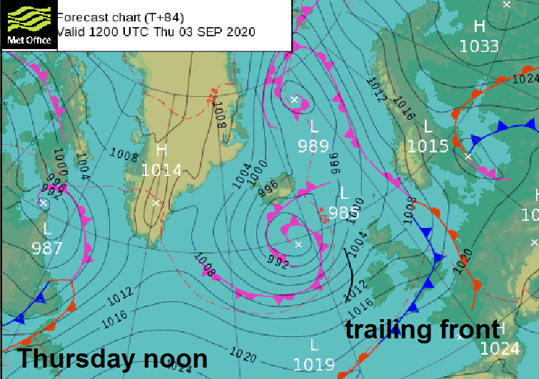
Some uncertainty later in the week how quickly weather fronts will clear away, but it looks like a trailing cold front across southern areas will bring cloudier skies and some occasional patchy rain on Thursday and Friday, while northern areas will be brighter and breezier but with some blustery showers passing through. Thursday maybe the warmest day of the week in the south, perhaps reaching 20-22C here before the front clears later on Friday, high teens elsewhere. Cooling down again thereafter into the weekend, with a northwesterly flow bringing sunny spells and a few showers.