Mixed weekend weather with showers and sunny spells. The strong winds are easing down, taking their time on Saturday and feeling fresher everywhere by Sunday.
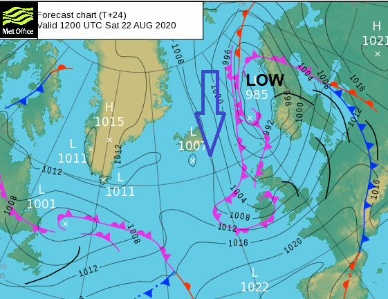
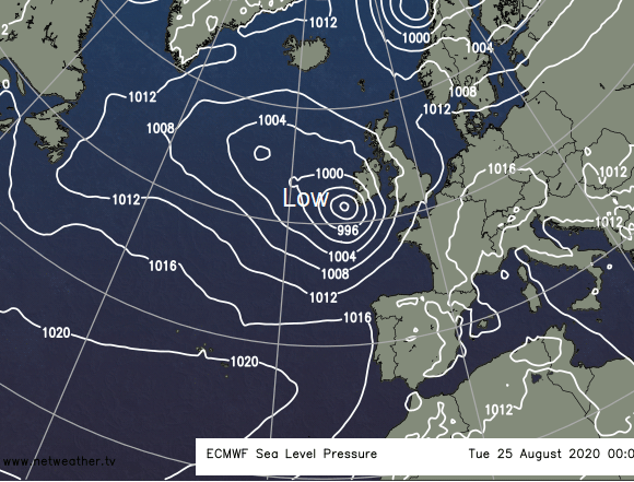
Storm 'Ellen', now to the North of Scotland, is moving away into the Norwegian Sea and as a result, the very blustery winds will steadily decrease over the weekend. You'll also notice it becoming somewhat cooler and fresher as winds turn into the West or North West, but with showers continuing for a while, mostly in the North.
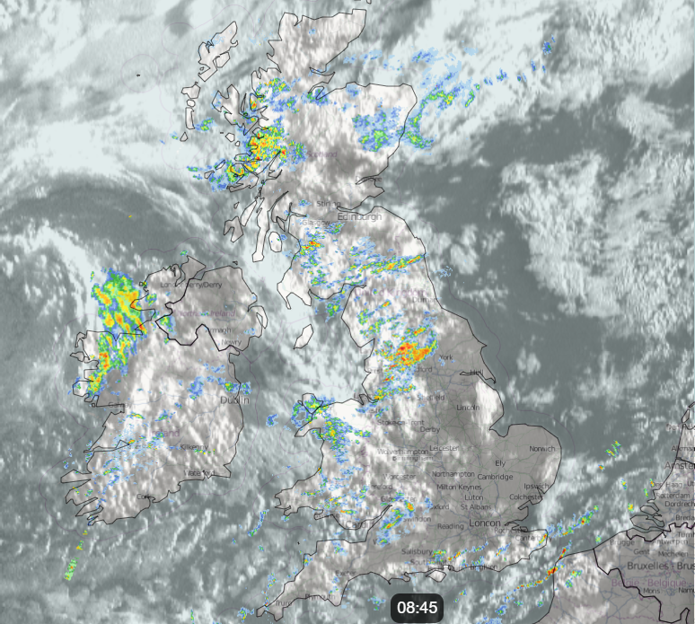
There are already some blustery showers this morning mostly in the North and West, but for central and eastern areas, in particular, it's a bright start with some sunshine. Further showers develop through the morning particularly over Northern Ireland, parts of Scotland and Cumbria, where some will be heavy and lengthy, giving local hail and perhaps thunder. Elsewhere, the showers will be more scattered passing by quite quickly on the wind. Not everywhere though will see them with the East and South best placed to miss them, where you should see the best of the sunny spells.
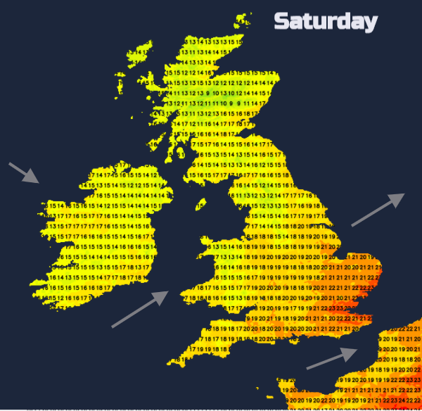
Although still blustery with a fresh to strong South West wind continuing to give gusts in excess of gale force in the West and over exposed coasts and hills, it won't be as windy as yesterday. Temperatures will also be down somewhat, with the wind 'veering' North Westerly and decreasing a little over Scotland and Northern Ireland later. Nevertheless and despite the wind, 19 to 22C in the East and South will still be close to normal for late August, with a cooler 13 to 17C expected further North. There'll be further scattered showers into the evening mostly in the North and West where they'll persist overnight, while the East and South, in particular, see sunny intervals to end the day and clear spells after dark.
A Southwest then West or Northwest wind will decrease a little further and may begin to feel chilly in the North but it won't be a cold night, with lowest temperatures in the range 8 to 14C. Sunday will dawn fine in many places, but showers will develop again. These'll be distributed somewhat differently, however, in a West or Northwest wind that'll be somewhat lighter than of late. Nevertheless, it could still be quite blustery in some of showers, the bulk of which should be over southeast Scotland, northern England and later across eastern parts. Again a few could be heavy giving local hail and thunder, while the South, much of Wales, the remainder of Scotland and perhaps Northern Ireland probably see fewer showers and more in the way of sunny spells. It'll be cooler though, with top temperatures 11 to 16C in the North and 17 to 20C in the South.
Further showers are likely into the evening mostly over the eastern half of England, but as a weak transient ridge moves across the country from the West, many of the showers will fade after dark. As skies clear and winds become light, a few mist and fog patches will form in rural areas towards dawn, but these will be short-lived. Later in the night, Tyrone and Fermanagh may see cloud increasing, but it should stay dry here until morning. Lowest temperatures 7 to 13C.
The new working week starts fine in central and eastern areas, but Atlantic systems soon bring more rain. Tuesday and Wednesday look particularly wet and windy, as another unusually deep depression for August crosses the country, followed by cooler but still showery weather later in the week. Not like late summer at all.
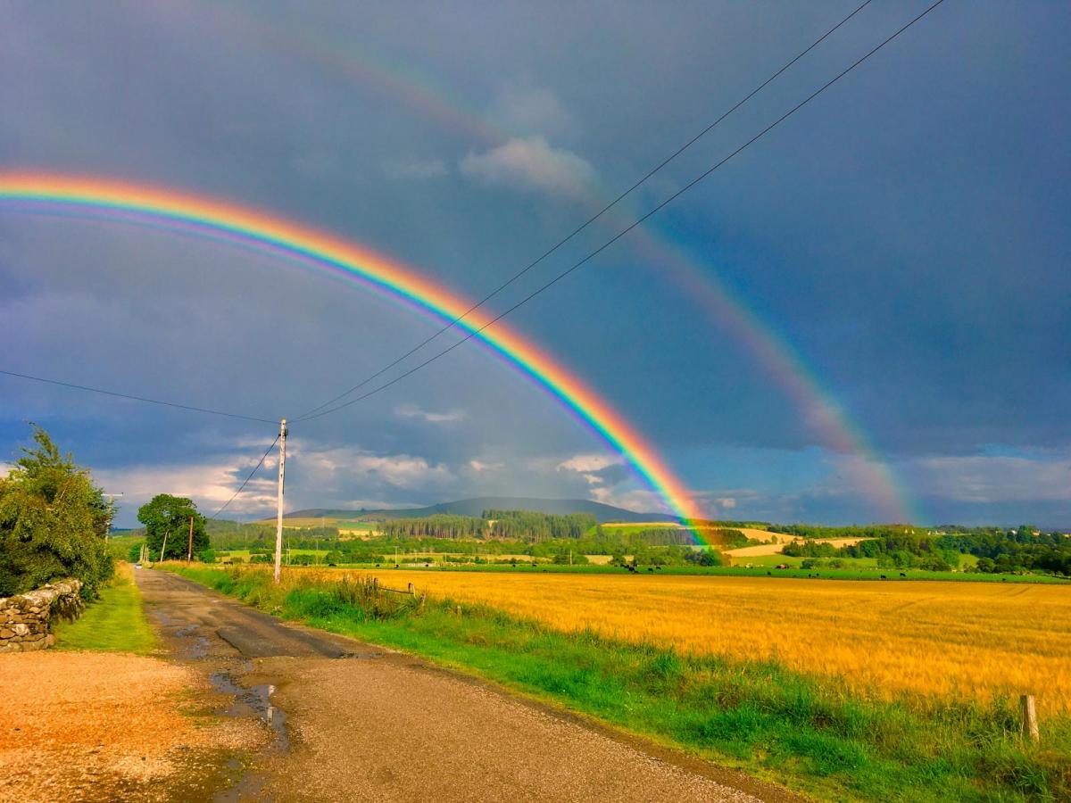
Top image P.Lee, Moray