The weather is now into an unsettled spell with further thunderstorms and torrential downpours during the next few days. Then, from midweek a deep low pressure will arrive onto the scene, aided by the remnants of tropical storm Kyle.
This time last week, we saw a top temperature of 34c and the start of an increased risk of thunderstorms, as the heatwave continued. The heat has gone now, but the threat of storms and torrential downpours is still with us, and is in fact, going to be enhanced today and tomorrow, as a shallow area of low pressure drifts north over the country.
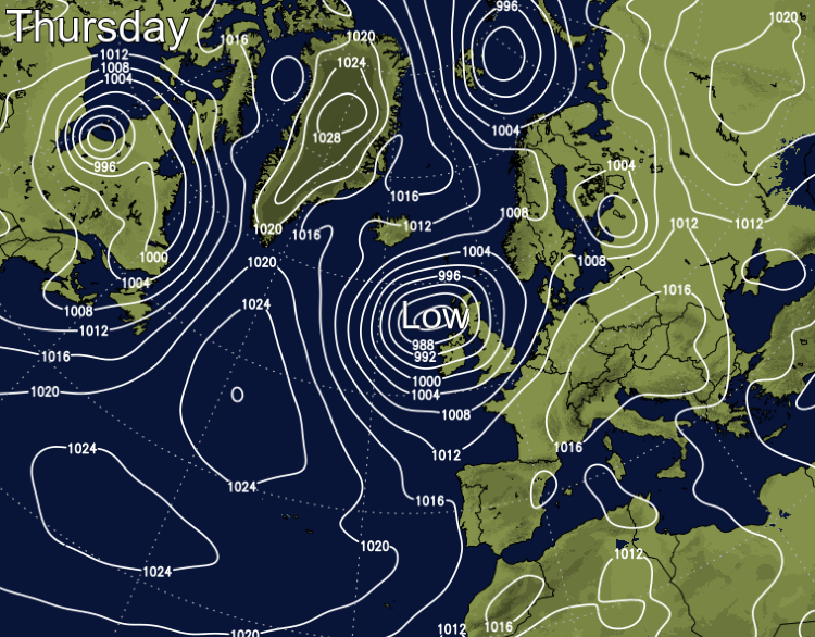
Talking of lows, Wednesday will see an unseasonably deep one approaching the UK and Ireland. Aided by energy from the remnants of Tropical Storm Kyle which will merge into it, there'll be strong winds, a couple of longer spells of rain and some heavy, blustery showers. Its effects are likely to be felt right through into next weekend.
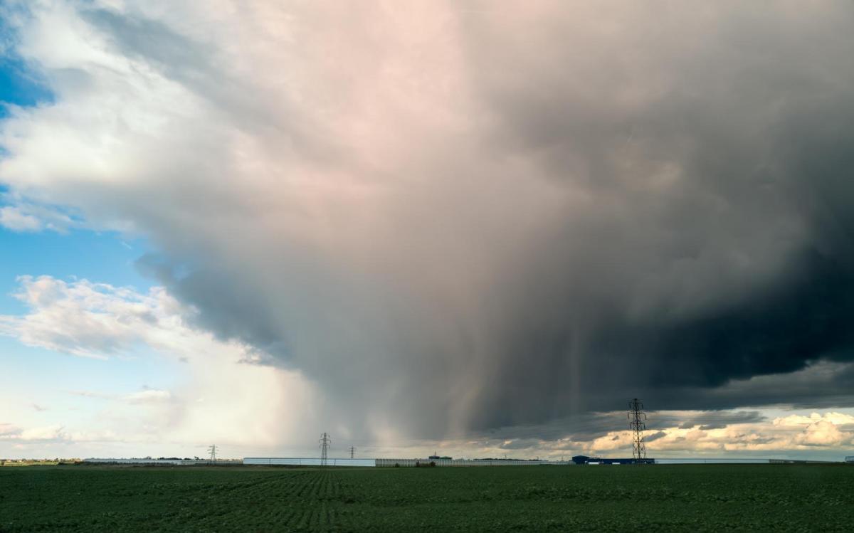
Today though, it's a day of two halves. The northern half of the UK, including much of Scotland and Northern Ireland, will stay mostly dry with long sunny spells in western regions. Further south, as pressure lowers, a day that has started as murky with some showery outbreaks of rain will develop into a more lively one with torrential, thundery downpours drifting southeast to northwest. Some sizeable rainfall totals are likely in a short space of time, with affected locations potentially seeing 50mm plus within a few hours or less - enough to create travel disruption and flash flooding.
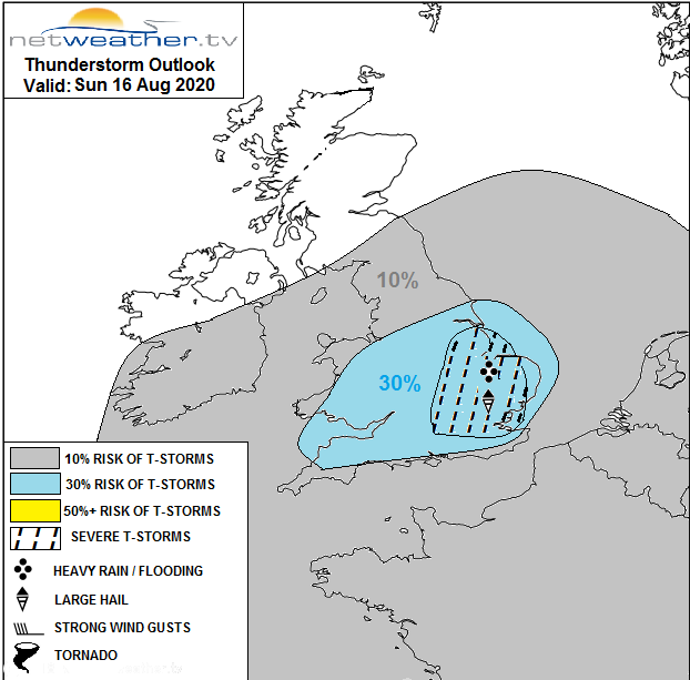
On top of the rain risk, where storms develop, some could become quite potent with frequent lightning, hail and gusting winds. Due to all of this, a storm forecast has been issued for today.
This evening and overnight, the storms and downpours will continue to drift further north into North Wales, Northern England and perhaps also southern Scotland. Monday then brings a familiarly showery day. The showers will reach further north than Sunday, although the far northwest of Scotland should just about miss the majority and stay dry with sunny spells. Elsewhere, there'll also be some sunshine to be had, away from the still dull eastern coastal counties of Northern England and Scotland.
Where there are sunnier skies, temperatures are liable to reach into the low-mid twenties for a good part of England and Wales.

Tuesday brings another day of sunshine and sharp showers - these should become fewer and further between from the south through the day though, as a temporary ridge of high pressure builds in. Thanks to that, Wednesday will start dry and bright with just a few showers possible in the north and east, but low pressure will be approaching and throwing the first of its weather fronts up from the southwest during the day. Timings are a bit tricky at this point, but rain could make it into the far southwest before lunch, spreading fairly erratically northwest through the remainder of the day.
With the rain, winds will also start to increase from the southwest, eventually becoming gusty and blustery everywhere. Gales will develop in western regions later in the day and overnight. As the low pressure won't be far away through the remainder of the week, it'll then stay windy with gusts of 50mph plus in exposed western and northern parts. Something to bear in mind if you're camping, double-check those guy lines!
That initial band of rain should clear much the country on Thursday morning, leaving a day of sunny spells and scattered, blustery showers. The showers will be most frequent in western regions, getting more organised as the day wears on, before becoming more widespread. Despite the blustery wind, it'll be a warm day with maxes widely reaching 22-26c.
The showers may merge into longer spells of rain later Thursday and into Friday as they move west to east. Eventually, as we close out the week, and move into the weekend, the low pressure will move past Scotland and into the North Sea, but it'll retain an influence across the weekend, with more showers at times - these mainly in the north and west.