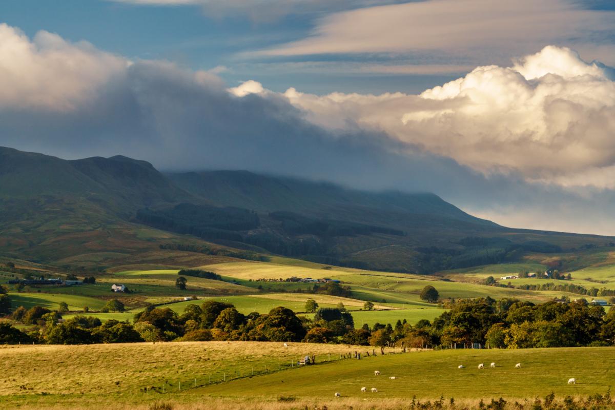
Plenty of dry weather this weekend with a warming trend into next week. There will be rain for Northern Ireland, Scotland and Cumbria but for most, the fine weather continues.
For many, the dry, settled spell continues, but it will be warming up, into the high teens, just into the low twenties this weekend. Showers do continue from the far NW of the UK with rain moving over Northern Ireland, Scotland (mainly the west) and Cumbria Sunday into Monday. Warmer next week.
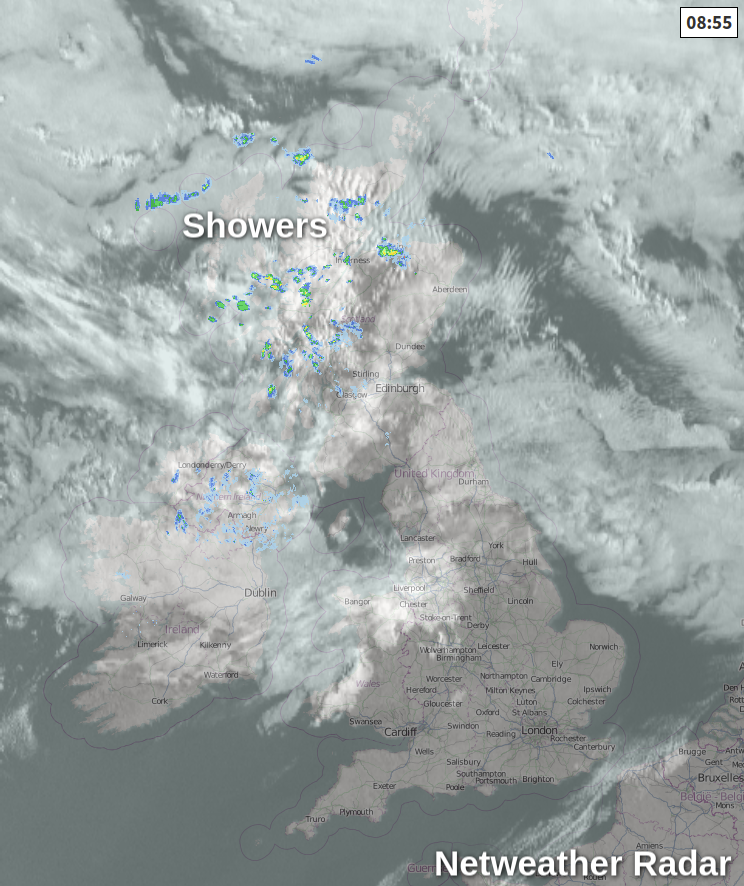
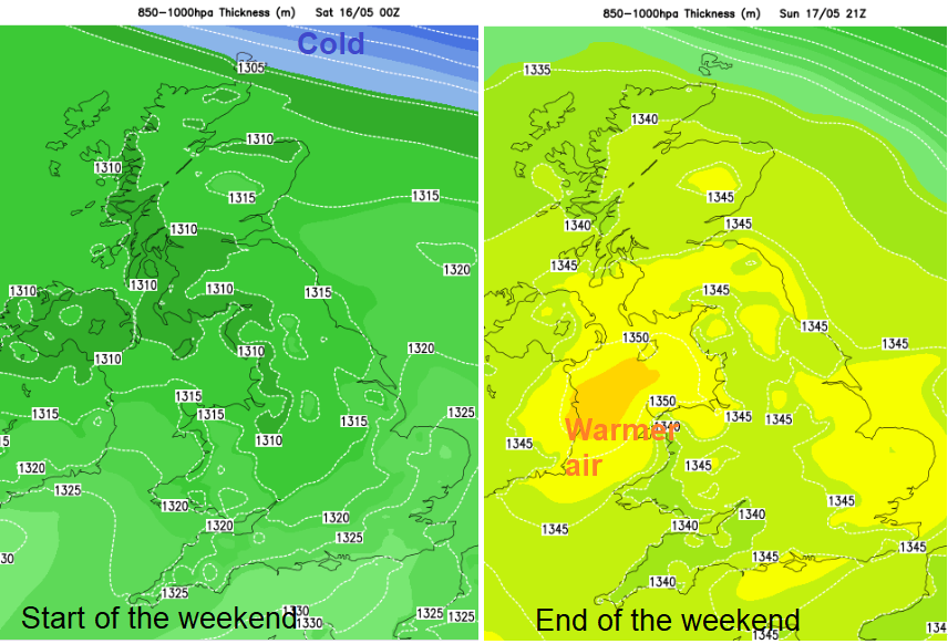
This week has been cool, cold at times with frost. This morning southern Britain has clear skies, light winds and sunshine with a nippy start and further north there is more cloud. This cloud cover is patchy with breaks allowing sunny spells, but there is some showery rain over Northern Ireland and northern and western Scotland today. High pressure remains to the west of the UK bringing the mostly settled weather, but there is a weather front away to the far north coming down in the flow to the Northern Isles. Colder air envelopes Shetland, but there is a gradual warming for the UK this weekend.
Today temperatures remain in the mid-teens for most, cooler for Northern Ireland and Scotland but warmer for southern England, up to 19C for Greater London. For most the winds stay very light although from a cool NW direction. Northern Scotland will see the winds picking up with a fresh to strong NW wind later.
Dry and not as cold tonight. The frontal band will move over Orkney into Caithness bringing rain with strong winds and colder air to the north of the rain. This rain could graze the coast near Peterhead into Saturday with showery bits ahead of the front over Scotland, but that is about it for rain for Britain. For most Saturday looks fair and bright in a westerly wind with warm sunny spells coming and going. Temperatures up a degree everywhere.
Northern Ireland will have more cloud and gradually see patchy rain from the west. This frontal rain continues particularly for Fermanagh, Tyrone across to northern Antrim spreading to western Scotland during Saturday night.
Earlier in the week, the high had looked strong with a good flow of warmer air. Now an Atlantic low look to have more influence and the top temperatures for Sunday are 20 or 21C. Still warmer than anything during the week within a brief warm sector. The rain moves over Scotland later in the day, affecting Cumbria as well but NE Britain stays quite sheltered. There is rain in the forecast for NE Scotland during Sunday night which will be well received after a dry winter.
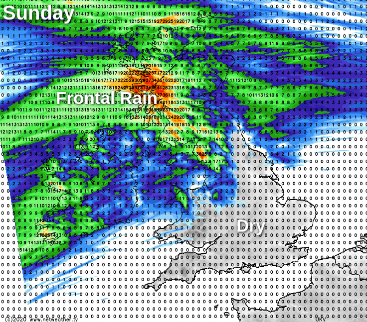
The rest of the UK had plenty of rain in winter, particularly in February but since then has been dry. There has been little rain in lockdown and even into next week the theme is for more settled dry weather across most of the UK. The frontal band for NW UK takes its time to shift, even into Tuesday.
High pressure stays near southern Britain into the new week and temperatures climb into the low to mid 20sC for more areas. Gradually an easterly flow takes hold around the high, so western Britain and Ireland will see temperatures rising as the week progresses. The wind could become a bit of a nuisance and once more make eastern Britain notice a nip in the air even when it is sunny.