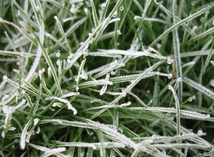
The frost risk remains, keeping gardeners on their toes. More dry weather with high pressure nearby. It is #WaterSavingWeek. Warmer by the weekend.
The frost risk remains with temperatures dipping below zero in places this week as gardeners continue to move or cover their plants. There is still a lot of dry weather to come this week, only a few wintry showers or damp bits today and then the high pressure keeps the UK weather settled. It is #WaterSavingWeek, it has been very dry recently. It will warm up by the weekend; this May chill is just a blip.
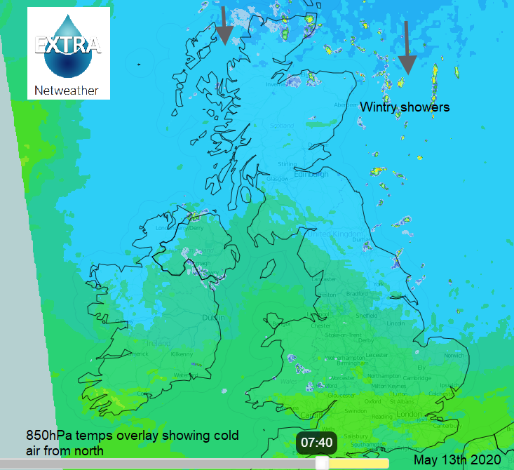
There was snow for northern Scotland on Tuesday and as a cold front moved southwards overnight it has left a chilly start for Wednesday morning and a few wintry showers feeding down from the north. These continue for northern Scotland, clipping Aberdeenshire in the northerly flow to the North York Moors and parts of eastern England north of the Humber. You can see on the Netweather Radar (this is the new V8 radar in Netweather Extra) the colder air in the far north, the darker blue colours and the scattering of showers in the flow. In more NE winds, there is the last of the cold front bringing patchy rain and a little sleet for Northern Ireland and Wales with more cloud over the Midlands. The front sinks southwards this morning bringing more cloud to southern Britain.
The high pressure is centred away to the NW of the UK and the cool north to NE breeze means temperatures along North Sea coasts will only be 7 to 9C and for the rest of the UK 10 to 14C. Again, in a bit of shelter, the sunshine can feel warm but, in the breeze, and shade and especially by this evening it can quickly feel chilly.
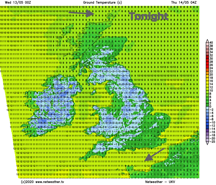
Later today a few showers reach Norfolk, but most areas will be dry with clear spells. A small frontal feature will be driven into northern Scotland overnight bringing more cloud and rain showers. This cloud will save temperatures from falling too far in the far north but for much of the UK, it will be another chilly night with frost away from urban areas and hardly any breeze.
By Thursday there will be westerly winds for northern UK and still NE wind further south. So Eastern Scotland will be feeling warmer at 13C, NE England and Yorkshire will have very light winds but still just into double figures. For most, it will be fine and dry with bright spells. The odd shower will reach Northern Ireland and southern Scotland. Again, frost overnight into Friday with light winds away from northern Scotland where there will be more cloud and showers.
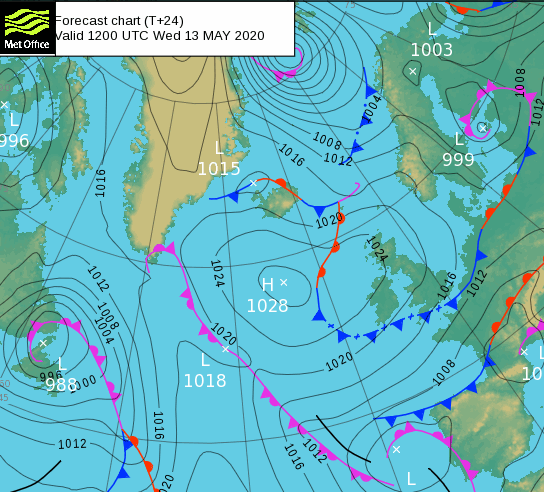
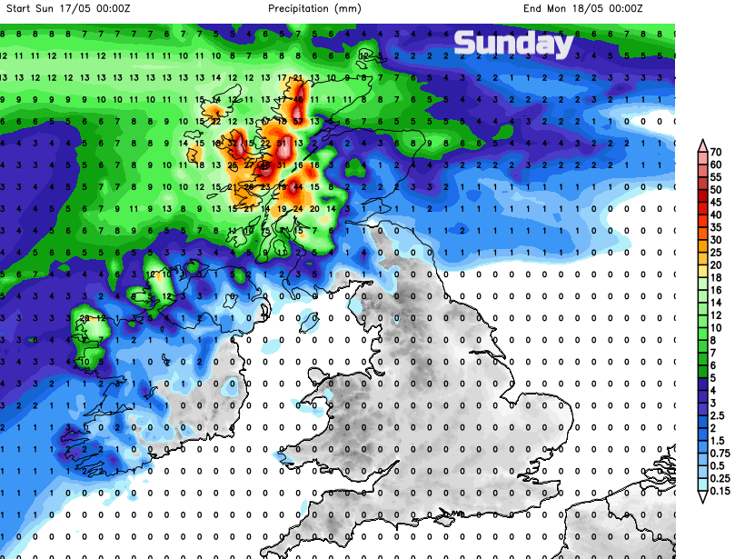
For Friday into the weekend, the high pressure looks to sink quite far south. This allows weather fronts to move over northern and western areas with more cloud and patchy rain. So, a more unsettled picture here.
Overall, there is more dry weather. East Lothian Council has issued a water scarcity notice for private water supplies this week. Many people in rural areas rely on these rather than a mains supply. February was very wet across the UK, but April 2020 was very dry for eastern and southern Scotland and northern England. Water boards are highlighting water-saving advice this week.
The temperatures creep up to the high teens by Saturday for southern England and then warmer for most by Sunday with temperatures into the mid to high teens, even low 20sC for parts of England.