A significant change in our weather is on the way this weekend as Arctic air replaces the warmth we'll be seeing to end the week. On top of that, as high pressure slowly loosens its grip, some thunderstorms are likely to break out during the coming days.
We'll be seeing the warmest temperatures of the week during the few days. But all the while we have changes afoot, both with the atmosphere destabilising to bring some showers and thunderstorms, plus cold air will swing down from the north this weekend to bring a real dip in temperatures to all by Sunday.
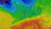
High pressure over the UK today, but weakening and slipping southeast over the next couple of days. Then at the weekend, low pressure over Scandinavia and high pressure near to Iceland combine to bring Arctic air south.
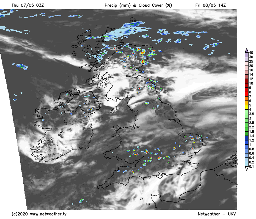
Today, most of the UK will enjoy a warm day with long sunny spells, but western regions, along with Ireland in particular, will see more cloud and some sharp, thundery showers. A few may also develop in central England later on today. Temperatures will peak into the low twenties in eastern and central parts of the country, with other areas reaching up into the high teens. London will probably be the warmest part of the country, with 23c or so expected here.
As there's a risk of thunderstorms, a storm and convective forecast been issued by Nick for today.
The showers should, in the main, die out during the evening and overnight, but one or two may stick around. Friday then brings another warm, often sunny day for the majority once any low cloud has burned off first thing. Northern Scotland will buck the trend though, with some rain at times here, along with a fresher cooler feel. During the day, some isolated sharp, thundery showers are likely to get going across England and Wales, along with eastern Scotland. Not everyone will catch one by any means, with most missing them but if you do see one, you'll very likely know about it.
Temperatures Friday are likely to be a notch or two warmer than today in the southeast - heading up into the mid-twenties, but still similar elsewhere with the high teens or low twenties.
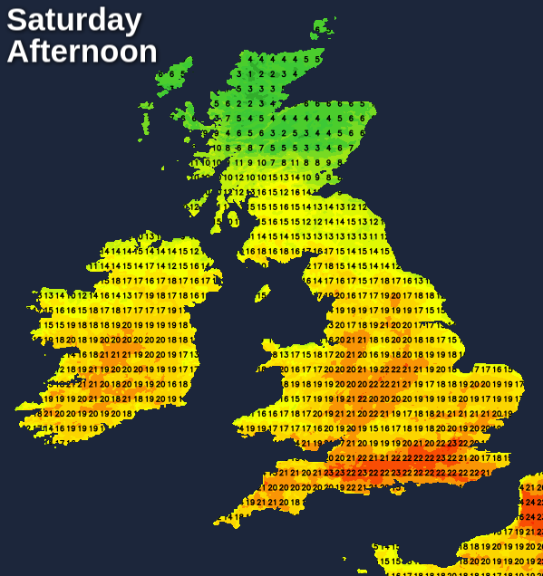
Saturday then brings the start of the change to cooler temperatures from the north. Further south, there's little change though with yet more warm sunshine, but an increased threat of heavy showers and thunderstorms into the afternoon. The northern half of Scotland will see more general rain setting in too, making for a pretty miserable, cold feel here, with some of that rain starting to fall as snow up over the high ground. The temperature map tells the story with a real contrast north to south.
The rain will clear Scotland by Sunday morning, making for a frosty start here. It then continues to work south through the day, introducing Arctic sourced air behind it, reaching southern England by the end of the day. Once it's moved through, you'll undoubtedly notice the difference in temperatures, but the sun should break through at least. There will be showers in the north and east though, these wintry further north and over the hills - what a change!


.png?w=350)