It will stay dry and fine with warm sunshine for most over the next few days, turning cooler on Sunday, with more in the way of cloud and risk of showers.
Much of the UK will remain dry and sunny today, tomorrow and Saturday - while it will become warmer for most too, especially in the east, as that nagging easterly wind eases. Temperatures today will approach 20 Celsius across the north while reaching the mid-20s Celsius in the south. Still warm inland away from eastern coasts tomorrow and Saturday, though not as warm as today across the south. However, a northerly breeze looks to develop on Sunday, bringing more in the way of cloud and some showers in places.
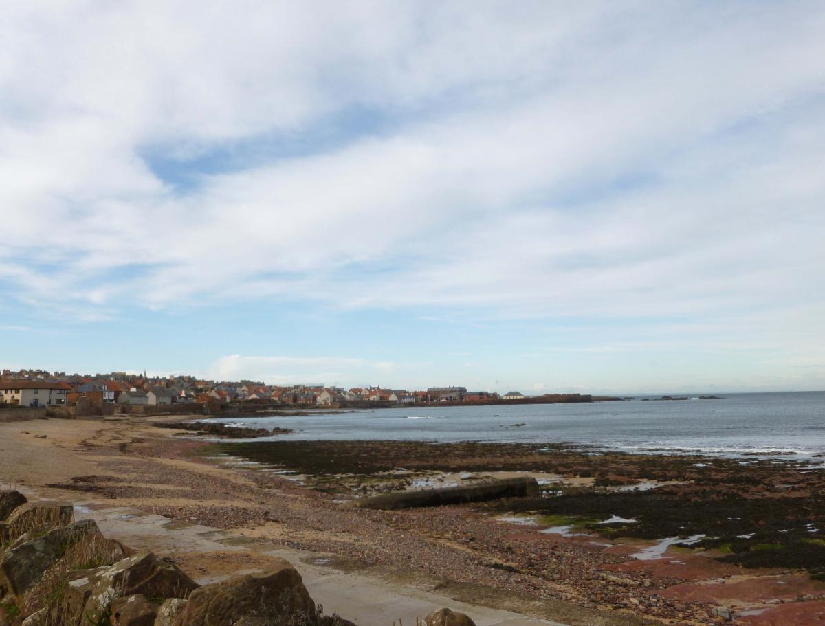
For now, a chilly start in the north but it will quickly warm up in the strong April sunshine and any early mist and low cloud will lift and disperse readily as the sun gains strength in what will be another fine and dry day. Not wall-to-wall blue skies like yesterday, with skies more hazy at times for central and northern areas, as high cloud comes and goes. Winds will be lighter, so without the chilly easterly wind of recent days, it will be warmer, especially in the south. Temperatures reaching 18C in Glasgow, 20C in Manchester, 23C in Cardiff and 24C in London - we could see somewhere in the south reach 25C. Temperatures pegged back into the mid-teens along North Sea coasts, with an onshore breeze, but not the strong easterly wind of recent days.
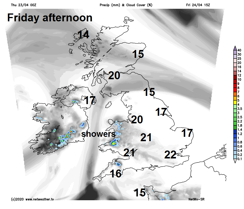
As we head into Friday, high pressure will begin to weaken somewhat, so although it will be another mostly dry and fine day with plenty of sunshine, once any early mist and low cloud towards eastern coasts burns off, there will be more in the way of cloud with a risk of few showers developing across SW England and Wales in the afternoon. Still warm for the time of year, temperatures reaching 20-22C inland away from the north of Scotland and eastern coasts – where temperature will stay back in the teens.
High pressure will continue to weaken over the weekend, more in the way cloud across western areas, with a few showers across SW England, Wales and NW England, central and eastern England along with southern Scotland sunnier and drier. Cloudier with a few showers for northern Scotland too. Still warm for most, especially with sunshine, temperatures reaching the mid-to-high teens Celsius in the north, high teens to low twenties Celsius in the south.
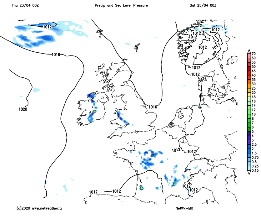
There is a little uncertainty over detail for Sunday, but it looks to turn cooler, as a northerly breeze picks up, a cold front moving south will bring more in the way of cloud across England and Wales in general, which will produce some showers. Perhaps brighter conditions following the front across southern Scotland and northern England, but cloudier with showers across northern Scotland.
Recent model runs suggest it turning increasing unsettled across all parts next week, as areas of low pressure move in off the Atlantic close to the west, bringing an increasing threat of showers early in the week, then perhaps some wet and windy weather later in the week. So a cooler and more unsettled end to April and start to May looks on the cards.