After some mild, sunny days for much of England, Wales and Southern Scotland this week, we have changes afoot with our weather now, as colder air arrives from the north this weekend.
After some mild, sunny days for much of England, Wales and Southern Scotland this week, we have changes afoot now, with colder air arriving from the north this weekend.
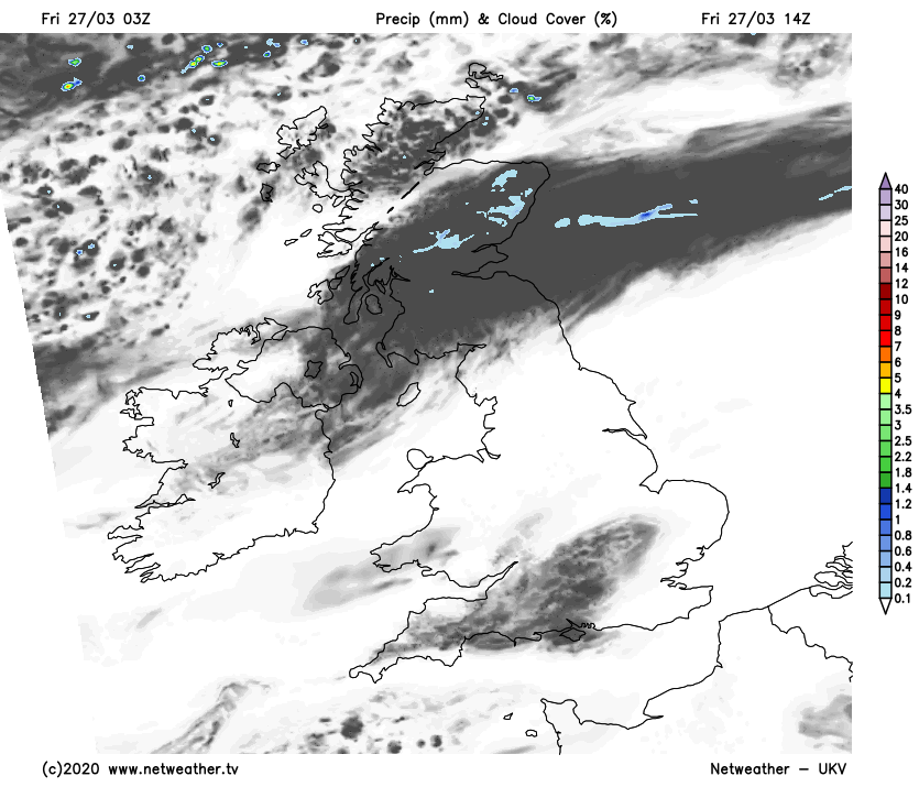
Today, we're still set pretty fair for much of the country though, with more sunshine for a good part of England and Wales. It won't feel as warm through, as there'll be a reasonably keen east to northeast wind blowing, which in turn will bring some cloud with it at times. Across Scotland, it's a familiar, cloudier picture for many, with the same, now weak, weather front still hanging around. It has some drizzly rain on it, but most parts will be dry, it'll also slowly edge further south through the day - blocking out the sunny spells in the south of Scotland, but at least allowing for some to break through further north.
Whereas earlier in the week we saw temperatures into the mid-high teens across England and Wales, today it'll be a struggle for many to reach the teens, with highs of 10-13c typically. For Scotland and Northern Ireland, 7-12c will be about your lot.
Overnight tonight, the weather front in Scotland finally makes more of a move south, heading down through Northern England. There'll be more in the way of cloud due to this and the easterly wind, so the frost will be more patchy than it's been in recent nights.
The colder air will also arrive behind the front, and that's going to dig south during Saturday. You'll undoubtedly notice the difference if you're out in the garden or taking your daily exercise out of the house, especially if you don't have some shelter from the wind. The south will still see highs of 10-12c though, but further north it'll generally be single figures all the way with the northeast in particular feeling sub-zero once you take the wind into account.
With the cold, there'll also be some wintry showers about. They'll generally be limited to eastern, and especially northeastern regions, but a few may make it further west. It'll be western and central areas which enjoy the best of the sunshine, although with the weather front still sinking south through England and Wales during the day, there'll be a good amount of cloud about until it clears.
A widespread frost follows on Saturday night, although with more cloud and wintry showers feeding in off of the North Sea, eastern regions will stay a touch milder. The into Sunday, we'll continue to see more showers in the east and northeast, with sunny spells elsewhere. And it'll still be feeling cold.
For the start of next week, we keep a similar theme going, with varying amounts of cloud drifting about by this stage. There'll still be some showers in the east and north, perhaps spreading to other parts at times and we'll keep the cold air in situ.