


The weather has been very mixed so far, and this continues but there is hope for Sunday afternoon
Weekend update
Lots of heavy thundery showers now appearing in the western Channel, most of these are a bit furhter west but this is not ideal
Saturday night
There is going to be a LOT of rain overnight and still heavy even thundery pulses about in the morning. It is forecast to clear northwards away from Bournemouth in the afternoon. There is hope! In the morning it willl still look rubbish but it will shift and the sun will appear. However, I can't say what organisers of airshow will decide to do
Wednesday update
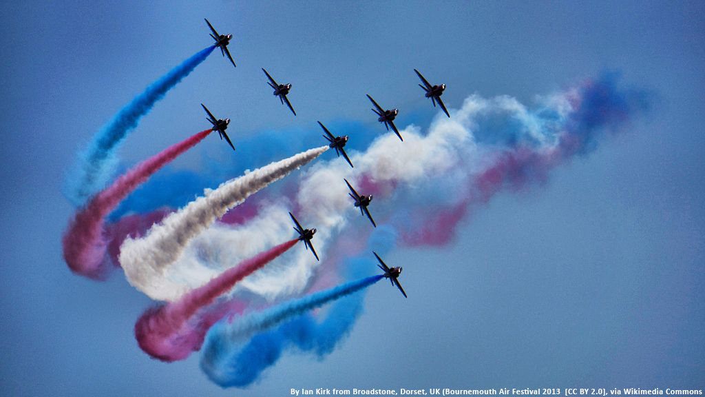
Monday would have been a fine day for the air show with sunshine and temps up to 20C in Bournemouth. There has been a light west wind but with higher cloud coming in from the North Sea from a low away to the far NE. Through this week the main influence returns to the Atlantic, with southerly or SW winds. There should be a lot of fine, bright weather, some warmth although the weekend may see a few weather wobbles. Nobody will want to see a day like the Thursday of the Eastbourne air show. Most of the air action is in the afternoon, full listing here. http://bournemouthair.co.uk/whats-on/ Each evening there is an open air event “Night Air”.
FORECAST
Thursday 20th has low confidence at this point as a waving front is forecast to be near S.England or in the Channel. This means a lot of cloud, some showery outbreaks of rain at times and temperatures around 16C with a light wind from the south off the sea. However, with a waving front it could easily develop more, and bring more rain or flatten out and just bring cloud, with some breaks.
Friday could be another claggy day with low cloud, some damp weather and grey skies. However where breaks appear in the cloud, the temperatures will leap up to 20C and feel lovely with a light breeze off the sea. There will be weather fronts lurking over SW Britain but hopefully ahead of these in the afternoon the sunshine will peak through. Still some warmth in the evening for the POP night
Saturday again looks mixed but with more chance of bright spells, some warmth and temperatures around 20C. There is a more alarming signal from the models of thunderstorms moving up from the continent later on Saturday and overnight. This risk could be further east but it will be something to watch over the next few days and for anyone going to the Take Off event
Sunday is a long way off at the moment. It looks like a fine start but potentially a wet and windy end with a low pressure moving in from the Atlantic. Further updates to come.
The forecast isn’t settled or static, with fronts nearby or moving through, timings will always be tricky. It’s not a washout and there will be fine, bright and warm spells, it‘s just a bit like this summer – not reliable


