


After a week of greyness for many areas, the high pressure is finally departing and following behind a cold front will bring a blustery, wet spell for much of the UK & Ireland during Friday before things settle again on Saturday.
After a week of greyness for many areas, and some bright Winter sunshine for others, the high pressure is finally departing and following behind a cold front will bring a blustery, wet spell for much of the UK & Ireland during Friday before things settles again on Saturday.
The high pressure is slowly clearing to the east, and gradually taking the low cloud that's haunted so many of us over the last week with it, and by later tomorrow afternoon the wind will pick up a little ahead of the arriving cold front.
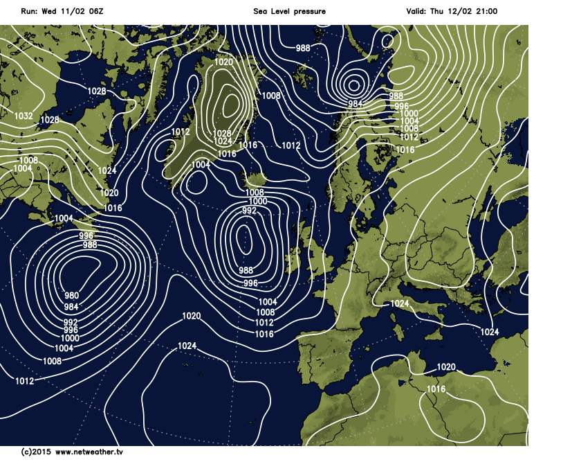
The cold front arrives from the west, bringing some heavier spells of rain for Ireland & N Ireland first, then Wales and south west England before spilling through the rest of England and Wales during the day. There'll be a blustery southerly wind too, especially along the southern coasts at times. Scotland will dodge the majority of the rain and see some decent sunny spells.
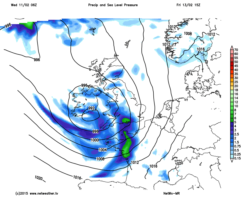
Into the weekend, and once the front clears through in the early hours of Saturday it all settles down again, with some decent bright spells and a few lingering patchy showers, though it will be a bit breezy for northern areas.


