


ThundersnowDays
-
Posts
885 -
Joined
-
Last visited
Content Type
Forums
Blogs
Gallery
Events
Learn About Weather and Meteorology
Community guides
Posts posted by ThundersnowDays
-
-
Nicest March t-storm in a while, a dozen flashes after a hail shower earlier and two on the 23rd as well!

-
A nicer day today with 14.C and the sun managing to poke through the clouds, yesterday was slightly warmer but under grey skies until the late evening
-
 1
1
-
-
Felt like the start of spring today, nice sunny evening which makes a change

-
March saves the snowless winter, what a nice surprise to wake up to!


-
9
-
-
offerman Way more rain than I expected again, just like Thursday night!
-
1
-
-
Metwatch 2018 will be remembered as a classic summer here, I can't remember years things happen too well but I can still feel that summer just thinking about it. It felt like being in the Med especially with the endless dry heat, the crisp brown grass and the wildfires around the country.
-
back to the rain affair after a couple of drier weeks, just wish it was snow for once!

it feels like a winter with snow is rarer than without these days

-
 1
1
-
-
Some of flooding that happened this week


-
2
-
1
-
-
worst flooding I can remember on the roads tonight, every road has become a river, no one can get anywhere, chaos!
-
2
-
-
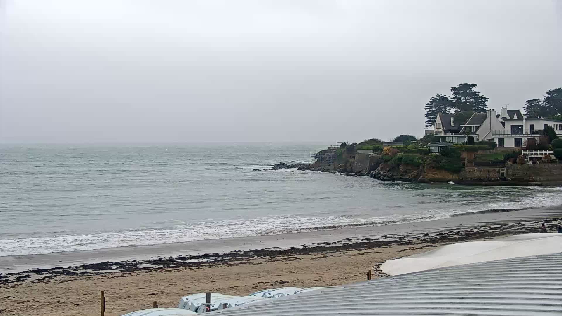
Plougonvelin, Brittany webcam
Webcam Plougonvelin - Le Trez Hir - Bretagne - France - Vision-Environnement
WWW.VISION-ENVIRONNEMENT.COM
Visualisez en vidéo et en direct la webcam touristique de Plougonvelin - Le Trez Hir, localisée dans la région Bretagne, France.-
1
-
1
-
-
This looks like the storm of a lifetime for the French side of the channel, 120mph gusts for Ouessant and 110 for Brest and the Breton coast - Channel Islands and Normandy are gonna get a walloping as well with lots of places above 100
 looking rough with gales on the South Coast but hopefully dodging the worst! Still, worth watching as it seems to change slightly every run
-
1
-
3
-
 2
2
-
-
the ICON looks bad for the entire south coast!
-
2
-
-
1 hour ago, parhelion said:
ARPEGE 12z accumulations in line with the latest Met Office warnings. Looks awful for here tomorrow, and with those river projections @Josh Rubioposted earlier, there is potential for some really serious impact here.
worrying for Lincolnshire / The Fens as well, unusual amounts for that area!
-
2
-
-
I finally got a storm, pea-sized hail and intense rain (luckily only lasted five minutes as already some big puddles!), not much lightning but still better than I'd hoped for!
-
1
-
-
hoping the Bournemouth storm comes up to here, its been such a disappointing summer for storms, but some of the best ones have come in September so

-
1
-
-
first 30.C in September ever

hottest day of the year!

-
3
-
1
-
-
1 hour ago, danm said:
Agree. Sitting by the pool in 40 degree heat or camping in wind and rain? I know which I'd prefer.
I went to Crete years ago when it was 42.C, the heat was intense but having a pool made all the difference! Was a lovely holiday
Would never cancel a chance to go to the Med!
-
3
-
-
4 minutes ago, AWD said:
Looks like main core of it all is heading slowly NW, towards Swindon and potentially Gloucester. Can’t see much, if anything, happening south of the M4 once it reaches the West Country, as things stand.
oh you're right, I thought it was going due west

-
looks like I might get lucky with this one, or it'll go slightly north, we'll see
too far away to hear any thunder but can see the anvil tops!
-
first thunderstorm of the year with pea-sized hail, a couple of good flashes :)
-
what an awful end to March, only thing that saved this month was the snow day, roll on summer!
-
2014 was the best of those years here, hard to believe it was 8 years ago!
-
2
-
-
was expecting a bit more than rain
-
this is gonna be a good night for storms! already seen a flash
edit: lol...


South West and Central Southern England Discussion - Dec 2023 onwards
in SW and CS England Weather Discussion
Posted
Some lovely skies today after the squall this morning, lots of hail streaks and anvils but we've avoided them all so far!