


Skullzrulerz
-
Posts
8,069 -
Joined
-
Last visited
Content Type
Forums
Blogs
Gallery
Events
Learn About Weather and Meteorology
Community guides
Posts posted by Skullzrulerz
-
-
1 minute ago, northwestsnow said:
The Euro High is going to completely destroy the cracking NH pressure profile if it doesn't leave the stage ASAP...
The Euro High leaving the stage? Never going to happen sadly...
-
 1
1
-
-
31 minutes ago, knocker said:
They said winter is all over.........................it is now


-
1
-
-
7 minutes ago, blizzard81 said:
And don't forget.... Brutal cold for the US - AGAIN! No flip flop modelling for them.
And we're a little island just off the Atlantic, getting a cold/very cold spell is incredibly easy for them.
So many things have to happen just for a chance of getting that sort here.
Well, it's back to looking at near 10 charts sadly.
-
3
-
-
The lesson that should be learned is no matter how good the "background signals" or how strong high pressure is around Greenland/North Pole.
If the piece of the puzzle is done incorrectly then it's bad news for us.
While the models may still go back to a cold outlook but with quite a sizeable agreement along a few already it doesn't look good (at the moment)
-
4
-
 1
1
-
-
16 minutes ago, Johnp said:
Before anyone gets accused of cherrypicking or hopecasting, GEM has been pretty good recently.
But it's just the GEM, it has been consistent don't get wrong me, there isn't that much support for that solution.
Basically the models tonight are one step forward two steps back.
-
1
-
-
2 minutes ago, Summer Sun said:
BBC going for 16c in Plymouth on Monday. From winter to Spring in a matter of days!
Close to being summer like (bar the rain)
That's what a warming world does.
-
1
-
-
1 hour ago, Stuie W said:
Very true mate. I forget that not everybody sees what I post and should have said it was a correction South from just Scotland previously.
Easily done mate! We all get a bit carried sometimes I wouldn't worry about it lol
-
2
-
-
2 minutes ago, Bricriu said:
The problem is of late I'd be more inclined to believe the GEM. What do you think about it all?
Considering the uncertainty, we need some other model support.
It would calm our nerves if we can get the others on board.
-
4 minutes ago, Johnp said:
Doesn’t that show rain for the south?
Depends on what area you think the South is.
For the most part it looks like London and mostly northwards you get a chance of snowfall.
However, I wouldn't take these charts too seriously just yet.
-
2
-
-
-
Did the ICON have any difference to this morning run?
Also considering the uncertainty what is the best case scenario at the moment, one thing I have noticed is the annoying high pressure just south of us.
-
38 minutes ago, feb1991blizzard said:
ensembles milder and milder with each run.
Ultimately the weather will do what it's wants.
Besides our personal preferences, it has been a incredible recent few weeks of model watching!
It is a shame that the models are trending towards less/milder weather but we have however experienced a near two week cold/very cold spell!
It may of not been the snow feast but people wanted but it did give quite a few surprises!
-
3
-
-
Woke up this morning to quite a light dusting in some places, I was expecting a fair bit more then that.
Bet of a let down but still looks like a winters day, that's probably going to be our lot this winter knowing us.
-
1
-
-
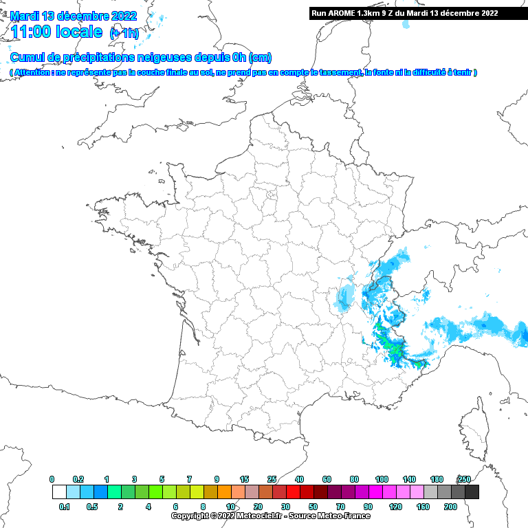
Snowing now, however is it too late? The heaviest precipitation is gone unless the green areas move in.
Good to see snow falling through!
-
9
-
-
Think it's starting to snow here now!
However the heavy precipitation is moving along

-
1
-
-
Definitely is sleet now, falling somewhat now.
-
1
-
-
Quick lamp watch, a little bit more noticeable of sleet falling.
Not heavy by any means...
-
1
-
-
So supposedly I have been under heavy rain/sleet according to the radar for the last hour.
Yet there's barely been precipitation falling out of the sky...
-
Sleet showing up on my location! Sleet also around Bodmin Moor.
Netweather Radar.
-
Lamp post watching, struggling to tell but maybe a snow/sleet flurries?
Difficult to tell because it's very lightly doing it's thing.
-
Light Rain getting inland, does look like some of the heavier precipitation is being waned slightly.
It has to be said it's going quite slow?
-
1
-
-
19 minutes ago, Singularity said:
Possible that the models are seeing a slightly faster push from the north than before, offsetting the greater progress of the wave up to this point.
Not saying that's definitely the case though!
You mean that perhaps it won't reach the south west at all?
Worrying that the GFS backed away from it even reaching the coast.
-
1
-
-
8 minutes ago, jtay said:
Nice one, thanks. Another improvement.
Here's the gif for that, to show the build up....
Might just get a dusting! About 200m above sea level should help!
-
2
-
-
19 minutes ago, Singularity said:
Strangely the 09z UKV run retracted the precipitation west despite the 06z having been much closer to the reality for 10 am.
The impact for tonight goes to show how important the current eastward extent is:
So for those along the Dorset and Hampshire coasts seeking a little snow, it's a good thing the 06z was nearest the mark.
It's not as north? precipitation is more fragmented?
-
1
-


Model Output Discussion - the cold has arrived
in Forecast Model Discussion
Posted
Both AO and NAO slowly return back to around neutral phase in the coming week or so.
