


snowlover2009
-
Posts
751 -
Joined
-
Last visited
-
Days Won
3
Content Type
Forums
Blogs
Gallery
Events
Learn About Weather and Meteorology
Community guides
Posts posted by snowlover2009
-
-
Not only does the ecm seem to have back tracked a bit, it could also be an outlier. But, the gfs 12z, mid terms looks fairly interesting and IMO the most interesting now. It is just typical. All the models are showing something totally different and no one knows what is going to happen.
-
Well none of the other models follow gfs and even the ecm ensembles don't go off a tangent so early like the OP. It really is out on a limb. If all the models back track and follow the 18z OP run, then this would be the biggest U turn the models have ever done.ensembles are awsesome.is this the path we are looking for,gfs 18z is a 100 percent a outlier.no way can it fit in to those emsembles,the operational has zero support.surely one for the shredder.now after me taking a deep breath.we need to see where ukmo treads in the morning.
-
Unbelievable. I think tomorrow could have an even bigger surprise, if this is the first trend from the gfs, then there is going to be even more surprises in the ensembles I bet.http://www.wetterzen..._London_ens.png Speechless. I think now is the time for coldies to get their hopes up!
We have gone for searching for the mean to go slightly below the average in FI, to the mean going below significantly and continuously below average for the entire run!
Ill say it again, well done to Net weather and of course GP for forecasting the mid jan pattern change. Amazingly accurate with the timing. Net weather have surpassed all other forecasting sites IMO.
-
Wow, I think if the Op hadn't beena whopping outlier, 4 days later than today(yes you heard that right) the mean would have been even lower. What a massive turn around. This is great news!!!! The mean doesn't go above -5 I think!
-
The ensembles are looking very good up to 144 hours, we are seeing heights pushing up to greenland, linking with heights over europe and troughs to the south east. This is very good. Just looked at the OP and nothing like any of the ensembles or the control.
-
I'm really excited by the GFS, potential is huge.
I think those focusing on highs building over Greenland will be greatly disappointed as the PV is just too strong. Strat warming isn't displacing the PV, instead creating huge block over Russia.
Look at the cold air building over Norway with heights increasing

Look medium term, not long term. Yes the high isn't strong enough post T150 but the more it builds on each run the less likely it is to flatten.
That chart has so much potential and it will change. Look at the big scandi high that was being projected for the end of the week, last week. Ok so there is still heights there, but the high being projected last week, was a classic scandi and it kind of disappeared off the gfs, or collapsed. Nothing stopping the chart above, to move north and makes things interesting for us.
-
I am guessing that maximum is in the netherlands or one of those small countries to the east of France? Imagine how cold It would be here?
-
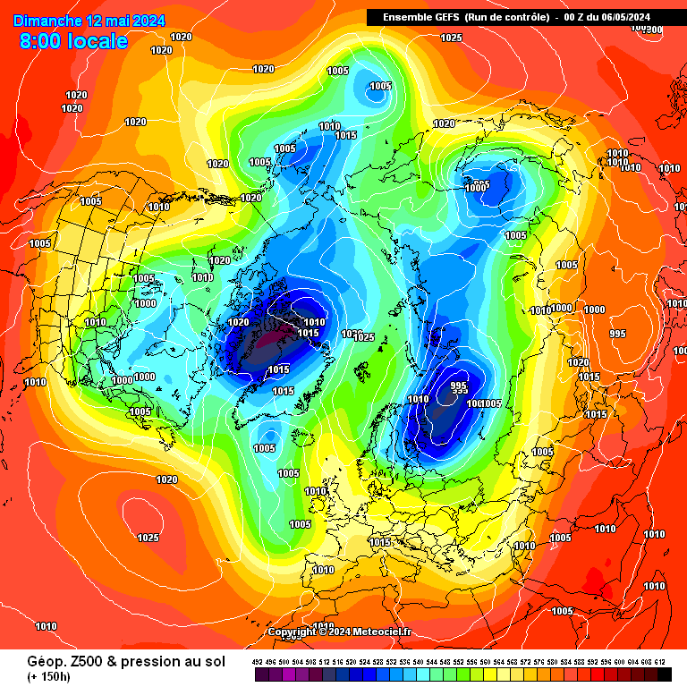
Sorry for all the posts. I feel the significant point we need to watch, is that high pressure pushing up to Greenland, illustrated by the control run. This could be the most crucial part.& it keeps coming-
CONTROL at 150
http://modeles.meteo...-0-1-150.png?12
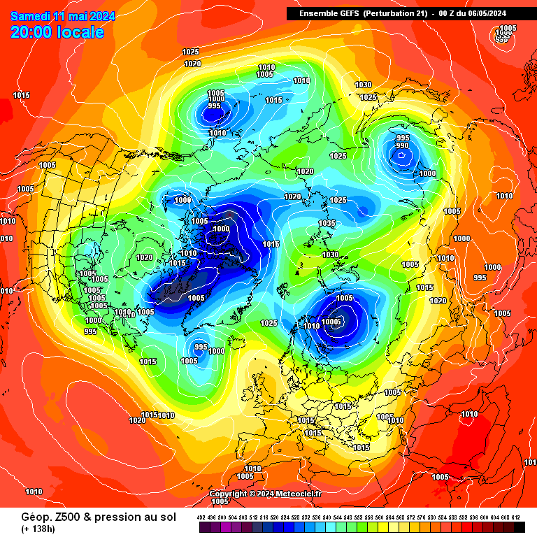
Mean at 144-
http://modeles.meteo...21-1-138.png?12
Some awsome ensembles
I will take number 3 7 or 13
S
Thanks Mate- Loving the NH plots on Meteociel at the mo-
Nogaps NH chart
http://modeles.meteo...0-180.png?15-17
Steve
-
Wow, some big changes at a closer range! Definitely things picking up for the coldies. I have a feeling gfs 18z will fall in line or some of the ensembles will start to dig back below -10 again. All the euros have been in a great agreement, all eyes on the ecm.http://modeles.meteo...nh-0-144.png?12
UPDATED GEM
& the NOGAPS
At 168
http://modeles.meteo...0-168.png?15-17
After near identical looking like the UKMO at 144-
http://modeles.meteo...0-144.png?15-17
SYLVIAN FIX THE NOGAPS NH LINK!!!!!
S
-
UKMO very interesting at 144 hours, looks like the pattern, that we saw at the end of January 1986!
http://www.wetterzentrale.de/pics/Rukm1441.gif
http://www.wetterzentrale.de/pics/archive/ra/1986/Rrea00119860128.gif
This chart is from the 18th January 1986,
http://www.wetterzentrale.de/pics/archive/ra/1986/Rrea00119860118.gif
looking at he current models at this time frame, I personally believe we are in a better situation, so the hints we keep getting for the rest of the month into February might not be far off the mark. if, in 1986, they could get that chart and 2 weeks later, one of the coldest February's on record, then we surely have a good chance. The pattern of the winter, is awfully similar to that winter.
-
It is amazing to see such difference in a matter of hours at a close range. Just shows it is early day. As ever, gfs slowly moving towards the euros and the 12z FI builds the proper brutal cold by the end of January. Very interesting, times I reckon for the last week of the month and most certainly February.GFS from this
http://modeles.meteo...12-5-150.png?12
to THIS
http://modeles.meteo...12-5-126.png?12
in 24 hours.....
S
-
I agree fair enough, it means we will get some cold and maybe some snow from the odd plunge. However those set ups are always awkward for snow. People always look forward to it, when the models come in line, but they are always hit and miss. When you get the snow, it either just falls and never settles or it will stick and melt the next day. Nothing unusual, where as ECM runs wouldn't look out of place from 1947, 1963, 1979, 2010. The gfs ensembles and run, fall into the early noughties category for me. But we will see what the models cook us up tomorrow, because lets face it no one has a clue.Yes even on the numerical ensembles you can see that the majority of the ensembles show an outlook of ridging and troughing with a occasional cold plunge. It's a fairly typical winter pattern in the UK, but it does go against the ECM, so it's not worth reading too much into it until tomorrow runs emerge.
I think ECM will stick by it's run tomorrow, at least initially. I also think the GFS will firm up on its new idea. Consistency matters not at the moment.
PS, when you have the northern blocking to the north and get a very cold north westerly, e.g. December 21st 2009(I think), then fair enough. At least the cold weather is sustained for a few days for the snow to stay and the snow potential carries on. I know I shouldn't moan, if we do get toppler, I will probably be excited, but it would be a far cry from recent runs.
-
I hope so, I was hoping the winter would make up for such a dire year of weather bar April and the heatwave in late September.Just edited my post before you commented. sorry about that.
Yes, I did notice that. There is little signal, atm, for a sustained cold spell. I dont expect any "real" cold until february. IMO, febraury is going to be by far the coldest month.
Still, plenty of brief easterlies or north easterlies. Barely any support for the op (thank god)
http://www.meteociel...gefs_cartes.php
click the numbers at the top to view the different perturbations
The ensembles have runs going down to -10. They don't really surprise me, as they are probably northerly topplers, if they were cold snowy runs, we would be seeing the ensembles showing -10 for a long duration. Like 2 days ago for example when the outliers were going down to -15 etc. Where as the cold runs just dip to -10 for a few hours, so you can take it they are just cold topplers or from a cold northwesterly.
-
I see your point, but there is no northern blocking, without that, then anything cold is going to brief and any lying snow will not last long. Yes there would be snow, but they are far cry from a couple of days ago, which is frustrating. There is not one run I have seen on the 18z, that show any decent heights for the Atlantic ridge to connect to, the ecm has the heights though. If the ECM does fall in line with the gfs tomorrow, then the month is going to be shaping up to how the rest of winter has been.The 18z ensembles look very interesting. Virtually all of them go against the op,with plenty of runs giving cold, either from the North, North east or east. Theyre surprisingly better than the 12z!
Now the ensembles have been released, the Op looks even more unlikely to verify.
-
Fair point. Kept my patience with the models since December, don't know how much longer it can last. For anyone who is interested or just wants a brief round up of the 18z. and ensembles.
A benign mid altnatic ridge, with a cold northwesterly -5 to -8 uppers generally, cold enough for snow, but all look like topplers,and nothing unusual and far cry from the ecm. to be honest. Ok, so it would bring snow, got to say, these scenarios either bring snow showers and a 2cm covering which melts by the next day, before the atlantic ridge nudges its way in. I would rather not to be honest.
The waiting game continues, never fear the gfs will be back to its same old scandi block with -15 uppers ensembles and the ecm back to reality....
-
I know, its so worrying to think NOGAPS is not agreeing with the better model lol.so The ECM takes the first hit from NOGAPS.
-
Why are you writing the whole month off, when you told everyone that FI starts at 72 hours? The models are a complete mess atm.Were you looking at the much better 12z NOGAPS Steve
Kudos to GFS if it has this correct and probably goodbye to Jan
-
Oh God, there was me being confident about the models agreeing on the blocking tomorrow and then I realise what the day and date is tomorrow. God...
-
Yes, but the ecm painted a very cold scenario this morning and has kept with it this evening. The other models seem to be supporting it.Frame for frame a very similar run in many ways to the 12z. Strong consistency from GFS IMO, although this doesnt mean its right of course.
Logic points to the ECM being closer to correct, but I think the tendancy to simply bin GFS is risky as whilst it may have struggled recently its still one of the big three! My main concern is that this run is so similar to the last one! Has GFS nailed it?
Some positive signs in the early / mid part of the run with pressure higher over Greenland.
Jason
It is usually the case. People being disheartened by the 18z and come the morning, all the models have good agreement in cold weather. I am looking forward to the morning.I have noticed in the past the 18Z has a habit of the change to come. GFS not budging and ECM not moving either? Classic morning runs coming.
-
Lets not get too down on the gfs run. It is step closer to the other models and thinking about it, it is on its own with no support. I think it will be all change by the 00z or tomorrow. Lets just say I wouldn't be surprised if the ecm turns mild and gfs gos uber cold as ever, just to be a pain in the backside. It could also be a bit of an outlier, we will see. But as said, it is pushing slowly to the other models. The rest of the models aren't following the gfs which is good and the gfs only a day or two was showing some great synoptics for the end of next week/weekend.
-
Quite amazing the OP is the mildest to the 15th. With the rest between -2 to -5 uppers generally.http://www.wetterzen..._London_ens.png
London 18z ens- much better-
Also the token berlin ensemble-
http://www.wetterzen..._Berlin_ens.png
the crash continues-
S
-
-
One thing better this time round, than December 2010, is the cold uppers. Looking at the ensembles and the fact that we are nearly halfway into winter, it looks likely we could be looking at colder uppers this time, if we get this meaty beasterly. December 2010 lacked cold uppers IMO.
-

February CET
in Spring Weather Discussion
Posted
If we get this block, in place, I reckon a severe cold month. My punt is -0.8c please. I may have to revise if the models back track, but we all know tomorrow is the decider with the undercutting. Once we get that or if we do(looks very likely), we could be in for some very severe weather down the line.