


Snowmadsam
-
Posts
1,127 -
Joined
-
Last visited
Content Type
Forums
Blogs
Gallery
Events
Learn About Weather and Meteorology
Community guides
Posts posted by Snowmadsam
-
-
Just now, Mike Poole said:
Come to Daddy!


I guess the GFS is SOMETHING then, if you are cold inclined. Lets see where its sits in its Ens.
-
9 minutes ago, bluearmy said:
I do find the dissing etc of models quite odd. They are all processing billions of calculations to produce a representation of the atmosphere over a period of time in the future. No model can actually predict the future. We have to use our experience and intuition to sort the wheat from the chaff but never throw out the chaff unless it’s absolutely minging ! And that doesn’t mean not showing what you would like it to!
we don’t have the met office stuff which enables them to do that sorting (not models such as glosea) but even then, I wouldn’t say we’re in a much worse place to make judgments than they are - but only if we take off our blue tinted specs and stop over reacting to a couple, runs/suites which may not go where we expected.
we have enough decent models without needing to be looking at navgem or the Indian/Chinese models. The amount of data we now have access to compared to only half a dozen years ago is brilliant. Not that it seems to make this thread any easier to get through!
anyway, ec/Ukmo/icon/gfs and gem are all pretty excellent at day 5 in predicting where we will be once the more uncertain period begins - that’s when the human side gets involved. Nwp charts behind that are simply guesses - some are going to be closer to what happens that others. the modelling is definitely improving - when was the last time we saw an ‘ian brown wtf moment’ when Ukmo diverged completely from what was cross model agreement at day 5 and proved to be correct ?
we can only dismiss a model run if we have very good reason to do so.
I agree on the point of “dissing” models. But it is interesting to have a discussion. I had been saying last night about the number of times the ECM Op had been an outlier but operates at a higher resolution within its ensemble suite. Which was concerning me a little.
But weather models are a guide not a fact. That is why we have human charts in addition and discussions (UKMO FAX charts and NOAA discussion).
Scope does remain a possible for upgrades and downgrades due to the complexities of the pattern at the pole at the moment.
-
 3
3
-
-
7 minutes ago, DiagonalRedLine said:
If you also be naughty, don’t be surprised if we sneak to Santa’s headquarters and tell Father Christmas to give you a lovely Christmas present this year - a lump of coal.

You wouldn't dare!!!!

For coldies it will be a relief this morning to see the ECM (hopefully) begin to be dragged kicking and screaming in its glass slippers to the cold aisle.
As for how quick or how cold it comes, well I'm sure this detail will be worked on as days go by....
-
3
-
-
Control on the GEFS takes the cold air down quicker.
Question is, which model will be having to swallow a bitter pill.....
Or will we get a compromise?
-
1
-
 1
1
-
-
Just now, Ali1977 said:
The majority of us on this forum want cold and snow, but this year I’m sure many people will be looking at the silver lining should the opposite Synoptics transpire. It’s been an expensive 10 days through this cold spell for sure.
Sod’s Law would suggest this winter will be cold

I thought we’d have a pretty robust solution for Xmas day by this evening but we are well off!!

I'm six of one half a dozen in terms of a favourable weather pattern at this time of year. For a change I would like it to be seasonably cold, but from what teleconnections have been suggesting the milder part of winter COULD come around later Jan/feb time. But to predict that atm feels difficult.
The ECM op being a frequent outlier in its own ens does worry me in longer term trend spotting in general as it has been doing this too often for my liking as of late....
Regarding cold, I'll await the GFS and the GEFS 18z tonight to see if that offers consistency from the 12z and then progress from there
-
1
-
-
Just now, clark3r said:
Tomorrow this place will be a BOOM when UKM and ECM play catch up
That's a BIG statement to make with how volatile the weather pattern is in terms of predictability.....
-
3
-
-
Op EC at t+168 again showing the chaos that models find themselves in, intriguing to see never the less. I wonder how it will perform in its ensembles later...given its been at the top end as of late....
-
11 minutes ago, RainAllNight said:
Sorry guys, not what you were hoping for, it's just like T+168 on the ECM was this morning.
Let’s see if there is also divergence on tonight’s ECM Op and ENS.
The EC op has not me the most inspiring amongst its suite of it and has been outliering a few times, highlighting the difficulty in predicting the pattern
-
1
-
-
It’s the express, they need someone to quote for their front page tomorrow

“SNOWMAGGADON FOR CHRISTMAS DAY”
———————
no but in all seriousness, let’s see if there is continuity in the longer term
-
“Ok, it’s happening, stay calm. STAY BEEP CALM” - Michael Scott
its one run, let’s see how it develops
-
4
-
-
I’m liking the 12z much more!! If we can get clearance quickly, rain to snow
BINGO!
-
8
-
-
47 minutes ago, Paul said:
Way too much sniping and bickering in here today. Please stop, this isn't Twitter you know...
The reason why I left it!
19 minutes ago, nick sussex said:The ECM 06 hrs control run brings the cold air about 150 miles further south at T132 hrs .
Still way too much twoing the throwing with runs again to emphasise this isn’t a NORMAL pattern
-
3
-
-
After taking a tumble on the ice today, I’ve change my mind I want all model output to be mild
BRING ON THE BLOW TORCH!
(sadly no luck with another colder spell)
-
3
-
1
-
-
Just now, Johnp said:
Starting to look slidey
Please Santa, please 🥹

-
1
-
-
1 minute ago, booferking said:
All the money spent on the gfs model and you can't get one consecutive run in the reliable what a
 show.
show.
Not at all surprised, many here want consistency but with this pattern you will naturally find that will not be the case because:
a.) this pattern does not happen that often
b.) even the teleconnection profile for this pattern doesn't happen often
In regard to watching runs from run to run there isn't much point as they will wobble. It's most likely better to wait for ens.
(its frustrating me as well!!)
-
2
-
1
-
-
Just now, ITSY said:
Just for the imaginative people among you lot, we're awfully close to a full on snowstorm for the South on this chart. Probably one of those high-risk/high-reward scenarios but it's not without support. Good that the 06 GFS has followed the 00Z ECM. As we *slide* closer to the 144-168 timeframe things will start to firm up in the next few days so the trend is our friend...
100% agreed. Also, with that airmass, don’t rule out surprises down the coast lines. It is a Polar Low after all. Seas are still warmer than usual….
but yes, high risk high reward. it is only one run.
-
2
-
-
sliding more than people slide into my insta dms, opens the Northerly door.
Greenland high tries to push East, Azores high retrogressing West…

-
9
-
-
Morning morning morning!
Just now, frosty ground said:Speaking of delays, after getting the mild blip down to 36 hours it’s looking more like 72 hours now, the cold return a has been delayed but it’s still being touted
tbh, that’s a more preferred timeline, not from a meteorological view but from a human point of view. People are struggling at the moment.
it’s better to give a little respite before anything else. At this moment a seasonal Christmas (chilly temperature wise) would do me personally.
the 6z’s do paint a nice potential picture for the future, well based on what I’ve seen rolling out at the moment (gfs op only)
-
7
-
-
Someone then pressed the "Restore to Factory default" on the 18z
But in the BROAD scheme of things - fascinating to see never the less
-
7
-
-
The Azores high moves off on its holibobs on the 25th Dec. - Retrogression
(Rrrreeeettttrrrrrooooooggggggrrrreeeeessssssiiiioooooonnnnnn)
Leaving the UK frosty.
-
5
-
-
Just REMEMBER its ONE RUN and its the 18z, but I expect there would be many a happy face if this run were true
-
6
-
-
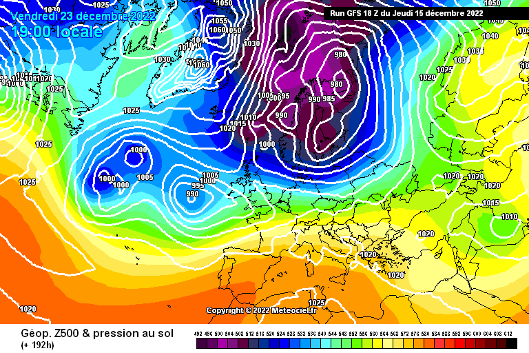
EC Op teases on what COULD be! Thing that struck me the most was the 1070 mb at the North Pole at +216.
As a late twenty something who has been lurking and sometimes contributing I'd never thought I'd see that!
Whilst all model output is guidance I await the Ens, if the GFS is sniffing out a pattern and we have more of a mild/cool "blip" (I mean look at the NH pattern) then POTENTIALLY this winter could be a treat.
My personal FI marker is from Sunday 18th Dec (Happy Hanukkah for those who celebrate!!) onwards
-
2
-
-
Just now, londonblizzard said:
Pert 11
No but in all seriousness, that would be bitter!
60/40 on the ECM potentially coming out with a colder option this evening, its a hunch. No evidence backing it. I could be very wrong.
-
2
-
-
Day 97 of me putting my head in my hands over this weather pattern and hoping for some consistency
12z's just go for cold again, again highlighting the unknowns of this pattern
Spoiler: There is none, other than a mild up over the weekend (not saying warm up in winter)
-
7
-


Model Output Discussion - Christmas week and beyond
in Forecast Model Discussion
Posted
As @MattH said last night, this is an airmass clash, but likewise - I haven't seen a fight quite like this before!!
Whilst the EC will be important, I'm not expecting a resolution for a while. I'm happy to be proven wrong however. In either a cold or mild way.