We have rain creeping in from the west, nibbling away at the fine but misty weather. The rest of this week is looking blustery with spells of rain and potentially stormy by Sun/Mon.
We’re still at the edge of the Scandinavian High with settled conditions for much of Britain and a chilly start in East Anglia. However, the Atlantic fronts have made a bit of progress overnight, with some pushing and shoving resulting in rain over Ireland, just into Cornwall and a brisk S/SE wind keeping most places mild. Again, it is a murky start with mist and patchy fog, or low cloud.
One low pressure will give the UK a glancing blow Thursday into Friday, with bands of blustery rain but nothing much as the High just sits stubbornly in place.
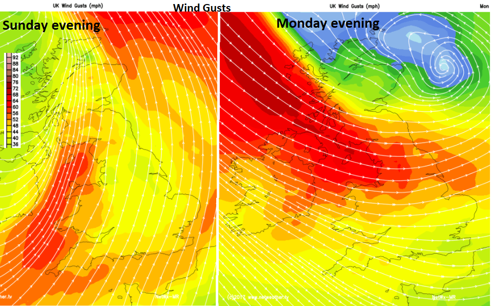
There has been tabloid hysteria already about “double hurricane hell” around another Atlantic low pressure which looks like it will affect the UK Sunday into Monday. At this range and with tropical air in the mix, the model output is varying a lot; today there are still signs of a stormy spell for the start of next week, but it has not been named. The timings and areas affected are still changing too much run to run, with many different solutions. It is something to keep an eye on in the forecast but we’ll await which bit of the UK it might affect and when. Today’s solution from the Netweather MR model (shown above), has a lengthy bout of rain and strong winds, with low pressure slowly heading towards Iceland unable to make much progress eastwards.
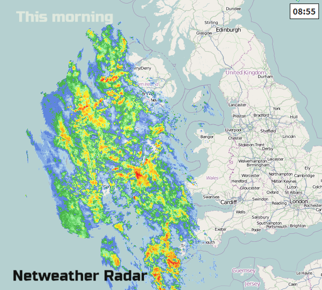
For much of Britain, today will be another fine, bright day with sunny spells, once the low cloud and murk has lifted. There will be more of a breeze today from the SE with strong winds for western areas, around Northern Ireland and the far north of Scotland, even gales along the coasts. There is also rain, a frontal band heading in from the west. As it struggles up against the high pressure the rain takes its time to move eastwards today and tonight. By lunchtime it will be over more of SW Britain and Northern Ireland, then this afternoon more of Wales. Ahead of the rain, it will become a bit more cloudy and blustery but still with bright skies for eastern Britain. By evening rush hour, there will be tricky conditions on the roads with persistent rain and strong wins for Northern Ireland, Wales and the West Country.
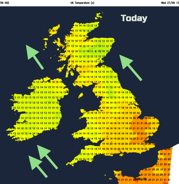
There is still some warmth about today, London could reach 21 or 22C (72F). Sunnier spots or to the lee of high ground will reach the high teens, but it will feel cool in the winds and rain. We’ll lose this warm southerly flow later in the week.
The rain band pivots away from SW Britain overnight, clearing Wales and Northern Ireland, sweeping across England but bringing a wet night to Scotland.
By Thursday much of the UK will be drier, brighter and feeling fresher with clearer air from the west. The rain band may not have cleared NE Britain to start the day but will head away across Shetland in the morning. There will be a fine lull after today’s wet and windy weather, a big change for western areas. However, another low pressure will be moving across the Atlantic and this will bring patchy rain to Northern Ireland later on Thursday. Brisk southerly winds set in again for Ireland.
Friday
This band of rain then moves across Britain on Friday, so another spell of wet and blustery weather but this does get a move on. It could feel warm for the SE of England ahead of the rain in the southerly flow. Behind that rain, it brightens up and there will be a few showers but with much brighter conditions.
The next few nights will be nippy, with a touch of frost. By day it will also feel cooler and we will then be watching the developments in the Atlantic to see if the UK will get a stormy spell for the start of the new week.
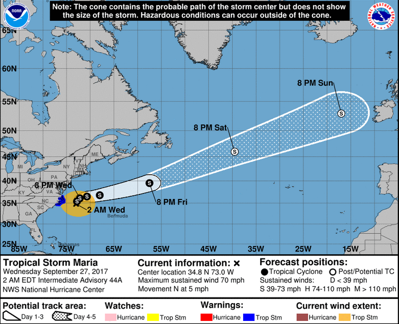
The tropical ingredients for the Sunday/Monday low pressure are from Maria and Lee currently across the Atlantic. Both were hurricanes, Maria infamous for the destruction of Caribbean islands and Puerto Rico. Currently Maria, as a Tropical Storm, is creating large waves and swell off the eastern seaboard but the remnants, the warm tropical air and extra energy, will carry across the Atlantic this weekend.
So, after the rather quiet misty start to this week we will see a band of blustery rain today into Thursday, then a brief sunny lull, before more rain and the possibility of wet and windy, even stormy, weather Sunday into Monday.