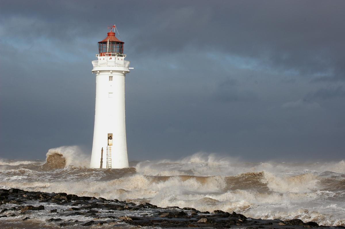
The humid air is gone, and for now many parts are dry and bright with just a scattering of showers. But beyond today, get set for some wet, windy spells of weather.
With yesterdays humid, unsettled conditions now into the North Sea, there's a very different feel to the weather today as Westerly winds move in. With the weather now coming off the Atlantic however, it's a changeable outlook. There'll be some rain or showers over the next few days especially in the North and West but more generally by the weekend, when it'll be increasingly windy and turning colder by Sunday.
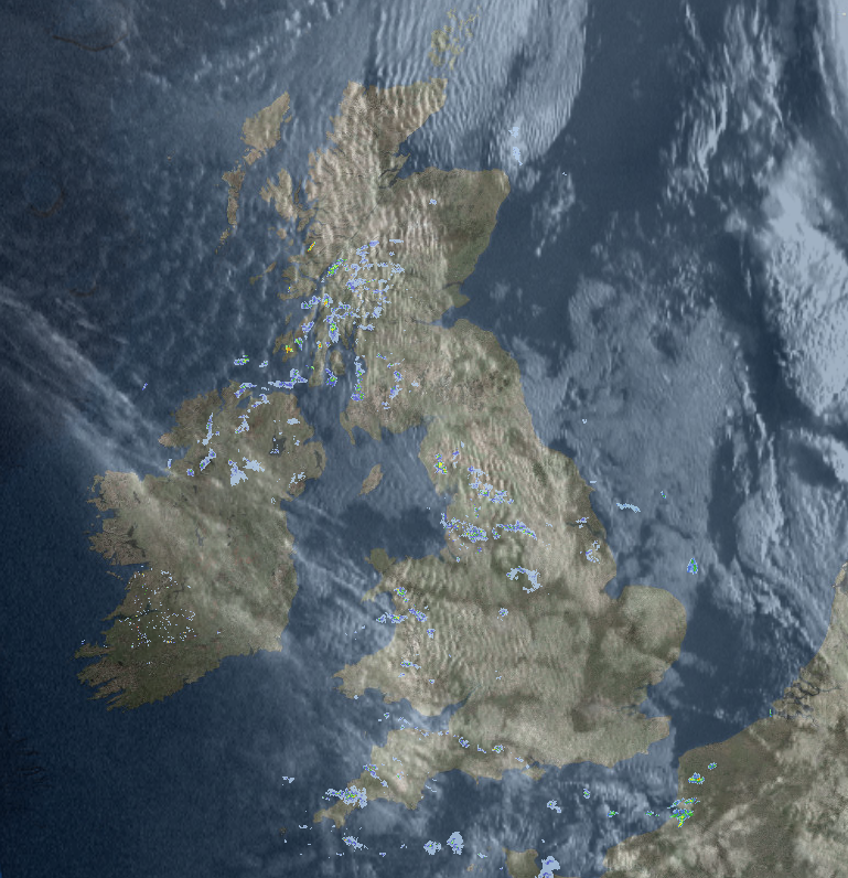
It's a chillier start this morning, with a mixture of patchy cloud and sunshine across the country. The cloud is presently giving a few showers mostly across northern England, but there's also a good deal of dry, bright weather.
Radar and satellite from earlier today - check the live radar here.
West Wales, Cumbria, parts of Lancashire, Northern Ireland and the North and West of Scotland will remain prone to showers into the afternoon, but elsewhere they'll be isolated leaving mostly dry conditions with sunny spells. A Westerly wind will be mostly moderate or fresh, locally strong over North Scotland and the Northern Isles. Across England and Wales, in particular, it'll feel much fresher, with top temperatures 13 to 16C in the North and 17 to 19C, locally 20C in the South.
There'll be further sunny spells before dusk especially in the East, with showers largely confined to western coasts and hills for a while into the evening. Many central and eastern areas stay dry overnight, but with cloud amounts more variable by morning. In the West, it'll become more cloudy into the early hours, with West Scotland and Northern Ireland, in particular, seeing further showers ahead of Atlantic systems moving in. The wind will be lighter for a while after dark, before 'backing' South Westerly and freshening again in the West towards morning. It may turn chilly in rural parts of eastern England for a while, with temperatures mostly in the range 7 to 11C by dawn.
The brightest weather on Thursday will be at first towards East Anglia and the South East, but any early sunshine will disappear as cloud increases. Much of central and southern England though should be largely dry for much of the day, with just patchy mostly light rain breaking out later. You could also see some brightness East of the Pennines, to begin with, but elsewhere it'll be a mostly cloudy day. Showery bursts of rain over Northern Ireland and West Scotland some heavy will soon spread to the remainder of Scotland and Cumbria, reaching remaining parts through the afternoon.
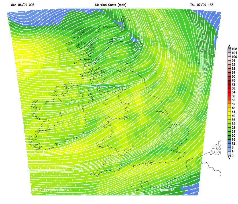
A South West wind will freshen becoming strong in the North and West, with gales possible for a while over exposed parts of Northern Ireland and the North and West of Scotland.
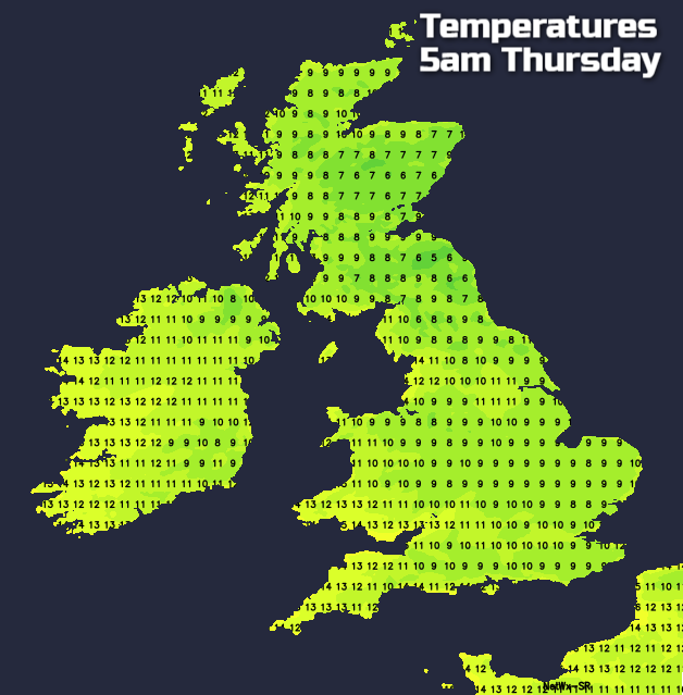
As a result and after a chilly start in some eastern areas it won't be particularly warm, with temperatures getting no higher than 13 to 15C in the North and 16 to 18C further South.
Much of England and Wales have a cloudy evening and night. There'll be some rain, but much of it, especially in the South, should be light and patchy, with somewhat clearer, colder weather although still with a few showers in the West, perhaps moving into northern England later. Scotland and Northern Ireland after some further rain see skies breaking especially in the East, but with blustery showers, heaviest and most frequent in the North and West. A fresh South West or Westerly will give strong perhaps gale force gusts over exposed coasts and hills, but temperatures shouldn't fall below 6 to 9C in the North and 11 to 13C in the South.