A very unsettled, low pressure driven spell of weather on the way.
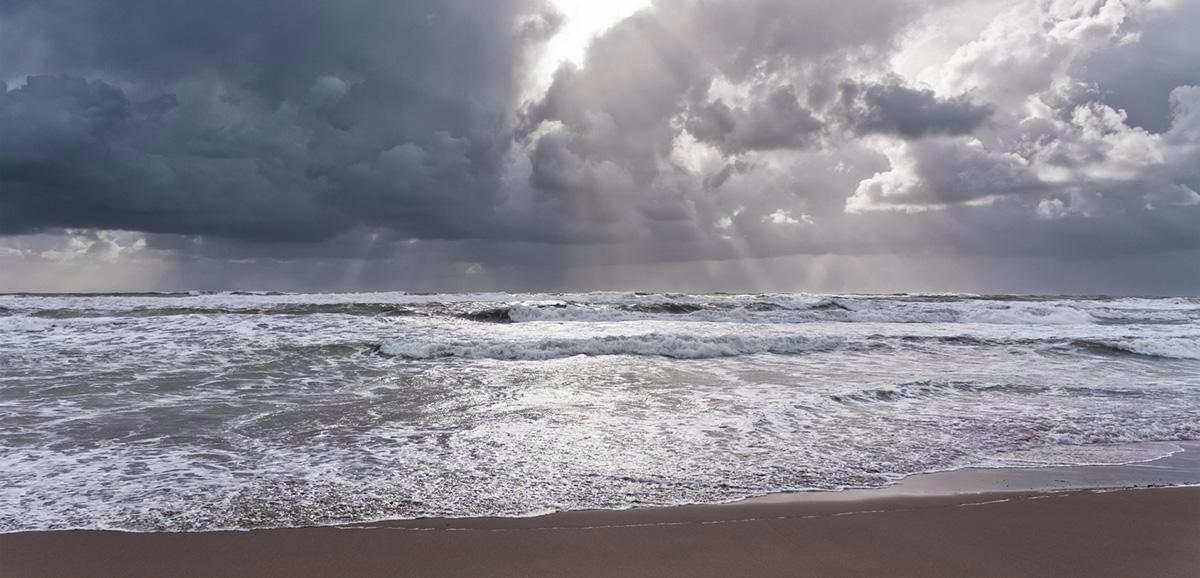
We are entering a very unsettled spell of weather now, with a complex area of low pressure developing to the South West that'll eventually bring us all some wet and windy weather for the start of the working week. For today though it's a relatively straightforward story of sunshine and showers.
We already have an area of cloud giving showers some heavy over Cornwall, Devon and South Wales that'll soon move into the West Country. Much of Wales and the West Midlands after early sunshine see showers developing through the morning as cloud builds, these moving into northern England by the afternoon here too, some heavy giving thunder. Scotland will also see showers, but they may not be as frequent as yesterday before fading from Northern Ireland later in the afternoon ahead of a frontal system moving in from the West. After a fine quite sunny start across central and eastern areas, a few showers will develop later, but parts of East Anglia and the South East will miss them, and there'll continue to be sunny spells.
A mostly light or moderate South to South West wind will be fresh and blustery in the vicinity of the heavier showers. It'll also feel quite fresh, but despite this, temperatures will reach a pleasantly warm 18 to 20C in the East and South 13 to 17C in the North and West.
There'll be further scattered showers into the evening, but they'll largely fade after dark, with skies breaking to give a few clear intervals in central and eastern areas. Across Northern Ireland, there'll be a spell of rain moving in probably replaced by still quite frequent showers by morning. West Scotland and Cumbria may also see bursts of rain moving in later in the night, with cloud increasing across many other more western areas by morning. A southerly wind will freshen ahead of the rain, but with lighter breezes in the East at least for a time, it could turn a little chilly in some rural areas, but it's not expected to be a cold night, with lowest temperatures between about 8 and 11C.
Monday will start dry and bright in eastern and some central areas, but cloud will increase with outbreaks of rain 'edging-in' from the West, although much of the day should be dry across East Anglia and the South East. Elsewhere it'll be wet with the rain heavy at times, accompanied by a blustery southerly wind that'll give unseasonably strong or gale force over exposed coasts and hills. Northern Ireland should see somewhat lighter breezes, but there'll be frequent showers heavy in places, this spreading to West Scotland through the afternoon. The very unsettled conditions will lead to a cooler day, with top temperatures 16 to 18C in the East and South but only 13 to 15C in the North and West.
With a complex and quite deep depression for the time of year tracking across the country during the evening and overnight, it'll remain very unsettled. There'll be further occasional rain or showers heavy and prolonged in places, with a blustery wind that may give gusts in excess of gale force from the North West or North later in the night across the South West, Wales and Northern Ireland. Scotland, however, should have lighter breezes and temperatures shouldn't fall below 8 to 12C.
The blustery, showery weather will continue into Tuesday with gales perhaps severe in exposed areas at first before winds slowly moderate after dark to give a brief lull. Later on Wednesday, more wet and windy weather affects the North and West in particular. It'll then remain unsettled here while the East and South although not entirely settled become somewhat finer and warmer again towards next weekend.