With low pressure nearby the next few days bring more showers, from the Atlantic but also rain to the east coast. Temperatures are down a bit, although the sunshine remain strong, looks warmer by the end of the weekend
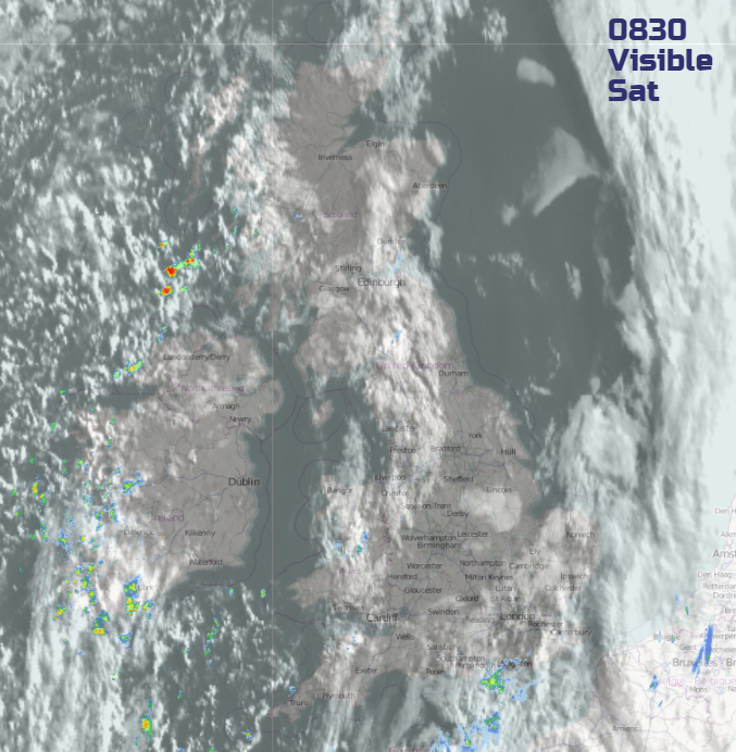
Last night’s rain has now cleared away from East Anglia out in the North Sea. There is still an area of cloud along the east coast over the far SE of England which is producing further showery outbreaks of rain, coming up from the Channel. Here, it is still mild at 10 or 11C. Much of the UK has had a cooler night under clear skies, with temperatures around 3 or 4C. There is a lot of sunshine and blue skies over the rest of the UK but streaked with other lines of cloud giving just a few showers. North Devon, Wales up to the Central Belt sees one line and more showers are grazing western Ireland up to western Scotland. Today will feel fresher for most, but the sunshine is still strong.
Today, we under the influence of a low pressure away to the NW. In the more westerly flow off the Atlantic, showers will appear with plenty of bright or sunny spells in between. These showers continue to feed in for the next few days with more cool air and fresh nights. We haven’t seen the last of the band of rain which has just cleared off into the North Sea from overnight.
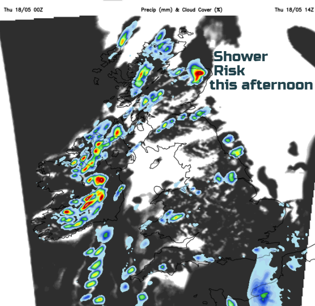
Many parts will continue to enjoy a fine bright often sunny day. There is the risk of showers, with heavy downpours even thunder for western fringes, scattered over Scotland and more for Northern Ireland. With hardly any breeze they will be slow moving and quite an interruption. A slight westerly wind will pick up this afternoon coming off the Irish Sea, so western counties will feel cool at 12 or 13C. Eastern Britain should see 17 to 19C. There will be a few showers dotted over England and Wales but heavier rain heads into the far SE of England this evening and overnight.
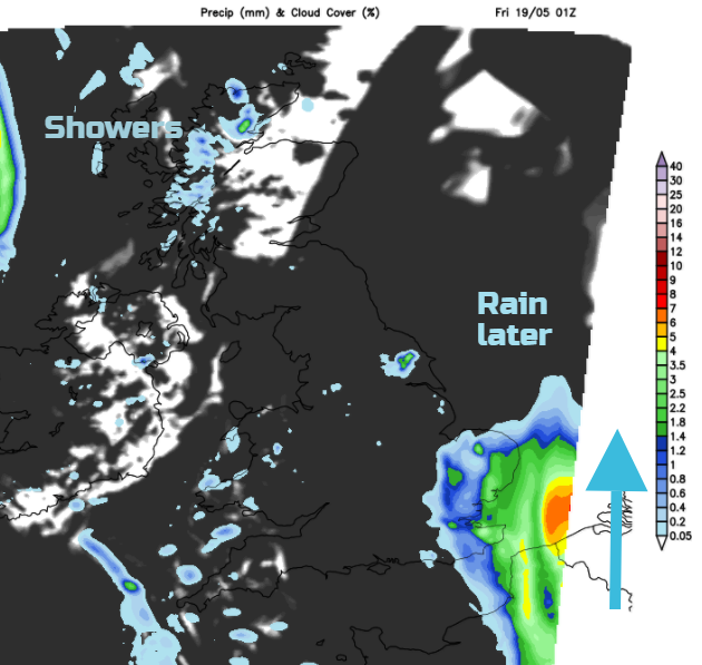
This overnight rain will be very welcome by some. The main heavier rain looks to brushes past Kent, E.Sussex, Essex, Suffolk and eastern Norfolk. There is lower confidence about the impact on other parts of East Anglia and SE England. By Friday morning, eastern England will have more cloud and outbreaks of rain, with a damp morning in store. Most areas will be more cloud and dull, still cool with light winds and showers in the far west.
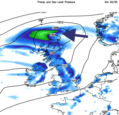
This eastern rain links in with last night’s band of rain in the North Sea. Another area of low pressure begins to form over northern France and will dumb-bell around the low to the NW of the UK. So unusually a low pressure brushes past the SE of England and moves up the North Sea and west over the top of Scotland by Saturday. This results in more cloud and showery rain for eastern Britain and then the far north, while showers still try to move in from the Atlantic. In between will be more sunshine but it will all be a bit hit and miss. Finally, the Atlantic wins back and after a bit of rain, there should be warmer conditions for the end of the weekend.