
Synoptic Outlook - mixed Late August Bank Holiday Weekend then becoming increasingly settled for the start of September.
The Bank Holiday Weekend is looking mixed with some sunshine, but also a risk of showers or longer spells of rain to sum it up generally across the UK. However, as we start September and the schools go back, it finally looks like the weather's going to settle down next week, as high pressure builds from the west. Funny that. Though it doesn't look like there will be a heatwave, for now.
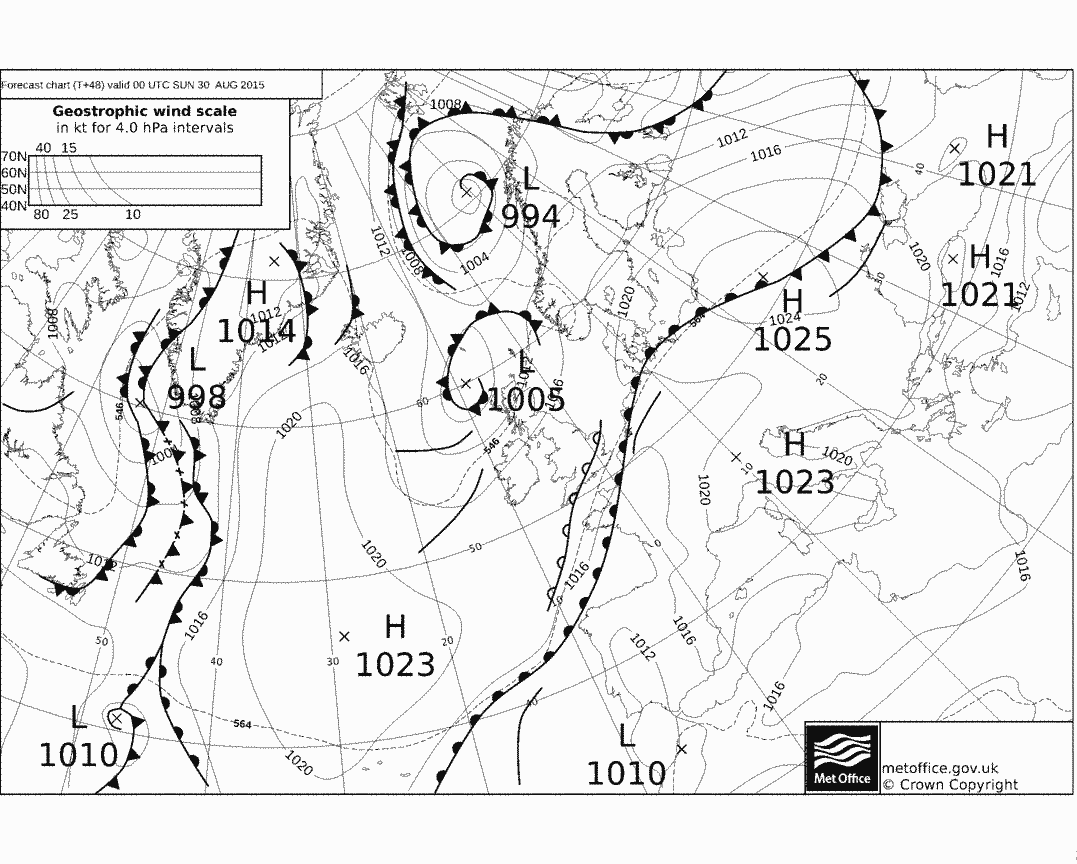
This weekend, the UK will be sandwiched between low pressure to the north and low pressure to the south and high pressure to the east over eastern Europe and to the west over the Atlantic. A strong southwesterly jet stream will be slap bang over the UK for much of the weekend and with low pressure influence from both the north and south, nowhere will really be immune from some rain. Showers likely on Saturday and Sunday will be mostly towards the north and west closer to an area of low pressure that will be to the NW of the UK on Saturday, before moving east to be north of the UK on Sunday. Central, southern and eastern England will generally escape the showers. But there is the complication of shallow low pressure over the Bay of Biscay and France this weekend, which will be accompanied by a waving weather front that lies across France and southwest towards NW Spain and all the way to the Azores on Saturday before looking to drift north across southern England and East Anglia late on Saturday and during Sunday. This front threatening some rain across the far southeast of England for a time from Saturday evening through into Sunday morning.
Saturday outlook:
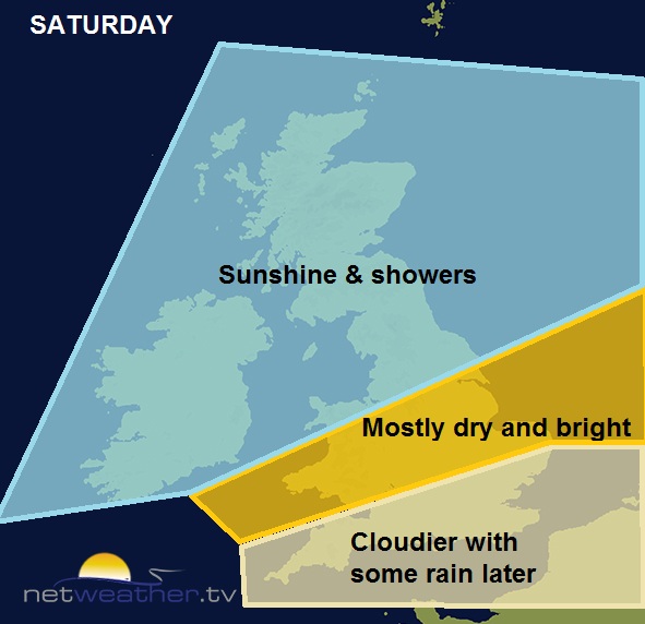
Fronts drifting towards S England from the south bring cloudier skies and threatening some rain later on Saturday:
Then the rain looks set to return again across southern areas later on Sunday and overnight into Monday morning, though there is some uncertainty over the northern and western extent of this rain returning from the south during the second half of the weekend. It may spread in across Wales, Midlands and the far south of northern England. The rain could also turn heavy in places and perhaps thundery across the far southeast.The models often struggle with these waving weather fronts and just how far north the move. Where the sun comes out on Saturday and Sunday, temperatures perhaps reaching 17-19C in the north and west, 19-22C across central, southern and eastern areas.
Sunday outlook:
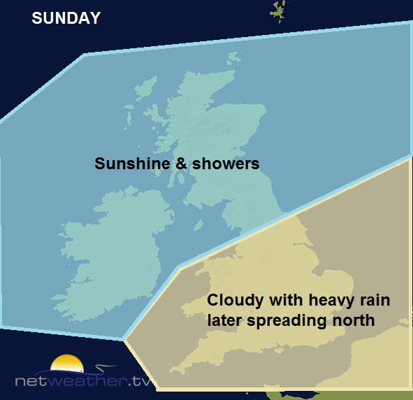
Fronts bringing rain move in across southern and eastern England from the south later Sunday before clearing Monday, uncertainty how far north and west rain will spread and how quickly it clears:
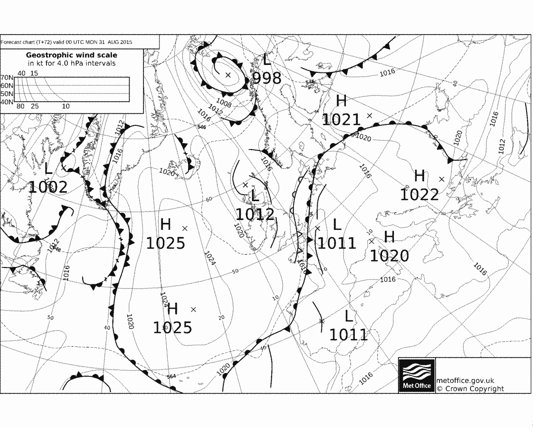
Then on Monday, the area of low pressure to the north ends up to the northeast of the UK and low pressure to the south moves NE towards the North Sea too, with the jet stream over the UK clearing away east. This will mean a cooler, brighter, but showery north or northwesterly flow across the north will try to push south. However, there still some uncertainty how quickly the rain, which spreads across parts of England and Wales on Sunday, will clear on Monday. The cool conditions will be most notably felt across northern areas, where temperatures may reach the mid-teens at best, high teens or maybe 20-21C across the south.
Monday outlook:
.jpg)
Then September starts on Tuesday and we continue with a cool northerly flow after a chilly Monday night, though at least there will be fewer showers and more sunshine than Monday, any showers mostly in the east
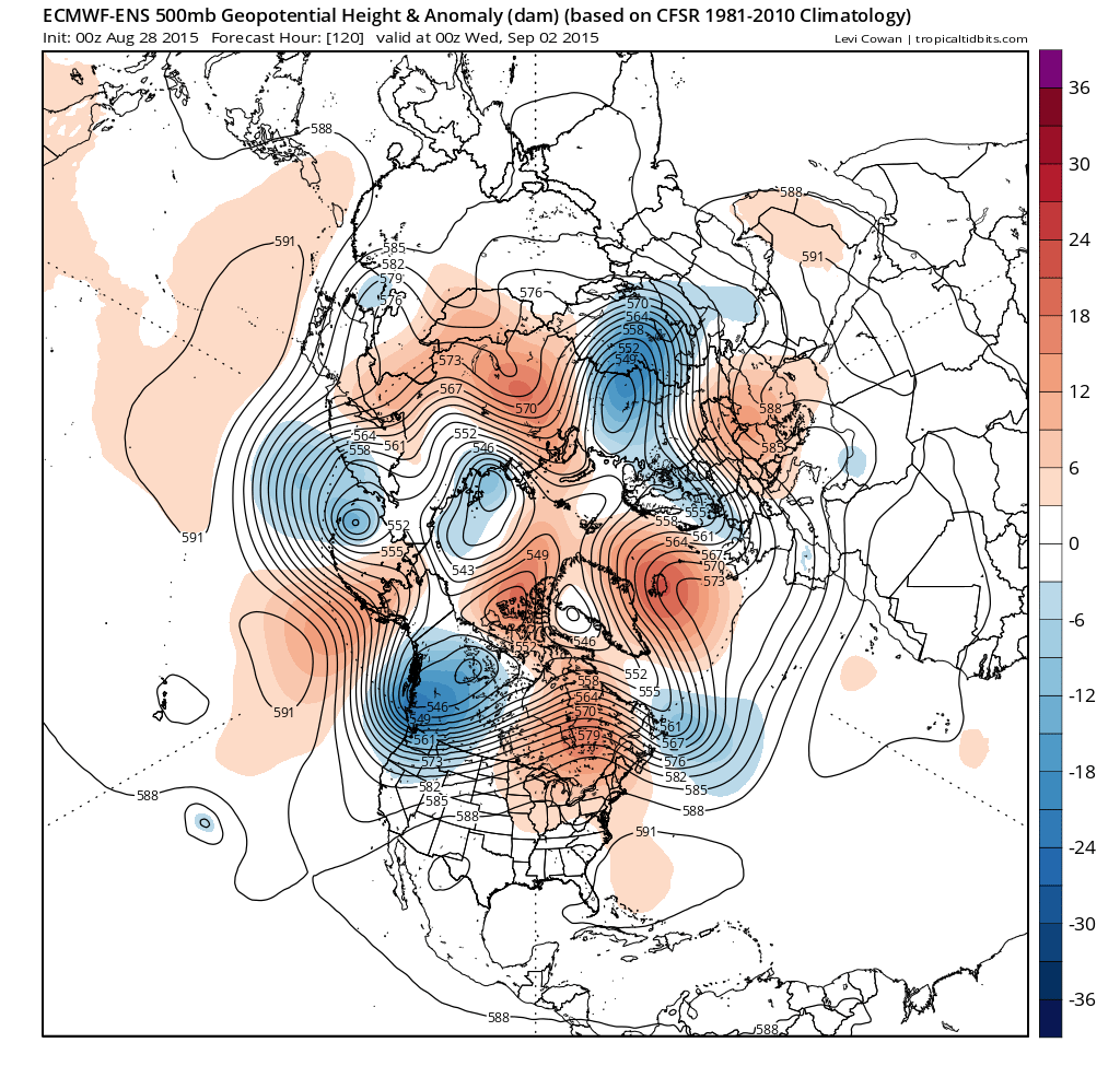
High pressure lurking to the west is then indicated to nudge in across the UK from mid-week, so it looks like becoming dry and settled from Wednesday to the end of the week and also through the first weekend of September and perhaps beyond. Flow continues from the north to the end of the week at least, so temperatures never really getting particularly warm by day and getting chilly at night. High pressure close to the west may eventually drift east over the UK, so we may eventually lose the cool flow and it warms up across southern areas.
High pressure close to the west takes over from beginning of September/ midweek.
So, after a rather unsettled August for many, September looks like starting on a dry and settled theme, with something that’s been absent for most of summer, high pressure!


